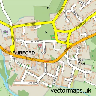
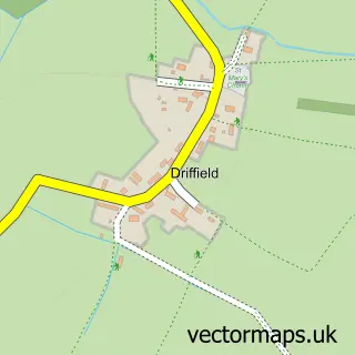
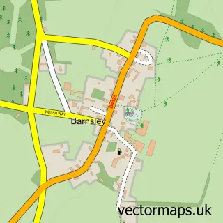
This Poulton street map is a detailed vector street map covering a 750m x 750m area. Select a larger area to create and download your own vector street map of Poulton.
The 750-metre map sample for Poulton covers 153 mapped buildings and approximately 13.2 km of road detail, of which 6 named roads are named. The immediate area includes 1 pub and 1 MOT station within 2 miles. The wider area around Poulton features 1 food and drink venue. To create a larger or custom map of Poulton, the map builder lets you define your own coverage area and download editable SVG, PDF and PNG files.
Create a larger editable map of Poulton
Choose any area you need and generate a high-quality vector map instantly. Perfect for print, planning, design, business and personal use.

This Poulton street map in Gloucestershire is available as downloadable SVG, PDF and PNG map files, or as a printed map for planning, business, display, education, local information and design work. You can also create a larger custom map area using the map selector.
What this Poulton map sample shows
Poulton lies within Poulton Cp parish, part of The Ampneys & Hampton ward in the Cotswold District local authority area. The postcode geography for this area includes the GL postcode area, the GL7 postcode district and the GL7 5 postcode sector. Residents fall under the Nhs Gloucestershire Integrated Care Board for NHS services.
Local features near Poulton
Within 2 milesAmenities and services in and around Poulton.
Administrative and postcode information for Poulton
The local authority covering Poulton is Cotswold District, within the county of Gloucestershire. The settlement lies within The Ampneys & Hampton ward and Poulton Cp civil parish. The GL7 postcode district and GL7 5 postcode sector serve the immediate area. NHS provision in the area is delivered through Gloucestershire Hospitals Nhs Foundation Trust.
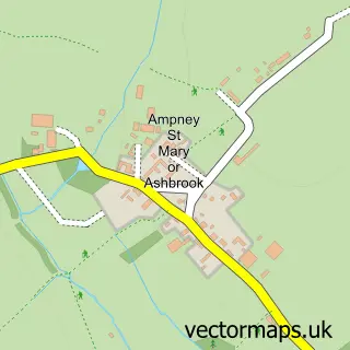
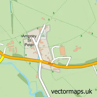
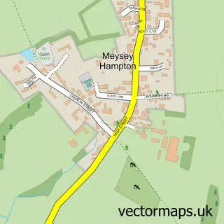
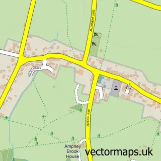
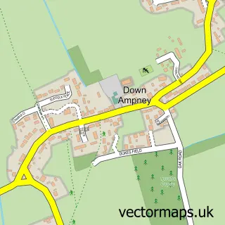
Nearby street map samples around Poulton

More street maps in Gloucestershire
750 metre map area coverage
Boundary, postcode and point of interest information for the 750m x 750m rectangle centred on this sample map.
Boundaries containing map centre
Constituency: South Cotswolds Co Const
County: Gloucestershire County
District: Cotswold District
Icb: NHS Gloucestershire ICB
Parish: Poulton CP
Police Force: gloucestershire
Postcode District: GL7
Postcode Sector: GL7 5
Ward: The Ampneys & Hampton Ward
Nearby boundaries intersecting sample
Parish: Ampney St. Mary CP, Ampney St. Peter CP
Postcode coverage
POI category counts
Active Life: 1
Anglican Church: 1
Beauty And Spa: 1
Beauty Product Supplier: 1
Business Management Services: 1
Convenience Store: 1
Plumbing: 1
Post Office: 1
Pub: 1
Real Estate Agent: 1
Sample points of interest
- Velo Events
- St Michael & All Angels, Poulton
- Beauty On The Move
- Eden Beauty
- Business Management Solutions
- Your Village Shop Ltd
- LT Plumbing and Property Maintenance
- Poulton Post Office
- The Falcon Inn
- Poulton Hill
- Poulton Cricket Club
- Leo Trippi
Create a larger editable map of Poulton
This sample shows only a 750 metre area. To create a larger map of Poulton, use our map builder to choose your own coverage area, add titles and download editable SVG, PDF and PNG files.
Create a custom map of Poulton