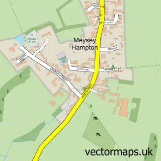
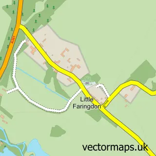
This Whelford street map is a detailed vector street map covering a 750m x 750m area. Select a larger area to create and download your own vector street map of Whelford.
The 750-metre map sample for Whelford covers 89 mapped buildings and approximately 7.7 km of road detail. The immediate area includes 1 GP surgery within 2 miles and 3 MOT stations within 2 miles. The wider area around Whelford features 4 tourism points of interest and 1 campsite within 2 miles. To create a larger or custom map of Whelford, the map builder lets you define your own coverage area and download editable SVG, PDF and PNG files.
Create a larger editable map of Whelford
Choose any area you need and generate a high-quality vector map instantly. Perfect for print, planning, design, business and personal use.

This Whelford street map in Gloucestershire is available as downloadable SVG, PDF and PNG map files, or as a printed map for planning, business, display, education, local information and design work. You can also create a larger custom map area using the map selector.
What this Whelford map sample shows
Whelford lies within Kempsford Cp parish, part of Lechlade, Kempsford & Fairford South ward in the Cotswold District local authority area. The postcode geography for this area includes the GL postcode area, the GL7 postcode district and the GL7 4 postcode sector. Residents fall under the Nhs Gloucestershire Integrated Care Board for NHS services.
Local features near Whelford
Within 2 milesAmenities and services in and around Whelford.
Administrative and postcode information for Whelford
The local authority covering Whelford is Cotswold District, within the county of Gloucestershire. The settlement lies within Lechlade, Kempsford & Fairford South ward and Kempsford Cp civil parish. The GL7 postcode district and GL7 4 postcode sector serve the immediate area. NHS provision in the area is delivered through Great Western Hospitals Nhs Foundation Trust.
Nearby street map samples around Whelford
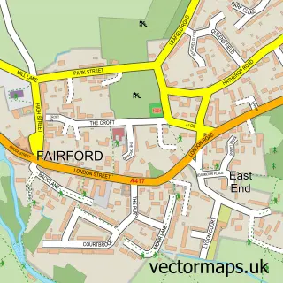

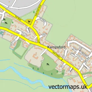
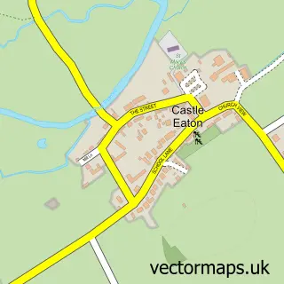
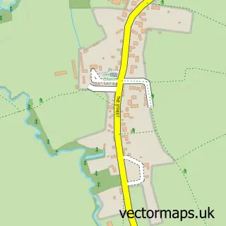
More street maps in Gloucestershire
750 metre map area coverage
Boundary, postcode and point of interest information for the 750m x 750m rectangle centred on this sample map.
Boundaries containing map centre
Constituency: South Cotswolds Co Const
County: Gloucestershire County
District: Cotswold District
Icb: NHS Gloucestershire ICB
Parish: Kempsford CP
Police Force: gloucestershire
Postcode District: GL7
Postcode Sector: GL7 4
Ward: Lechlade, Kempsford & Fairford South Ward
Nearby boundaries intersecting sample
No additional intersecting boundaries found.
Postcode coverage
POI category counts
Campground: 4
Anglican Church: 1
Eat And Drink: 1
Farm: 1
Hvac Supplier: 1
Pet Boarding: 1
Pet Sitting: 1
Sample points of interest
- St Anne, Whelford
- Barn Owl Camp
- Fairfordairshowcamping
- Flyby Camping
- RIAT Camping Raf Fairford Whelford Pools
- The Cotswold Pantry Co
- The Island at Great Farm
- Heating & Domestic Services
- Lakeview Holidays
- Barking Mad Cotswolds
Create a larger editable map of Whelford
This sample shows only a 750 metre area. To create a larger map of Whelford, use our map builder to choose your own coverage area, add titles and download editable SVG, PDF and PNG files.
Create a custom map of Whelford