This Castle Eaton street map is a detailed vector street map covering a 750m x 750m area. Select a larger area to create and download your own vector street map of Castle Eaton.
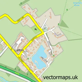
The 750-metre map sample for Castle Eaton covers 101 mapped buildings and approximately 14.8 km of road detail, of which 6 named roads are named. The immediate area includes 1 pub and 1 MOT station, with 2 within 2 miles. The wider area around Castle Eaton features 2 food and drink venues. To create a larger or custom map of Castle Eaton, the map builder lets you define your own coverage area and download editable SVG, PDF and PNG files.
Create a larger editable map of Castle Eaton
Choose any area you need and generate a high-quality vector map instantly. Perfect for print, planning, design, business and personal use.

This Castle Eaton street map in Wiltshire is available as downloadable SVG, PDF and PNG map files, or as a printed map for planning, business, display, education, local information and design work. You can also create a larger custom map area using the map selector.
What this Castle Eaton map sample shows
Castle Eaton lies within Castle Eaton Cp parish, part of Blunsdon And Highworth ward in the Swindon (B) local authority area. The postcode geography for this area includes the SN postcode area, the SN6 postcode district and the SN6 6 postcode sector. Residents fall under the Nhs Bath And North East Somerset, Swindon And Wiltshire Integrated Care Board for NHS services.
Local features near Castle Eaton
Within 2 milesAmenities and services in and around Castle Eaton.
Administrative and postcode information for Castle Eaton
Castle Eaton lies within Castle Eaton Cp parish, part of Blunsdon And Highworth ward in the Swindon (B) local authority area. The postcode geography for this area includes the SN postcode area, the SN6 postcode district and the SN6 6 postcode sector. Residents fall under the Nhs Bath And North East Somerset, Swindon And Wiltshire Integrated Care Board for NHS services.
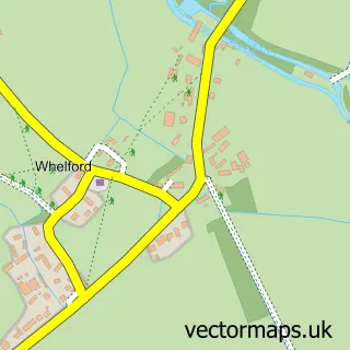
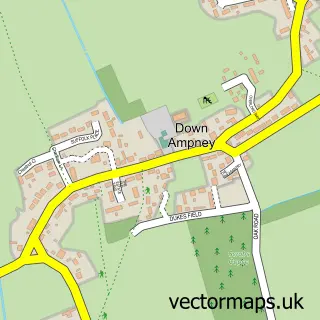
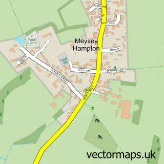
Nearby street map samples around Castle Eaton

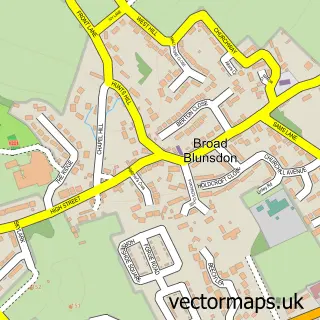
More street maps in Wiltshire
750 metre map area coverage
Boundary, postcode and point of interest information for the 750m x 750m rectangle centred on this sample map.
Boundaries containing map centre
Constituency: Swindon North Co Const
District: Swindon (B)
Icb: NHS Bath and North East Somerset Swindon and Wiltshire ICB
Parish: Castle Eaton CP
Police Force: wiltshire
Postcode District: SN6
Postcode Sector: SN6 6
Ward: Blunsdon and Highworth Ward
Nearby boundaries intersecting sample
Constituency: South Cotswolds Co Const
District: Wiltshire
Parish: Latton CP, Marston Maisey CP
Postcode coverage
POI category counts
Post Office: 2
Anglican Church: 1
Animal Shelter: 1
Automotive: 1
Bridge: 1
Clothing Store: 1
Event Planning: 1
It Service And Computer Repair: 1
Pub: 1
Restaurant: 1
Sample points of interest
- St Mary the Virgin, Castle Eaton
- Droveway Kennels Dog Boarding in Swindon, Wiltshire
- Prestige Selection Windows And Doors
- Castle Eaton Bridge
- M&S - Quayside Media City
- Itsyourparties
- Bloomfield Design Ltd.
- Castle Eaton Post Office
- Post Office-Castle Eaton
- The Red Lion
- Leon Rojo
- Timports
Create a larger editable map of Castle Eaton
This sample shows only a 750 metre area. To create a larger map of Castle Eaton, use our map builder to choose your own coverage area, add titles and download editable SVG, PDF and PNG files.
Create a custom map of Castle Eaton