This Latton street map is a detailed vector street map covering a 750m x 750m area. Select a larger area to create and download your own vector street map of Latton.
The 750-metre map sample for Latton covers 156 mapped buildings and approximately 11.2 km of road detail, of which 10 named roads are named. The immediate area includes 1 GP surgery within 2 miles and 4 MOT stations within 2 miles. To create a larger or custom map of Latton, the map builder lets you define your own coverage area and download editable SVG, PDF and PNG files.
Create a larger editable map of Latton
Choose any area you need and generate a high-quality vector map instantly. Perfect for print, planning, design, business and personal use.

This Latton street map in Wiltshire is available as downloadable SVG, PDF and PNG map files, or as a printed map for planning, business, display, education, local information and design work. You can also create a larger custom map area using the map selector.
What this Latton map sample shows
Latton lies within Latton Cp parish, part of Cricklade And Latton ward in the Wiltshire local authority area. The postcode geography for this area includes the SN postcode area, the SN6 postcode district and the SN6 6 postcode sector. Residents fall under the Nhs Bath And North East Somerset, Swindon And Wiltshire Integrated Care Board for NHS services.
Local features near Latton
Within 2 milesAmenities and services in and around Latton.
Administrative and postcode information for Latton
Latton lies within Latton Cp parish, part of Cricklade And Latton ward in the Wiltshire local authority area. The postcode geography for this area includes the SN postcode area, the SN6 postcode district and the SN6 6 postcode sector. Residents fall under the Nhs Bath And North East Somerset, Swindon And Wiltshire Integrated Care Board for NHS services.
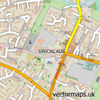
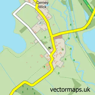
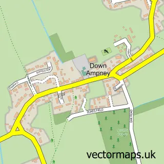
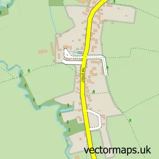
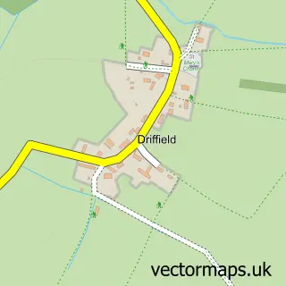
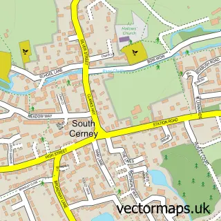
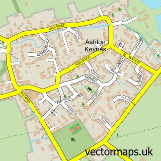
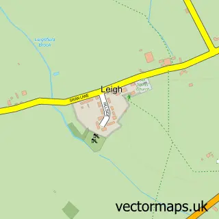
Nearby street map samples around Latton

More street maps in Wiltshire
750 metre map area coverage
Boundary, postcode and point of interest information for the 750m x 750m rectangle centred on this sample map.
Boundaries containing map centre
Constituency: South Cotswolds Co Const
District: Wiltshire
Icb: NHS Bath and North East Somerset Swindon and Wiltshire ICB
Parish: Latton CP
Police Force: wiltshire
Postcode District: SN6
Postcode Sector: SN6 6
Nearby boundaries intersecting sample
No additional intersecting boundaries found.
Postcode coverage
POI category counts
Anglican Church: 1
Business Consulting: 1
Home Decor: 1
Marketing Agency: 1
Transportation: 1
Warehouses: 1
Sample points of interest
- St John the Baptist
- Venture Renewable Energy
- Frith Sculpture Ltd.
- Big Yellow Marketing Communications
- Latton Bus Stop
- Waterpark Storage Ltd.
Create a larger editable map of Latton
This sample shows only a 750 metre area. To create a larger map of Latton, use our map builder to choose your own coverage area, add titles and download editable SVG, PDF and PNG files.
Create a custom map of Latton