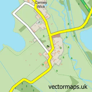
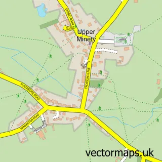
This Ashton Keynes street map is a detailed vector street map covering a 750m x 750m area. Select a larger area to create and download your own vector street map of Ashton Keynes.
The 750-metre map sample for Ashton Keynes covers 447 mapped buildings and approximately 15.4 km of road detail, of which 26 named roads are named. The immediate area includes 1 pub and 1 MOT station, with 3 within 2 miles. The wider area around Ashton Keynes features 2 tourism points of interest, 2 food and drink venues and 1 campsite within 2 miles. To create a larger or custom map of Ashton Keynes, the map builder lets you define your own coverage area and download editable SVG, PDF and PNG files.
Create a larger editable map of Ashton Keynes
Choose any area you need and generate a high-quality vector map instantly. Perfect for print, planning, design, business and personal use.

This Ashton Keynes street map in Wiltshire is available as downloadable SVG, PDF and PNG map files, or as a printed map for planning, business, display, education, local information and design work. You can also create a larger custom map area using the map selector.
What this Ashton Keynes map sample shows
Ashton Keynes lies within Ashton Keynes Cp parish, part of Minety ward in the Wiltshire local authority area. The postcode geography for this area includes the SN postcode area, the SN6 postcode district and the SN6 6 postcode sector. Residents fall under the Nhs Bath And North East Somerset, Swindon And Wiltshire Integrated Care Board for NHS services.
Local features near Ashton Keynes
Within 2 milesAmenities and services in and around Ashton Keynes.
Administrative and postcode information for Ashton Keynes
Ashton Keynes lies within Ashton Keynes Cp parish, part of Minety ward in the Wiltshire local authority area. The postcode geography for this area includes the SN postcode area, the SN6 postcode district and the SN6 6 postcode sector. Residents fall under the Nhs Bath And North East Somerset, Swindon And Wiltshire Integrated Care Board for NHS services.
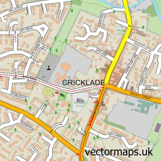
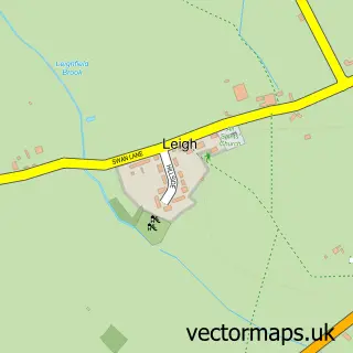
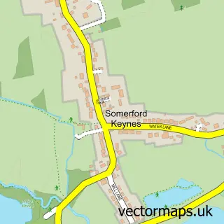
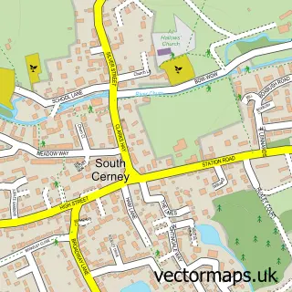
Nearby street map samples around Ashton Keynes

More street maps in Wiltshire
750 metre map area coverage
Boundary, postcode and point of interest information for the 750m x 750m rectangle centred on this sample map.
Boundaries containing map centre
Constituency: South Cotswolds Co Const
District: Wiltshire
Icb: NHS Bath and North East Somerset Swindon and Wiltshire ICB
Parish: Ashton Keynes CP
Police Force: wiltshire
Postcode District: SN6
Postcode Sector: SN6 6
Nearby boundaries intersecting sample
No additional intersecting boundaries found.
Postcode coverage
POI category counts
Automotive Repair: 2
Sports Club And League: 2
Yoga Studio: 2
Automotive Parts And Accessories: 1
Beauty Salon: 1
Bed And Breakfast: 1
Bridal Shop: 1
Building Contractor: 1
Business Consulting: 1
Business Management Services: 1
Sample points of interest
- Powerful U K
- Ellisons Garage
- RaceWorx
- Natural Beauty Salon
- Wheatleys Farm Bed and Breakfast
- Abi Williamson Photography
- Osprey Windows
- J & I Associates Limited
- Ellisons Coaches
- Ashton Keynes Castle
- Ashton Keynes Village Hall
- The Cotswold Cookery School
Create a larger editable map of Ashton Keynes
This sample shows only a 750 metre area. To create a larger map of Ashton Keynes, use our map builder to choose your own coverage area, add titles and download editable SVG, PDF and PNG files.
Create a custom map of Ashton Keynes