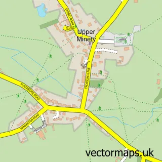
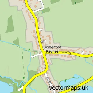
This Minety street map is a detailed vector street map covering a 750m x 750m area. Select a larger area to create and download your own vector street map of Minety.
The 750-metre map sample for Minety covers 234 mapped buildings and approximately 6.2 km of road detail, of which 11 named roads are named. The immediate area includes 1 school and 1 MOT station. The wider area around Minety features 1 food and drink venue. To create a larger or custom map of Minety, the map builder lets you define your own coverage area and download editable SVG, PDF and PNG files.
Create a larger editable map of Minety
Choose any area you need and generate a high-quality vector map instantly. Perfect for print, planning, design, business and personal use.

This Minety street map in Wiltshire is available as downloadable SVG, PDF and PNG map files, or as a printed map for planning, business, display, education, local information and design work. You can also create a larger custom map area using the map selector.
What this Minety map sample shows
Minety lies within Minety Cp parish, part of Minety ward in the Wiltshire local authority area. The postcode geography for this area includes the SN postcode area, the SN16 postcode district and the SN16 9 postcode sector. Residents fall under the Nhs Bath And North East Somerset, Swindon And Wiltshire Integrated Care Board for NHS services.
Local features near Minety
Within 2 milesAmenities and services in and around Minety.
Administrative and postcode information for Minety
Minety lies within Minety Cp parish, part of Minety ward in the Wiltshire local authority area. The postcode geography for this area includes the SN postcode area, the SN16 postcode district and the SN16 9 postcode sector. Residents fall under the Nhs Bath And North East Somerset, Swindon And Wiltshire Integrated Care Board for NHS services.
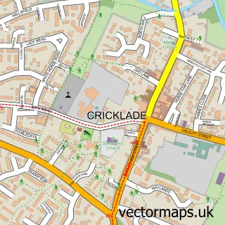
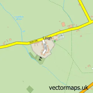
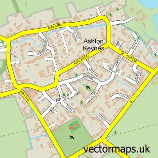
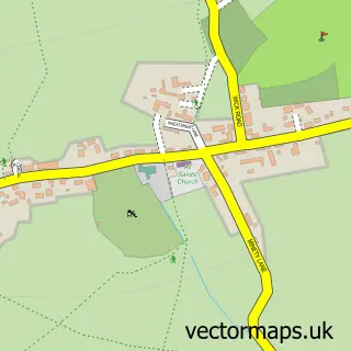
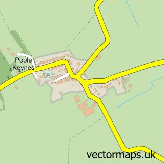
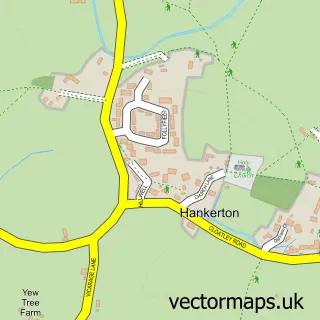
Nearby street map samples around Minety

More street maps in Wiltshire
750 metre map area coverage
Boundary, postcode and point of interest information for the 750m x 750m rectangle centred on this sample map.
Boundaries containing map centre
Constituency: South Cotswolds Co Const
District: Wiltshire
Icb: NHS Bath and North East Somerset Swindon and Wiltshire ICB
Parish: Minety CP
Police Force: wiltshire
Postcode District: SN16
Postcode Sector: SN16 9
Nearby boundaries intersecting sample
No additional intersecting boundaries found.
Postcode coverage
POI category counts
Automotive Repair: 3
Child Care And Day Care: 2
Ambulance And Ems Services: 1
Business Manufacturing And Supply: 1
Car Dealer: 1
Carpenter: 1
Coffee Shop: 1
Community Center: 1
Convenience Store: 1
Education: 1
Sample points of interest
- Apa Associates
- DPE AUTOS
- G&D Vehicle Services
- LT Elston Garage (Mercedes-Benz Specialist)
- Kinch Fuel Oils
- Classic Bahnstormers
- D P Carpentry & Building Services
- Elf Sitters
- West Country Au Pairs
- Minety Mates
- Minety Village Hall
- Minety Community Shop
Create a larger editable map of Minety
This sample shows only a 750 metre area. To create a larger map of Minety, use our map builder to choose your own coverage area, add titles and download editable SVG, PDF and PNG files.
Create a custom map of Minety