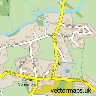
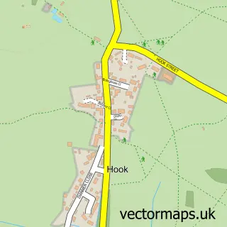
This Brinkworth street map is a detailed vector street map covering a 750m x 750m area. Select a larger area to create and download your own vector street map of Brinkworth.
The 750-metre map sample for Brinkworth covers 124 mapped buildings and approximately 5.0 km of road detail, of which 5 named roads are named. The immediate area includes 1 school, 2 pubs and 1 MOT station within 2 miles. The wider area around Brinkworth features 2 food and drink venues. To create a larger or custom map of Brinkworth, the map builder lets you define your own coverage area and download editable SVG, PDF and PNG files.
Create a larger editable map of Brinkworth
Choose any area you need and generate a high-quality vector map instantly. Perfect for print, planning, design, business and personal use.

This Brinkworth street map in Wiltshire is available as downloadable SVG, PDF and PNG map files, or as a printed map for planning, business, display, education, local information and design work. You can also create a larger custom map area using the map selector.
What this Brinkworth map sample shows
Brinkworth lies within Brinkworth Cp parish, part of Brinkworth ward in the Wiltshire local authority area. The postcode geography for this area includes the SN postcode area, the SN15 postcode district and the SN15 5 postcode sector. Residents fall under the Nhs Bath And North East Somerset, Swindon And Wiltshire Integrated Care Board for NHS services.
Local features near Brinkworth
Within 2 milesAmenities and services in and around Brinkworth.
Administrative and postcode information for Brinkworth
Brinkworth lies within Brinkworth Cp parish, part of Brinkworth ward in the Wiltshire local authority area. The postcode geography for this area includes the SN postcode area, the SN15 postcode district and the SN15 5 postcode sector. Residents fall under the Nhs Bath And North East Somerset, Swindon And Wiltshire Integrated Care Board for NHS services.
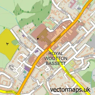
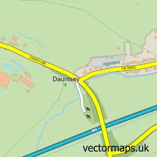
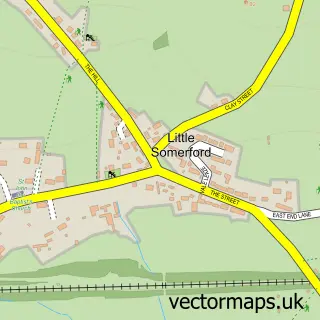
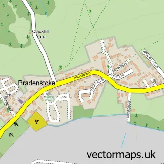
Nearby street map samples around Brinkworth

More street maps in Wiltshire
750 metre map area coverage
Boundary, postcode and point of interest information for the 750m x 750m rectangle centred on this sample map.
Boundaries containing map centre
Constituency: South Cotswolds Co Const
District: Wiltshire
Icb: NHS Bath and North East Somerset Swindon and Wiltshire ICB
Parish: Brinkworth CP
Police Force: wiltshire
Postcode District: SN15
Postcode Sector: SN15 5
Nearby boundaries intersecting sample
Postcode Sector: SN15 4
Postcode coverage
POI category counts
Church Cathedral: 2
Elementary School: 2
It Service And Computer Repair: 2
Pub: 2
Anglican Church: 1
Antique Store: 1
Automotive Repair: 1
Baby Gear And Furniture: 1
Community Center: 1
Farm: 1
Sample points of interest
- St Michael & All Angels, Brinkworth
- North Wilts Exporters
- DMA Motorcycles
- Securatot
- St Michael & All Angels Church
- Woodbridge Messy Church
- Brinkworth Village Hall
- Brinkworth Earl Danby C of E Primary School
- Brinkworth Earl Danby's Church of England Primary
- Braydon Side
- Three Crowns Brinkworth
- Nable-it
Create a larger editable map of Brinkworth
This sample shows only a 750 metre area. To create a larger map of Brinkworth, use our map builder to choose your own coverage area, add titles and download editable SVG, PDF and PNG files.
Create a custom map of Brinkworth