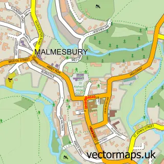
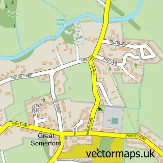
This Lea street map is a detailed vector street map covering a 750m x 750m area. Select a larger area to create and download your own vector street map of Lea.
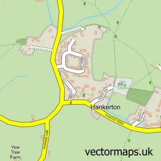
The 750-metre map sample for Lea covers 201 mapped buildings and approximately 11.3 km of road detail, of which 9 named roads are named. The immediate area includes 1 school, 1 GP surgery within 2 miles, 2 pubs and 3 MOT stations within 2 miles. The wider area around Lea features 2 food and drink venues and 1 campsite within 2 miles. To create a larger or custom map of Lea, the map builder lets you define your own coverage area and download editable SVG, PDF and PNG files.
Create a larger editable map of Lea
Choose any area you need and generate a high-quality vector map instantly. Perfect for print, planning, design, business and personal use.

This Lea street map in Wiltshire is available as downloadable SVG, PDF and PNG map files, or as a printed map for planning, business, display, education, local information and design work. You can also create a larger custom map area using the map selector.
What this Lea map sample shows
Lea lies within Lea And Cleverton Cp parish, part of Brinkworth ward in the Wiltshire local authority area. The postcode geography for this area includes the SN postcode area, the SN16 postcode district and the SN16 9 postcode sector. Residents fall under the Nhs Bath And North East Somerset, Swindon And Wiltshire Integrated Care Board for NHS services.
Local features near Lea
Within 2 milesAmenities and services in and around Lea.
Administrative and postcode information for Lea
Lea lies within Lea And Cleverton Cp parish, part of Brinkworth ward in the Wiltshire local authority area. The postcode geography for this area includes the SN postcode area, the SN16 postcode district and the SN16 9 postcode sector. Residents fall under the Nhs Bath And North East Somerset, Swindon And Wiltshire Integrated Care Board for NHS services.
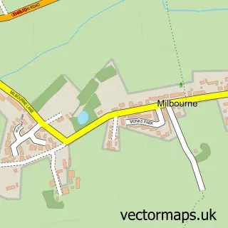
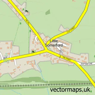
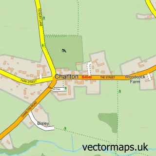
Nearby street map samples around Lea

More street maps in Wiltshire
750 metre map area coverage
Boundary, postcode and point of interest information for the 750m x 750m rectangle centred on this sample map.
Boundaries containing map centre
Constituency: South Cotswolds Co Const
District: Wiltshire
Icb: NHS Bath and North East Somerset Swindon and Wiltshire ICB
Parish: Lea and Cleverton CP
Police Force: wiltshire
Postcode District: SN16
Postcode Sector: SN16 9
Nearby boundaries intersecting sample
No additional intersecting boundaries found.
Postcode coverage
POI category counts
Pub: 2
Anglican Church: 1
Arts And Entertainment: 1
Automotive Services And Repair: 1
Baseball Field: 1
Church Cathedral: 1
Day Care Preschool: 1
Graphic Designer: 1
It Service And Computer Repair: 1
Mobile Phone Store: 1
Sample points of interest
- St Giles, Lea
- Portraits Pets Or People by Artist Mary Dodd
- Assess Management
- Jubilee Playing Field
- St Giles Lea Church
- Little Acers Preschool at Lea and Garsdon
- Portraits, Pets Or People
- Web Publications
- Coutts Communications
- The Rose And Crown, Lea
- The Rose and Crown
- Lea & Garsdon CE Primary School
Create a larger editable map of Lea
This sample shows only a 750 metre area. To create a larger map of Lea, use our map builder to choose your own coverage area, add titles and download editable SVG, PDF and PNG files.
Create a custom map of Lea