This Malmesbury street map is a detailed vector street map covering a 750m x 750m area. Select a larger area to create and download your own vector street map of Malmesbury.
The 750-metre map sample for Malmesbury covers 238 mapped buildings and approximately 12.2 km of road detail, of which 27 named roads are named. The immediate area includes 1 school, 1 GP surgery within 2 miles, 5 pubs and 2 MOT stations, with 3 within 2 miles. The wider area around Malmesbury features 7 tourism points of interest, 15 food and drink venues and 4 hotels. To create a larger or custom map of Malmesbury, the map builder lets you define your own coverage area and download editable SVG, PDF and PNG files.
Create a larger editable map of Malmesbury
Choose any area you need and generate a high-quality vector map instantly. Perfect for print, planning, design, business and personal use.

This Malmesbury street map in Wiltshire is available as downloadable SVG, PDF and PNG map files, or as a printed map for planning, business, display, education, local information and design work. You can also create a larger custom map area using the map selector.
What this Malmesbury map sample shows
Malmesbury lies within Malmesbury Cp parish, part of Malmesbury ward in the Wiltshire local authority area. The postcode geography for this area includes the SN postcode area, the SN16 postcode district and the SN16 0 postcode sector. Residents fall under the Nhs Bath And North East Somerset, Swindon And Wiltshire Integrated Care Board for NHS services.
Local features near Malmesbury
Within 2 milesAmenities and services in and around Malmesbury.
Administrative and postcode information for Malmesbury
Malmesbury lies within Malmesbury Cp parish, part of Malmesbury ward in the Wiltshire local authority area. The postcode geography for this area includes the SN postcode area, the SN16 postcode district and the SN16 0 postcode sector. Residents fall under the Nhs Bath And North East Somerset, Swindon And Wiltshire Integrated Care Board for NHS services.
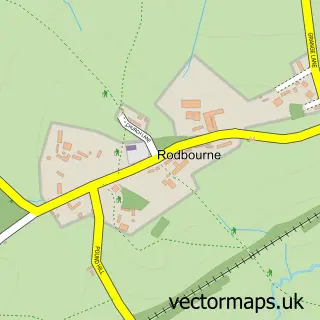
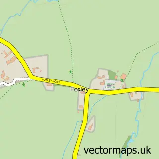
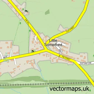
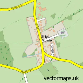
Nearby street map samples around Malmesbury

More street maps in Wiltshire
750 metre map area coverage
Boundary, postcode and point of interest information for the 750m x 750m rectangle centred on this sample map.
Boundaries containing map centre
Constituency: South Cotswolds Co Const
District: Wiltshire
Icb: NHS Bath and North East Somerset Swindon and Wiltshire ICB
Parish: Malmesbury CP
Police Force: wiltshire
Postcode District: SN16
Postcode Sector: SN16 9
Nearby boundaries intersecting sample
Parish: St. Paul Malmesbury Without CP
Postcode Sector: SN16 0
Postcode coverage
POI category counts
Beauty Salon: 7
Barber: 6
Professional Services: 6
Charity Organization: 5
Clothing Store: 5
Flowers And Gifts Shop: 5
Hair Salon: 5
Pub: 5
Restaurant: 5
Antique Store: 4
Sample points of interest
- Abbey House Manor
- Duncan Joyce & Associates
- June Rose Accountants Malmesbury
- The Oxford Practice
- Transitions Hypnotherapy
- Antiquary Antiques & Interiors
- Dorothy House
- Malmesbury Antiques
- Rust and Rot
- Knees Home & Electrical
- Caerbladon
- Maybe Art Studio
Create a larger editable map of Malmesbury
This sample shows only a 750 metre area. To create a larger map of Malmesbury, use our map builder to choose your own coverage area, add titles and download editable SVG, PDF and PNG files.
Create a custom map of Malmesbury