This Shipton Moyne street map is a detailed vector street map covering a 750m x 750m area. Select a larger area to create and download your own vector street map of Shipton Moyne.
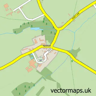
The 750-metre map sample for Shipton Moyne covers 82 mapped buildings and approximately 6.6 km of road detail, of which 4 named roads are named. The immediate area includes 2 pubs and 1 MOT station within 2 miles. The wider area around Shipton Moyne features 2 food and drink venues. To create a larger or custom map of Shipton Moyne, the map builder lets you define your own coverage area and download editable SVG, PDF and PNG files.
Create a larger editable map of Shipton Moyne
Choose any area you need and generate a high-quality vector map instantly. Perfect for print, planning, design, business and personal use.

This Shipton Moyne street map in Gloucestershire is available as downloadable SVG, PDF and PNG map files, or as a printed map for planning, business, display, education, local information and design work. You can also create a larger custom map area using the map selector.
What this Shipton Moyne map sample shows
Shipton Moyne lies within Shipton Moyne Cp parish, part of Tetbury East & Rural ward in the Cotswold District local authority area. The postcode geography for this area includes the GL postcode area, the GL8 postcode district and the GL8 8 postcode sector. Residents fall under the Nhs Gloucestershire Integrated Care Board for NHS services.
Local features near Shipton Moyne
Within 2 milesAmenities and services in and around Shipton Moyne.
Administrative and postcode information for Shipton Moyne
The local authority covering Shipton Moyne is Cotswold District, within the county of Gloucestershire. The settlement lies within Tetbury East & Rural ward and Shipton Moyne Cp civil parish. The GL8 postcode district and GL8 8 postcode sector serve the immediate area. NHS provision in the area is delivered through Gloucestershire Hospitals Nhs Foundation Trust.
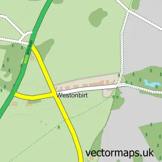
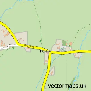
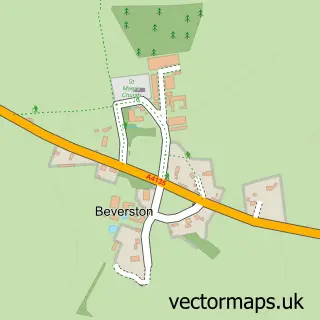
Nearby street map samples around Shipton Moyne
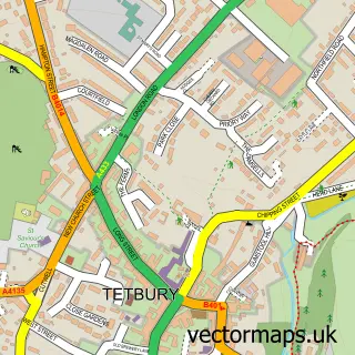

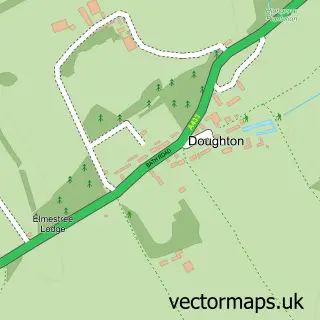
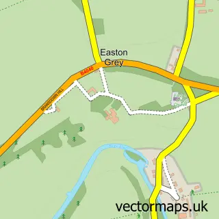
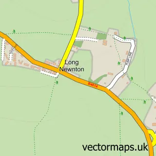
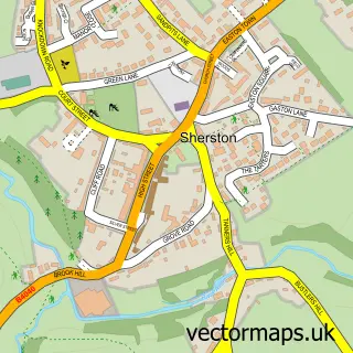
More street maps in Gloucestershire
750 metre map area coverage
Boundary, postcode and point of interest information for the 750m x 750m rectangle centred on this sample map.
Boundaries containing map centre
Constituency: South Cotswolds Co Const
County: Gloucestershire County
District: Cotswold District
Icb: NHS Gloucestershire ICB
Parish: Shipton Moyne CP
Police Force: gloucestershire
Postcode District: GL8
Postcode Sector: GL8 8
Ward: Tetbury East & Rural Ward
Nearby boundaries intersecting sample
No additional intersecting boundaries found.
Postcode coverage
POI category counts
Pub: 2
Web Designer: 2
Anglican Church: 1
Bed And Breakfast: 1
Church Cathedral: 1
Computer Coaching: 1
Contractor: 1
E Commerce Service: 1
It Support And Service: 1
Post Office: 1
Sample points of interest
- St John the Baptist
- Rose Cottage
- St John the Baptist Church
- Digital Marketing Ninjas
- James Curthoys
- White Media
- Wallingwells Consulting - IT Support - Computer Services
- Shipton Moyne Post Office
- Cat & Custard Pot Inn
- The Royal Oak Leighterton
- B T A Structural Design
- Cotswold Websites
Create a larger editable map of Shipton Moyne
This sample shows only a 750 metre area. To create a larger map of Shipton Moyne, use our map builder to choose your own coverage area, add titles and download editable SVG, PDF and PNG files.
Create a custom map of Shipton Moyne