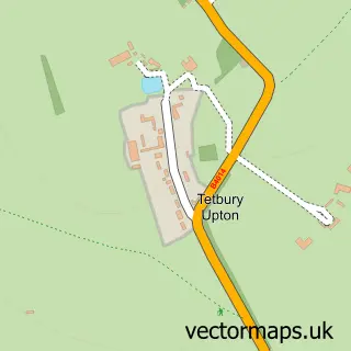
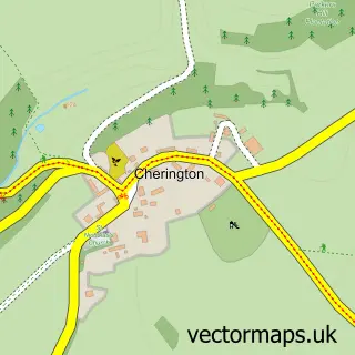
This Tetbury street map is a detailed vector street map covering a 750m x 750m area. Select a larger area to create and download your own vector street map of Tetbury.
The 750-metre map sample for Tetbury covers 395 mapped buildings and approximately 16.0 km of road detail, of which 35 named roads are named. The immediate area includes 5 pubs and 1 MOT station, with 3 within 2 miles. The wider area around Tetbury features 7 tourism points of interest, 11 food and drink venues and 7 hotels. To create a larger or custom map of Tetbury, the map builder lets you define your own coverage area and download editable SVG, PDF and PNG files.
Create a larger editable map of Tetbury
Choose any area you need and generate a high-quality vector map instantly. Perfect for print, planning, design, business and personal use.

This Tetbury street map in Gloucestershire is available as downloadable SVG, PDF and PNG map files, or as a printed map for planning, business, display, education, local information and design work. You can also create a larger custom map area using the map selector.
What this Tetbury map sample shows
Tetbury lies within Tetbury Cp parish, part of Tetbury Town ward in the Cotswold District local authority area. The postcode geography for this area includes the GL postcode area, the GL8 postcode district and the GL8 8 postcode sector. Residents fall under the Nhs Gloucestershire Integrated Care Board for NHS services.
Local features near Tetbury
Within 2 milesAmenities and services in and around Tetbury.
Administrative and postcode information for Tetbury
Tetbury lies within Tetbury Cp parish, part of Tetbury Town ward in the Cotswold District local authority area. The postcode geography for this area includes the GL postcode area, the GL8 postcode district and the GL8 8 postcode sector. Residents fall under the Nhs Gloucestershire Integrated Care Board for NHS services.
Nearby street map samples around Tetbury

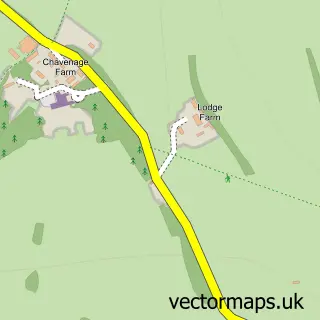
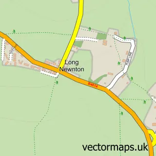
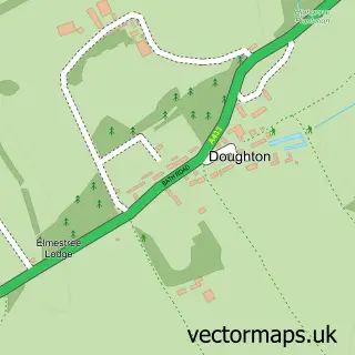
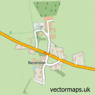
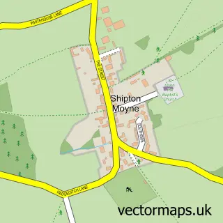
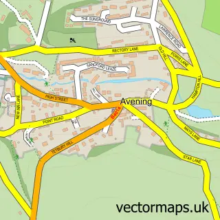
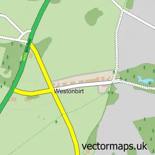
More street maps in Gloucestershire
750 metre map area coverage
Boundary, postcode and point of interest information for the 750m x 750m rectangle centred on this sample map.
Boundaries containing map centre
Constituency: South Cotswolds Co Const
County: Gloucestershire County
District: Cotswold District
Icb: NHS Gloucestershire ICB
Parish: Tetbury CP
Police Force: gloucestershire
Postcode District: GL8
Postcode Sector: GL8 8
Ward: Tetbury East & Rural Ward
Nearby boundaries intersecting sample
Parish: Long Newnton CP
Ward: Tetbury Town Ward, Tetbury with Upton Ward
Postcode coverage
POI category counts
Antique Store: 30
Clothing Store: 9
Art Gallery: 7
Hotel: 7
Retail: 7
Building Supply Store: 6
Charity Organization: 5
Hair Salon: 5
Pub: 5
Cafe: 4
Sample points of interest
- Bernard Atkins Ltd.
- Morgwn Atkins Chartered Accountants
- Topping & Van Gerwen
- Clear Communications
- Elliott Properties Bath Ltd.
- AD & PS Antiques
- Amy Perry Antiques
- Artique Central Asian Interiors and Carpets
- Ball & Claw Antiques
- Brownrigg
- Brownrigg Decorative Antiques
- Chester Drawers Antiques
Create a larger editable map of Tetbury
This sample shows only a 750 metre area. To create a larger map of Tetbury, use our map builder to choose your own coverage area, add titles and download editable SVG, PDF and PNG files.
Create a custom map of Tetbury