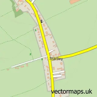
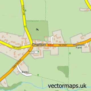
This Little Somerford street map is a detailed vector street map covering a 750m x 750m area. Select a larger area to create and download your own vector street map of Little Somerford.
The 750-metre map sample for Little Somerford covers 134 mapped buildings and approximately 8.8 km of road detail, of which 5 named roads are named. The immediate area includes 1 pub. The wider area around Little Somerford features 1 tourism point of interest and 1 food and drink venue. To create a larger or custom map of Little Somerford, the map builder lets you define your own coverage area and download editable SVG, PDF and PNG files.
Create a larger editable map of Little Somerford
Choose any area you need and generate a high-quality vector map instantly. Perfect for print, planning, design, business and personal use.

This Little Somerford street map in Wiltshire is available as downloadable SVG, PDF and PNG map files, or as a printed map for planning, business, display, education, local information and design work. You can also create a larger custom map area using the map selector.
What this Little Somerford map sample shows
Little Somerford lies within Little Somerford Cp parish, part of Brinkworth ward in the Wiltshire local authority area. The postcode geography for this area includes the SN postcode area, the SN15 postcode district and the SN15 5 postcode sector. Residents fall under the Nhs Bath And North East Somerset, Swindon And Wiltshire Integrated Care Board for NHS services.
Local features near Little Somerford
Within 2 milesAmenities and services in and around Little Somerford.
Administrative and postcode information for Little Somerford
The local authority covering Little Somerford is Wiltshire, within the county of Wiltshire. The settlement lies within Brinkworth ward and Little Somerford Cp civil parish. The SN15 postcode district and SN15 5 postcode sector serve the immediate area. NHS provision in the area is delivered through Great Western Hospitals Nhs Foundation Trust.
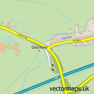
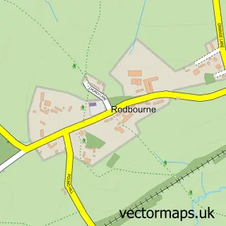
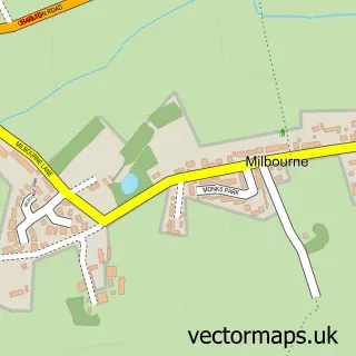
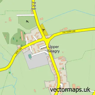
Nearby street map samples around Little Somerford

More street maps in Wiltshire
750 metre map area coverage
Boundary, postcode and point of interest information for the 750m x 750m rectangle centred on this sample map.
Boundaries containing map centre
Constituency: South Cotswolds Co Const
District: Wiltshire
Icb: NHS Bath and North East Somerset Swindon and Wiltshire ICB
Parish: Little Somerford CP
Police Force: wiltshire
Postcode District: SN15
Postcode Sector: SN15 5
Nearby boundaries intersecting sample
No additional intersecting boundaries found.
Postcode coverage
POI category counts
Advertising Agency: 1
Anglican Church: 1
Beauty Salon: 1
Car Dealer: 1
Community Center: 1
Landmark And Historical Building: 1
Metal Supplier: 1
Pub: 1
Train Station: 1
Sample points of interest
- Promotional Package Workshop
- St John the Baptist, Little Somerford
- Bespoke Beauty
- West Country Triumph
- Little Somerford Village Hall
- Little Somerford
- Hector Cole Iron Work
- Somerford Arms
- Little Somerford railway station
Create a larger editable map of Little Somerford
This sample shows only a 750 metre area. To create a larger map of Little Somerford, use our map builder to choose your own coverage area, add titles and download editable SVG, PDF and PNG files.
Create a custom map of Little Somerford