This Bradenstoke street map is a detailed vector street map covering a 750m x 750m area. Select a larger area to create and download your own vector street map of Bradenstoke.
The 750-metre map sample for Bradenstoke covers 190 mapped buildings and approximately 9.7 km of road detail, of which 9 named roads are named. The immediate area includes 1 pub and 2 MOT stations within 2 miles. The wider area around Bradenstoke features 1 food and drink venue. To create a larger or custom map of Bradenstoke, the map builder lets you define your own coverage area and download editable SVG, PDF and PNG files.
Create a larger editable map of Bradenstoke
Choose any area you need and generate a high-quality vector map instantly. Perfect for print, planning, design, business and personal use.

This Bradenstoke street map in Wiltshire is available as downloadable SVG, PDF and PNG map files, or as a printed map for planning, business, display, education, local information and design work. You can also create a larger custom map area using the map selector.
What this Bradenstoke map sample shows
Bradenstoke lies within Lyneham And Bradenstoke Cp parish, part of Lyneham ward in the Wiltshire local authority area. The postcode geography for this area includes the SN postcode area, the SN15 postcode district and the SN15 4 postcode sector. Residents fall under the Nhs Bath And North East Somerset, Swindon And Wiltshire Integrated Care Board for NHS services.
Local features near Bradenstoke
Within 2 milesAmenities and services in and around Bradenstoke.
Administrative and postcode information for Bradenstoke
The local authority covering Bradenstoke is Wiltshire, within the county of Wiltshire. The settlement lies within Lyneham ward and Lyneham And Bradenstoke Cp civil parish. The SN15 postcode district and SN15 4 postcode sector serve the immediate area. NHS provision in the area is delivered through Great Western Hospitals Nhs Foundation Trust.
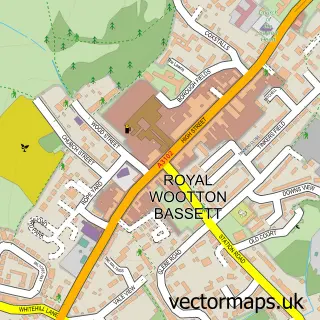
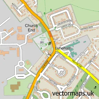
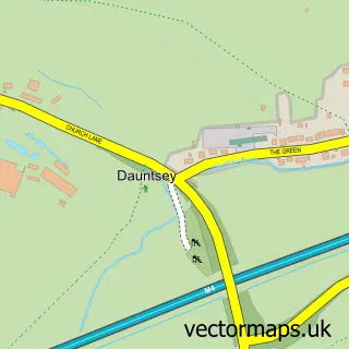
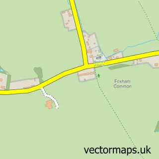
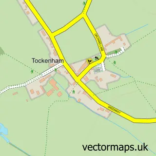
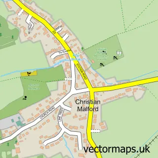
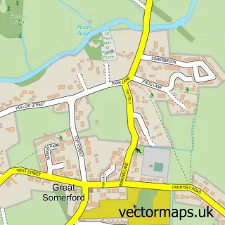
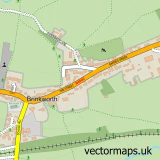
Nearby street map samples around Bradenstoke


More street maps in Wiltshire
750 metre map area coverage
Boundary, postcode and point of interest information for the 750m x 750m rectangle centred on this sample map.
Boundaries containing map centre
Constituency: Chippenham Co Const
District: Wiltshire
Icb: NHS Bath and North East Somerset Swindon and Wiltshire ICB
Parish: Lyneham and Bradenstoke CP
Police Force: wiltshire
Postcode District: SN15
Postcode Sector: SN15 4
Nearby boundaries intersecting sample
No additional intersecting boundaries found.
Postcode coverage
POI category counts
Beauty And Spa: 2
Nail Salon: 2
Anglican Church: 1
Building Supply Store: 1
Business To Business Services: 1
Marketing Agency: 1
Mobile Home Park: 1
Photographer: 1
Pub: 1
Real Estate Agent: 1
Sample points of interest
- Bradenstoke: St Mary
- CHM Aesthetics
- The Ferns Beauty Co.
- Ace Property House Maintenance
- Manufacturing Business Excellence
- Clearwater
- Bungalow Park Home Estate
- Nail the Trend
- So Polished Nails
- Big Cat Photography
- The Cross Keys Inn
- Land Locked Ltd.
Create a larger editable map of Bradenstoke
This sample shows only a 750 metre area. To create a larger map of Bradenstoke, use our map builder to choose your own coverage area, add titles and download editable SVG, PDF and PNG files.
Create a custom map of Bradenstoke