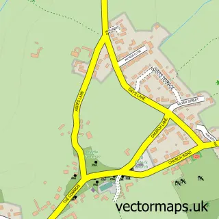
This Christian Malford street map is a detailed vector street map covering a 750m x 750m area. Select a larger area to create and download your own vector street map of Christian Malford.
The 750-metre map sample for Christian Malford covers 220 mapped buildings and approximately 7.8 km of road detail, of which 6 named roads are named. The immediate area includes 1 school and 1 pub. The wider area around Christian Malford features 2 food and drink venues. To create a larger or custom map of Christian Malford, the map builder lets you define your own coverage area and download editable SVG, PDF and PNG files.
Create a larger editable map of Christian Malford
Choose any area you need and generate a high-quality vector map instantly. Perfect for print, planning, design, business and personal use.

This Christian Malford street map in Wiltshire is available as downloadable SVG, PDF and PNG map files, or as a printed map for planning, business, display, education, local information and design work. You can also create a larger custom map area using the map selector.
What this Christian Malford map sample shows
Christian Malford lies within Christian Malford Cp parish, part of Kington ward in the Wiltshire local authority area. The postcode geography for this area includes the SN postcode area, the SN15 postcode district and the SN15 4 postcode sector. Residents fall under the Nhs Bath And North East Somerset, Swindon And Wiltshire Integrated Care Board for NHS services.
Local features near Christian Malford
Within 2 milesAmenities and services in and around Christian Malford.
Administrative and postcode information for Christian Malford
The local authority covering Christian Malford is Wiltshire, within the county of Wiltshire. The settlement lies within Kington ward and Christian Malford Cp civil parish. The SN15 postcode district and SN15 4 postcode sector serve the immediate area. NHS provision in the area is delivered through Great Western Hospitals Nhs Foundation Trust.
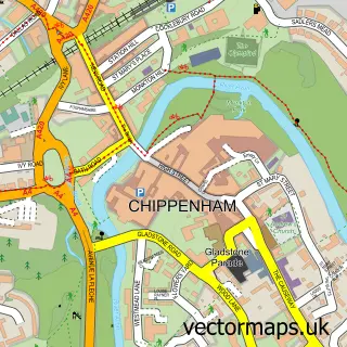
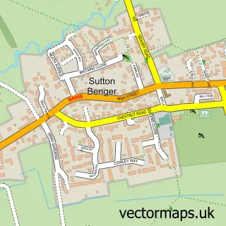
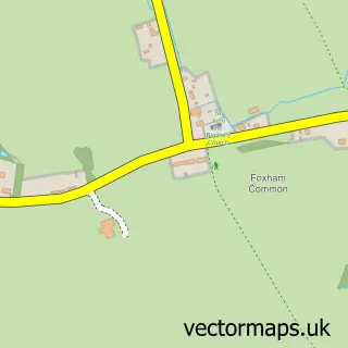
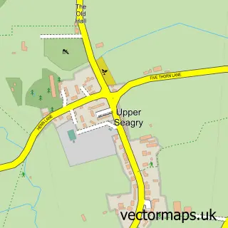
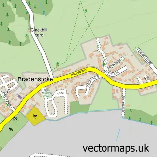
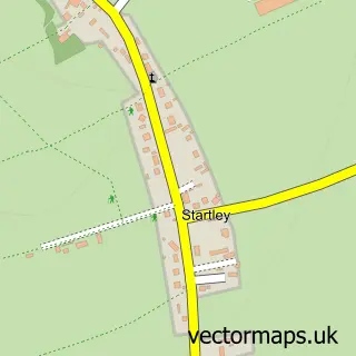
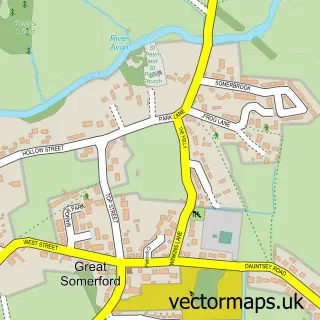
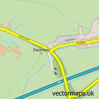
Nearby street map samples around Christian Malford

More street maps in Wiltshire
750 metre map area coverage
Boundary, postcode and point of interest information for the 750m x 750m rectangle centred on this sample map.
Boundaries containing map centre
Constituency: South Cotswolds Co Const
District: Wiltshire
Icb: NHS Bath and North East Somerset Swindon and Wiltshire ICB
Parish: Christian Malford CP
Police Force: wiltshire
Postcode District: SN15
Postcode Sector: SN15 4
Nearby boundaries intersecting sample
No additional intersecting boundaries found.
Postcode coverage
POI category counts
Baseball Field: 1
Building Supply Store: 1
Cafe: 1
Driving School: 1
Elementary School: 1
Grocery Store: 1
Preschool: 1
Pub: 1
Shipping Center: 1
Town Hall: 1
Sample points of interest
- Christian Malford Recreation Ground
- Inex Property Services
- The Sun Cafe, Christian Malford
- Malford Drive School of Motoring
- Christian Malford C Of E Primary School
- Christian Malford Stores
- Acorns Pre-school
- The Rising sun
- Christian Malford Post Office
- Christian Malford Village Hall
Create a larger editable map of Christian Malford
This sample shows only a 750 metre area. To create a larger map of Christian Malford, use our map builder to choose your own coverage area, add titles and download editable SVG, PDF and PNG files.
Create a custom map of Christian Malford