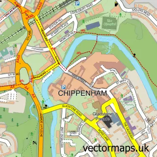
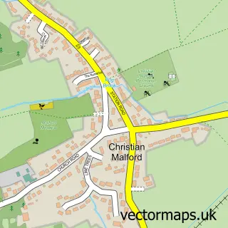
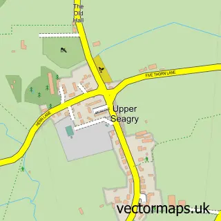
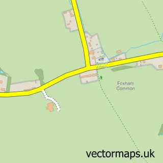
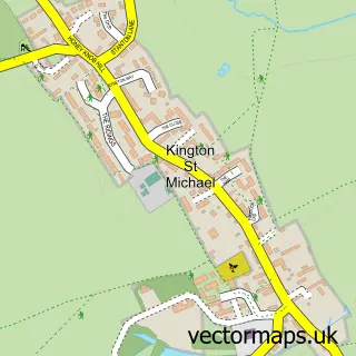
This Sutton Benger street map is a detailed vector street map covering a 750m x 750m area. Select a larger area to create and download your own vector street map of Sutton Benger.
The 750-metre map sample for Sutton Benger covers 355 mapped buildings and approximately 10.0 km of road detail, of which 20 named roads are named. The immediate area includes 1 school, 2 pubs and 1 MOT station within 2 miles. The wider area around Sutton Benger features 1 tourism point of interest, 2 food and drink venues and 1 hotel. To create a larger or custom map of Sutton Benger, the map builder lets you define your own coverage area and download editable SVG, PDF and PNG files.
Create a larger editable map of Sutton Benger
Choose any area you need and generate a high-quality vector map instantly. Perfect for print, planning, design, business and personal use.

This Sutton Benger street map in Wiltshire is available as downloadable SVG, PDF and PNG map files, or as a printed map for planning, business, display, education, local information and design work. You can also create a larger custom map area using the map selector.
What this Sutton Benger map sample shows
Sutton Benger lies within Sutton Benger Cp parish, part of Kington ward in the Wiltshire local authority area. The postcode geography for this area includes the SN postcode area, the SN15 postcode district and the SN15 4 postcode sector. Residents fall under the Nhs Bath And North East Somerset, Swindon And Wiltshire Integrated Care Board for NHS services.
Local features near Sutton Benger
Within 2 milesAmenities and services in and around Sutton Benger.
Administrative and postcode information for Sutton Benger
The local authority covering Sutton Benger is Wiltshire, within the county of Wiltshire. The settlement lies within Kington ward and Sutton Benger Cp civil parish. The SN15 postcode district and SN15 4 postcode sector serve the immediate area. NHS provision in the area is delivered through Royal United Hospitals Bath Nhs Foundation Trust.
Nearby street map samples around Sutton Benger

More street maps in Wiltshire
750 metre map area coverage
Boundary, postcode and point of interest information for the 750m x 750m rectangle centred on this sample map.
Boundaries containing map centre
Constituency: South Cotswolds Co Const
District: Wiltshire
Icb: NHS Bath and North East Somerset Swindon and Wiltshire ICB
Parish: Sutton Benger CP
Police Force: wiltshire
Postcode District: SN15
Postcode Sector: SN15 4
Nearby boundaries intersecting sample
No additional intersecting boundaries found.
Postcode coverage
POI category counts
Accountant: 3
Business Consulting: 2
Doctor: 2
Preschool: 2
Pub: 2
Anglican Church: 1
Bar: 1
Beauty And Spa: 1
Beauty Salon: 1
Carpenter: 1
Sample points of interest
- Bowen Accountants Ltd
- Bowen Accountants Ltd.
- Collier-Marsh Accountancy
- All Saints, Sutton Benger
- Sutton Benger Beer and Sausage Festival
- Sally Beauty UK - Chippenham
- Hazelwood Beauty Salon
- Ltms
- Praxis Consultants
- Jeff Leonard
- The Canape Kitchen
- All Saints' Church
Create a larger editable map of Sutton Benger
This sample shows only a 750 metre area. To create a larger map of Sutton Benger, use our map builder to choose your own coverage area, add titles and download editable SVG, PDF and PNG files.
Create a custom map of Sutton Benger