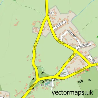
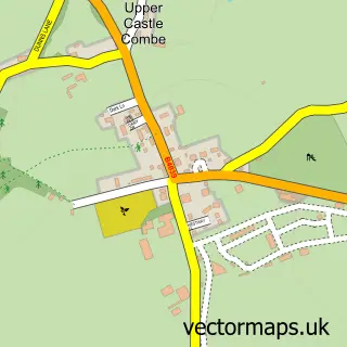
This Kington St Michael street map is a detailed vector street map covering a 750m x 750m area. Select a larger area to create and download your own vector street map of Kington St Michael.
The 750-metre map sample for Kington St Michael covers 200 mapped buildings and approximately 8.3 km of road detail, of which 11 named roads are named. The immediate area includes 1 school, 1 pub and 3 MOT stations within 2 miles. The wider area around Kington St Michael features 2 tourism points of interest, 3 food and drink venues and 2 hotels. To create a larger or custom map of Kington St Michael, the map builder lets you define your own coverage area and download editable SVG, PDF and PNG files.
Create a larger editable map of Kington St Michael
Choose any area you need and generate a high-quality vector map instantly. Perfect for print, planning, design, business and personal use.

This Kington St Michael street map in Wiltshire is available as downloadable SVG, PDF and PNG map files, or as a printed map for planning, business, display, education, local information and design work. You can also create a larger custom map area using the map selector.
What this Kington St Michael map sample shows
Kington St Michael lies within Kington St. Michael Cp parish, part of Kington ward in the Wiltshire local authority area. The postcode geography for this area includes the SN postcode area, the SN14 postcode district and the SN14 6 postcode sector. Residents fall under the Nhs Bath And North East Somerset, Swindon And Wiltshire Integrated Care Board for NHS services.
Local features near Kington St Michael
Within 2 milesAmenities and services in and around Kington St Michael.
Administrative and postcode information for Kington St Michael
Kington St Michael lies within Kington St. Michael Cp parish, part of Kington ward in the Wiltshire local authority area. The postcode geography for this area includes the SN postcode area, the SN14 postcode district and the SN14 6 postcode sector. Residents fall under the Nhs Bath And North East Somerset, Swindon And Wiltshire Integrated Care Board for NHS services.
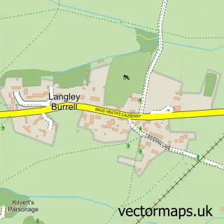
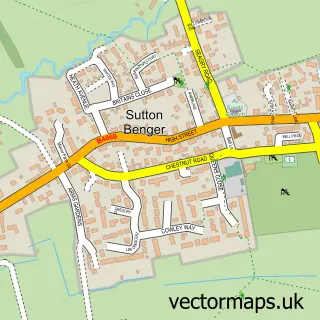
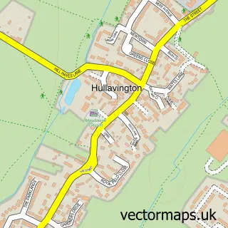
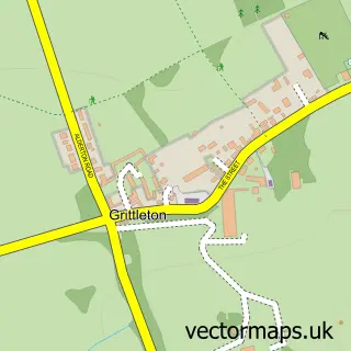
Nearby street map samples around Kington St Michael

More street maps in Wiltshire
750 metre map area coverage
Boundary, postcode and point of interest information for the 750m x 750m rectangle centred on this sample map.
Boundaries containing map centre
Constituency: South Cotswolds Co Const
District: Wiltshire
Icb: NHS Bath and North East Somerset Swindon and Wiltshire ICB
Parish: Kington St. Michael CP
Police Force: wiltshire
Postcode District: SN14
Postcode Sector: SN14 6
Nearby boundaries intersecting sample
No additional intersecting boundaries found.
Postcode coverage
POI category counts
Cafe: 2
Hotel: 2
Amusement Park: 1
Anglican Church: 1
Bus Station: 1
Community Services Non Profits: 1
Driving School: 1
Elementary School: 1
Fitness Trainer: 1
Gas Station: 1
Sample points of interest
- Waldo Van Dungen
- St Michael and All Angels
- Swindon Bus Station
- Folly Row Cafe
- Kington Cafe
- Kington St Michael Village Shop Limited
- Kington School Of Motoring
- Kington St Michael Church of England Primary School
- Maxwell Coaching
- Esso
- Kington Kids
- Kington St Michael school
Create a larger editable map of Kington St Michael
This sample shows only a 750 metre area. To create a larger map of Kington St Michael, use our map builder to choose your own coverage area, add titles and download editable SVG, PDF and PNG files.
Create a custom map of Kington St Michael