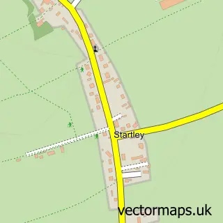
This Hullavington street map is a detailed vector street map covering a 750m x 750m area. Select a larger area to create and download your own vector street map of Hullavington.
The 750-metre map sample for Hullavington covers 317 mapped buildings and approximately 8.5 km of road detail, of which 17 named roads are named. The immediate area includes 1 school, 1 pub and 1 MOT station. The wider area around Hullavington features 1 food and drink venue. To create a larger or custom map of Hullavington, the map builder lets you define your own coverage area and download editable SVG, PDF and PNG files.
Create a larger editable map of Hullavington
Choose any area you need and generate a high-quality vector map instantly. Perfect for print, planning, design, business and personal use.

This Hullavington street map in Wiltshire is available as downloadable SVG, PDF and PNG map files, or as a printed map for planning, business, display, education, local information and design work. You can also create a larger custom map area using the map selector.
What this Hullavington map sample shows
Hullavington lies within Hullavington Cp parish, part of By Brook ward in the Wiltshire local authority area. The postcode geography for this area includes the SN postcode area, the SN14 postcode district and the SN14 6 postcode sector. Residents fall under the Nhs Bath And North East Somerset, Swindon And Wiltshire Integrated Care Board for NHS services.
Local features near Hullavington
Within 2 milesAmenities and services in and around Hullavington.
Administrative and postcode information for Hullavington
The local authority covering Hullavington is Wiltshire, within the county of Wiltshire. The settlement lies within By Brook ward and Hullavington Cp civil parish. The SN14 postcode district and SN14 6 postcode sector serve the immediate area. NHS provision in the area is delivered through Great Western Hospitals Nhs Foundation Trust.
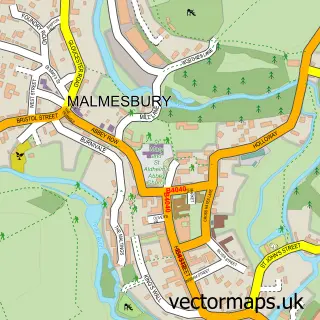
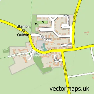
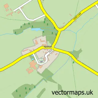
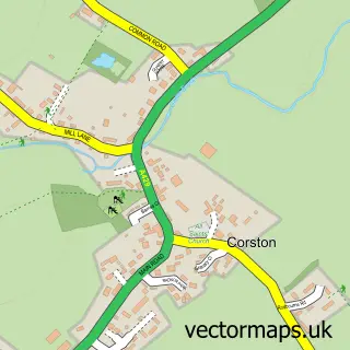
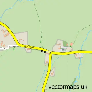
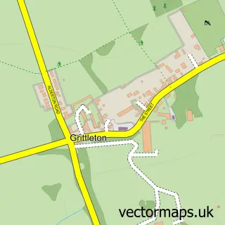
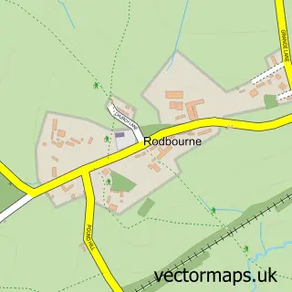
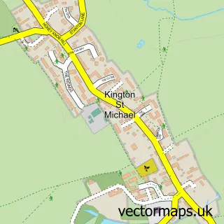
Nearby street map samples around Hullavington

More street maps in Wiltshire
750 metre map area coverage
Boundary, postcode and point of interest information for the 750m x 750m rectangle centred on this sample map.
Boundaries containing map centre
Constituency: South Cotswolds Co Const
District: Wiltshire
Icb: NHS Bath and North East Somerset Swindon and Wiltshire ICB
Parish: Hullavington CP
Police Force: wiltshire
Postcode District: SN14
Postcode Sector: SN14 6
Nearby boundaries intersecting sample
No additional intersecting boundaries found.
Postcode coverage
POI category counts
Automotive Repair: 2
Convenience Store: 2
Pet Store: 2
Shipping Center: 2
Advertising Agency: 1
Anglican Church: 1
Arts And Crafts: 1
Arts And Entertainment: 1
Balloon Services: 1
Bed And Breakfast: 1
Sample points of interest
- Bartlett P R
- St Mary Magdalene Hullavington
- One Stop Morris Shop
- Anna Durrant Photography
- Cooks Auto Body Repairs
- Hullavington Garage
- The Little Balloon Company
- The Manor Farm Chippenham
- Sharpes Windows & Doors
- The Heat Is On Heating Company Ltd
- The Bridge Management Development
- Edge Digital
Create a larger editable map of Hullavington
This sample shows only a 750 metre area. To create a larger map of Hullavington, use our map builder to choose your own coverage area, add titles and download editable SVG, PDF and PNG files.
Create a custom map of Hullavington