This Royal Wootton Bassett street map is a detailed vector street map covering a 750m x 750m area. Select a larger area to create and download your own vector street map of Royal Wootton Bassett.
The 750-metre map sample for Royal Wootton Bassett covers 388 mapped buildings and approximately 13.3 km of road detail, of which 23 named roads are named. The immediate area includes 1 school, 2 GP surgeries, 9 pubs and 2 MOT stations, with 5 within 2 miles. The wider area around Royal Wootton Bassett features 5 tourism points of interest, 19 food and drink venues and 1 hotel. To create a larger or custom map of Royal Wootton Bassett, the map builder lets you define your own coverage area and download editable SVG, PDF and PNG files.
Create a larger editable map of Royal Wootton Bassett
Choose any area you need and generate a high-quality vector map instantly. Perfect for print, planning, design, business and personal use.

This Royal Wootton Bassett street map in Wiltshire is available as downloadable SVG, PDF and PNG map files, or as a printed map for planning, business, display, education, local information and design work. You can also create a larger custom map area using the map selector.
What this Royal Wootton Bassett map sample shows
Royal Wootton Bassett lies within Royal Wootton Bassett Cp parish, part of Royal Wootton Bassett North ward in the Wiltshire local authority area. The postcode geography for this area includes the SN postcode area, the SN4 postcode district and the SN4 8 postcode sector. Residents fall under the Nhs Bath And North East Somerset, Swindon And Wiltshire Integrated Care Board for NHS services.
Local features near Royal Wootton Bassett
Within 2 milesAmenities and services in and around Royal Wootton Bassett.
Administrative and postcode information for Royal Wootton Bassett
The local authority covering Royal Wootton Bassett is Wiltshire, within the county of Wiltshire. The settlement lies within Royal Wootton Bassett North ward and Royal Wootton Bassett Cp civil parish. The SN4 postcode district and SN4 8 postcode sector serve the immediate area. NHS provision in the area is delivered through Great Western Hospitals Nhs Foundation Trust.
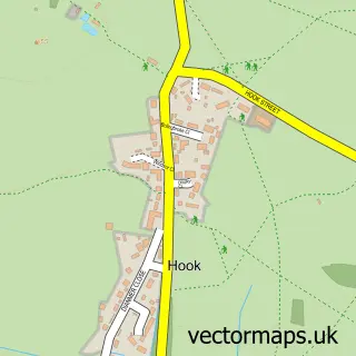
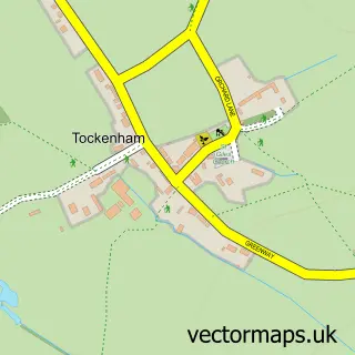
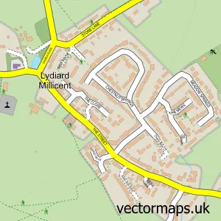
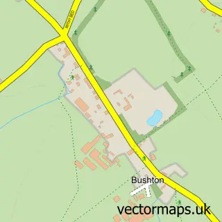
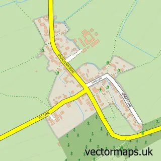
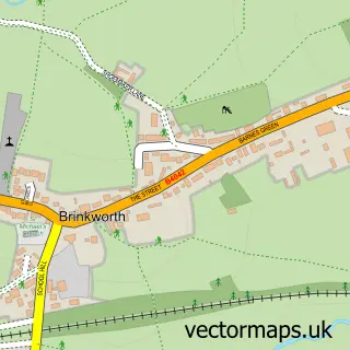
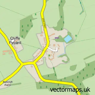
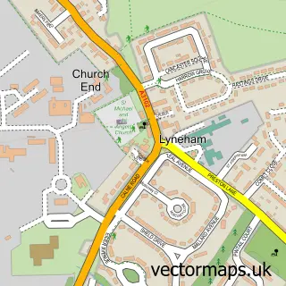
Nearby street map samples around Royal Wootton Bassett

More street maps in Wiltshire
750 metre map area coverage
Boundary, postcode and point of interest information for the 750m x 750m rectangle centred on this sample map.
Boundaries containing map centre
Constituency: Chippenham Co Const
District: Wiltshire
Icb: NHS Bath and North East Somerset Swindon and Wiltshire ICB
Parish: Royal Wootton Bassett CP
Police Force: wiltshire
Postcode District: SN4
Postcode Sector: SN4 7
Nearby boundaries intersecting sample
Postcode Sector: SN4 8
Postcode coverage
POI category counts
Pub: 9
Banks: 8
Dentist: 8
Antique Store: 7
Flowers And Gifts Shop: 6
Professional Services: 6
Barber: 5
Cafe: 5
Contractor: 5
Electrician: 5
Sample points of interest
- Haydn J Williams
- aka Bookkeeping & Payroll
- AtLive
- In-house Research and Training
- Make it Sticky Advertising
- Mark Allen Copywriter
- HVM AGRI - Dezwaef UK
- Best of Health Therapy Centre
- Brunskill D D O
- The Natural Health Clinic
- St Bartholomew & All Saints, Royal Wootton Bassett
- St Bartholomew's Church
Create a larger editable map of Royal Wootton Bassett
This sample shows only a 750 metre area. To create a larger map of Royal Wootton Bassett, use our map builder to choose your own coverage area, add titles and download editable SVG, PDF and PNG files.
Create a custom map of Royal Wootton Bassett