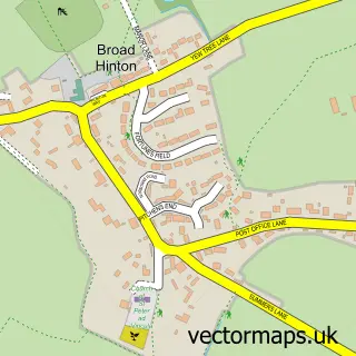
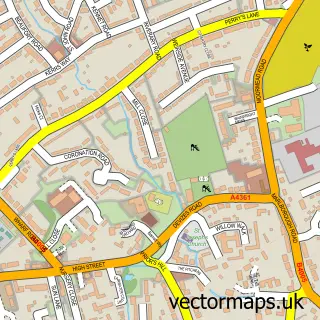
This Broad Town street map is a detailed vector street map covering a 750m x 750m area. Select a larger area to create and download your own vector street map of Broad Town.
The 750-metre map sample for Broad Town covers 141 mapped buildings and approximately 5.3 km of road detail, of which 4 named roads are named. The immediate area includes 1 MOT station within 2 miles. To create a larger or custom map of Broad Town, the map builder lets you define your own coverage area and download editable SVG, PDF and PNG files.
Create a larger editable map of Broad Town
Choose any area you need and generate a high-quality vector map instantly. Perfect for print, planning, design, business and personal use.

This Broad Town street map in Wiltshire is available as downloadable SVG, PDF and PNG map files, or as a printed map for planning, business, display, education, local information and design work. You can also create a larger custom map area using the map selector.
What this Broad Town map sample shows
Broad Town lies within Broad Town Cp parish, part of Royal Wootton Bassett East ward in the Wiltshire local authority area. The postcode geography for this area includes the SN postcode area, the SN4 postcode district and the SN4 7 postcode sector. Residents fall under the Nhs Bath And North East Somerset, Swindon And Wiltshire Integrated Care Board for NHS services.
Local features near Broad Town
Within 2 milesAmenities and services in and around Broad Town.
Administrative and postcode information for Broad Town
The local authority covering Broad Town is Wiltshire, within the county of Wiltshire. The settlement lies within Royal Wootton Bassett East ward and Broad Town Cp civil parish. The SN4 postcode district and SN4 7 postcode sector serve the immediate area. NHS provision in the area is delivered through Great Western Hospitals Nhs Foundation Trust.
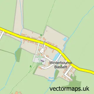
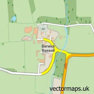
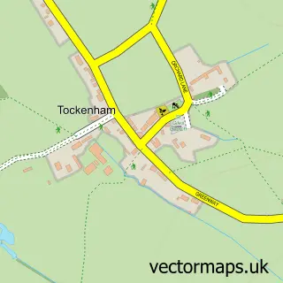
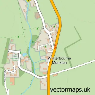
Nearby street map samples around Broad Town

More street maps in Wiltshire
750 metre map area coverage
Boundary, postcode and point of interest information for the 750m x 750m rectangle centred on this sample map.
Boundaries containing map centre
Constituency: Chippenham Co Const
District: Wiltshire
Icb: NHS Bath and North East Somerset Swindon and Wiltshire ICB
Parish: Broad Town CP
Police Force: wiltshire
Postcode District: SN4
Postcode Sector: SN4 7
Nearby boundaries intersecting sample
Parish: Clyffe Pypard CP
Postcode coverage
POI category counts
Arts And Entertainment: 1
Driving School: 1
Electrician: 1
Elementary School: 1
Engineering Services: 1
Financial Service: 1
Kitchen Remodeling: 1
Preschool: 1
Secretarial Services: 1
Sports Club And League: 1
Sample points of interest
- Broadtown
- Haitch Driver Training
- Newcroft Electrics
- Broad Town Church of England Primary School
- Approved Pat Services Ltd.
- Independent Asset Finance
- Grange Kitchens
- Broad Town Pre-School
- Louise Girl Friday
- Centimany Fitness
Create a larger editable map of Broad Town
This sample shows only a 750 metre area. To create a larger map of Broad Town, use our map builder to choose your own coverage area, add titles and download editable SVG, PDF and PNG files.
Create a custom map of Broad Town