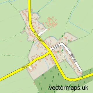
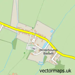
This Wroughton street map is a detailed vector street map covering a 750m x 750m area. Select a larger area to create and download your own vector street map of Wroughton.
The 750-metre map sample for Wroughton covers 508 mapped buildings and approximately 17.3 km of road detail, of which 36 named roads are named. The immediate area includes 1 GP surgery, with 2 within 2 miles, 4 pubs and 2 MOT stations, with 4 within 2 miles. The wider area around Wroughton features 1 tourism point of interest, 11 food and drink venues and 1 hotel. To create a larger or custom map of Wroughton, the map builder lets you define your own coverage area and download editable SVG, PDF and PNG files.
Create a larger editable map of Wroughton
Choose any area you need and generate a high-quality vector map instantly. Perfect for print, planning, design, business and personal use.

This Wroughton street map in Wiltshire is available as downloadable SVG, PDF and PNG map files, or as a printed map for planning, business, display, education, local information and design work. You can also create a larger custom map area using the map selector.
What this Wroughton map sample shows
Wroughton lies within Wroughton Cp parish, part of Wroughton And Wichelstowe ward in the Swindon (B) local authority area. The postcode geography for this area includes the SN postcode area, the SN4 postcode district and the SN4 0 postcode sector. Residents fall under the Nhs Bath And North East Somerset, Swindon And Wiltshire Integrated Care Board for NHS services.
Local features near Wroughton
Within 2 milesAmenities and services in and around Wroughton.
Administrative and postcode information for Wroughton
Wroughton lies within Wroughton Cp parish, part of Wroughton And Wichelstowe ward in the Swindon (B) local authority area. The postcode geography for this area includes the SN postcode area, the SN4 postcode district and the SN4 0 postcode sector. Residents fall under the Nhs Bath And North East Somerset, Swindon And Wiltshire Integrated Care Board for NHS services.
Nearby street map samples around Wroughton

More street maps in Wiltshire
750 metre map area coverage
Boundary, postcode and point of interest information for the 750m x 750m rectangle centred on this sample map.
Boundaries containing map centre
Constituency: East Wiltshire Co Const
District: Swindon (B)
Icb: NHS Bath and North East Somerset Swindon and Wiltshire ICB
Parish: Wroughton CP
Police Force: wiltshire
Postcode District: SN4
Postcode Sector: SN4 9
Ward: Wroughton and Wichelstowe Ward
Nearby boundaries intersecting sample
Postcode Sector: SN4 0
Postcode coverage
POI category counts
Beauty Salon: 5
Convenience Store: 5
Chiropractor: 4
Pub: 4
Cafe: 3
Car Dealer: 3
Hair Salon: 3
Hospital: 3
Medical Center: 3
Professional Services: 3
Sample points of interest
- 1UP BRAND
- Church Hall, Priors Hill, Wroughton
- Harry Garrett Court
- Haskins Garage
- Unipart Car Care Centre
- Three Tuns
- Lion Turkish hair saloon
- WroughtonTurkish Barber
- Beau Ideal
- Beau Ideal
- Cloudninewroughton
- Glow Beauty swindon
Create a larger editable map of Wroughton
This sample shows only a 750 metre area. To create a larger map of Wroughton, use our map builder to choose your own coverage area, add titles and download editable SVG, PDF and PNG files.
Create a custom map of Wroughton