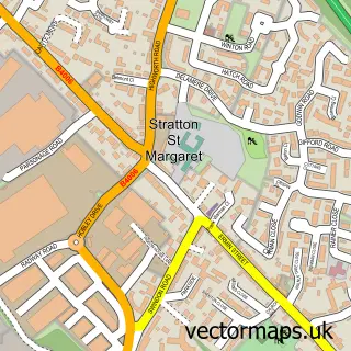
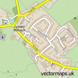
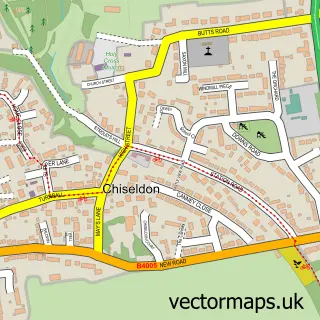
This Swindon street map is a detailed vector street map covering a 750m x 750m area. Select a larger area to create and download your own vector street map of Swindon.
The 750-metre map sample for Swindon covers 158 mapped buildings and approximately 27.9 km of road detail, of which 76 named roads are named. The immediate area includes 2 GP surgeries, with 11 within 2 miles, 14 pubs and 2 MOT stations, with 46 within 2 miles. The wider area around Swindon features 8 tourism points of interest, 52 food and drink venues and 13 hotels. To create a larger or custom map of Swindon, the map builder lets you define your own coverage area and download editable SVG, PDF and PNG files.
Create a larger editable map of Swindon
Choose any area you need and generate a high-quality vector map instantly. Perfect for print, planning, design, business and personal use.

This Swindon street map in Wiltshire is available as downloadable SVG, PDF and PNG map files, or as a printed map for planning, business, display, education, local information and design work. You can also create a larger custom map area using the map selector.
What this Swindon map sample shows
Swindon lies within Central Swindon South Cp parish, part of Walcot And Park North ward in the Swindon (B) local authority area. The postcode geography for this area includes the SN postcode area, the SN3 postcode district and the SN3 1 postcode sector. Residents fall under the Nhs Bath And North East Somerset, Swindon And Wiltshire Integrated Care Board for NHS services.
Local features near Swindon
Within 2 milesAmenities and services in and around Swindon.
Administrative and postcode information for Swindon
Swindon lies within Central Swindon South Cp parish, part of Walcot And Park North ward in the Swindon (B) local authority area. The postcode geography for this area includes the SN postcode area, the SN3 postcode district and the SN3 1 postcode sector. Residents fall under the Nhs Bath And North East Somerset, Swindon And Wiltshire Integrated Care Board for NHS services.
Nearby street map samples around Swindon

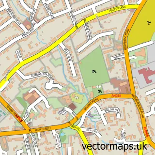
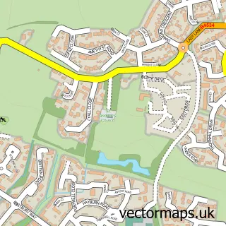
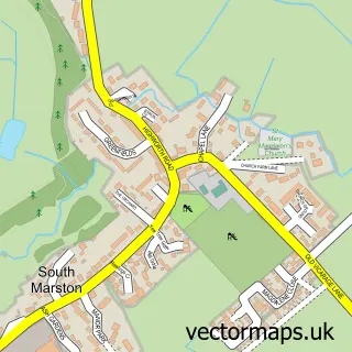
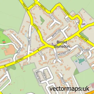
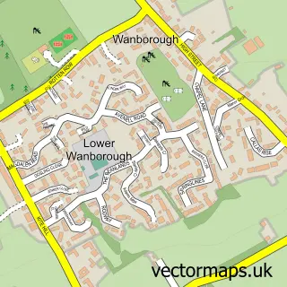
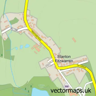
More street maps in Wiltshire
750 metre map area coverage
Boundary, postcode and point of interest information for the 750m x 750m rectangle centred on this sample map.
Boundaries containing map centre
Constituency: Swindon South Boro Const
District: Swindon (B)
Icb: NHS Bath and North East Somerset Swindon and Wiltshire ICB
Parish: South Swindon CP
Police Force: wiltshire
Postcode District: SN1
Postcode Sector: SN1 1
Ward: Central Ward
Nearby boundaries intersecting sample
Constituency: Swindon North Co Const
Parish: Central Swindon North CP
Postcode District: SN2
Postcode Sector: SN1 2, SN1 3, SN1 5, SN2 1, SN2 2
Ward: Eastcott Ward, Mannington and Western Ward, Rodbourne Cheney Ward
Postcode coverage
POI category counts
Employment Agencies: 52
Hair Salon: 30
Clothing Store: 29
Real Estate Agent: 24
Beauty Salon: 22
Professional Services: 19
Mobile Phone Store: 18
Tattoo And Piercing: 18
Charity Organization: 17
Jewelry Store: 17
Sample points of interest
- Alexanders
- Deb Accountants & Payroll
- Taxtful Accounting
- Acucare
- Eastern Natural Care
- Julia Bliss Acupuncture And Scenar Therapy
- Swindon Acupuncture and Naturopathy
- Bravedog
- Hot Pepper Design
- International Management Systems Marketing
- Motor Search
- Vox PR
Create a larger editable map of Swindon
This sample shows only a 750 metre area. To create a larger map of Swindon, use our map builder to choose your own coverage area, add titles and download editable SVG, PDF and PNG files.
Create a custom map of Swindon