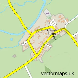
This Stanton Fitzwarren street map is a detailed vector street map covering a 750m x 750m area. Select a larger area to create and download your own vector street map of Stanton Fitzwarren.
The 750-metre map sample for Stanton Fitzwarren covers 97 mapped buildings and approximately 5.3 km of road detail, of which 4 named roads are named. The immediate area includes 2 GP surgeries within 2 miles and 5 MOT stations within 2 miles. The wider area around Stanton Fitzwarren features 2 food and drink venues and 1 hotel. To create a larger or custom map of Stanton Fitzwarren, the map builder lets you define your own coverage area and download editable SVG, PDF and PNG files.
Create a larger editable map of Stanton Fitzwarren
Choose any area you need and generate a high-quality vector map instantly. Perfect for print, planning, design, business and personal use.

This Stanton Fitzwarren street map in Wiltshire is available as downloadable SVG, PDF and PNG map files, or as a printed map for planning, business, display, education, local information and design work. You can also create a larger custom map area using the map selector.
What this Stanton Fitzwarren map sample shows
Stanton Fitzwarren lies within Stanton Fitzwarren Cp parish, part of Blunsdon And Highworth ward in the Swindon (B) local authority area. The postcode geography for this area includes the SN postcode area, the SN6 postcode district and the SN6 7 postcode sector. Residents fall under the Nhs Bath And North East Somerset, Swindon And Wiltshire Integrated Care Board for NHS services.
Local features near Stanton Fitzwarren
Within 2 milesAmenities and services in and around Stanton Fitzwarren.
Administrative and postcode information for Stanton Fitzwarren
Stanton Fitzwarren lies within Stanton Fitzwarren Cp parish, part of Blunsdon And Highworth ward in the Swindon (B) local authority area. The postcode geography for this area includes the SN postcode area, the SN6 postcode district and the SN6 7 postcode sector. Residents fall under the Nhs Bath And North East Somerset, Swindon And Wiltshire Integrated Care Board for NHS services.
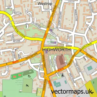
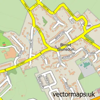
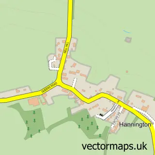
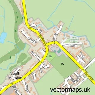
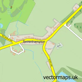
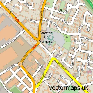
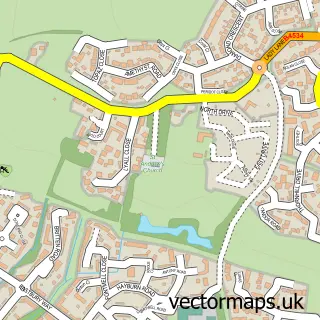
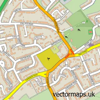
Nearby street map samples around Stanton Fitzwarren

More street maps in Wiltshire
750 metre map area coverage
Boundary, postcode and point of interest information for the 750m x 750m rectangle centred on this sample map.
Boundaries containing map centre
Constituency: Swindon North Co Const
District: Swindon (B)
Icb: NHS Bath and North East Somerset Swindon and Wiltshire ICB
Parish: Stanton Fitzwarren CP
Police Force: wiltshire
Postcode District: SN6
Postcode Sector: SN6 7
Ward: Blunsdon and Highworth Ward
Nearby boundaries intersecting sample
No additional intersecting boundaries found.
Postcode coverage
POI category counts
Restaurant: 2
American Restaurant: 1
Anglican Church: 1
Auto Upholstery: 1
Building Contractor: 1
Building Supply Store: 1
Farm: 1
Hotel: 1
Real Estate Agent: 1
Sample points of interest
- The Rosemary Restaurant
- St Leonard
- The Curtain Workshop
- Pro-Vert
- Willow Gardening Services
- South Farm
- Stanton House Hotel
- Bower Mapson
- Mt Fuji Restaurant
- The Rosmary Resturant
Create a larger editable map of Stanton Fitzwarren
This sample shows only a 750 metre area. To create a larger map of Stanton Fitzwarren, use our map builder to choose your own coverage area, add titles and download editable SVG, PDF and PNG files.
Create a custom map of Stanton Fitzwarren