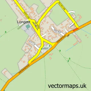
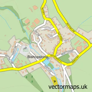
This Shrivenham street map is a detailed vector street map covering a 750m x 750m area. Select a larger area to create and download your own vector street map of Shrivenham.
The 750-metre map sample for Shrivenham covers 498 mapped buildings and approximately 18.5 km of road detail, of which 40 named roads are named. The immediate area includes 1 GP surgery within 2 miles and 1 MOT station, with 2 within 2 miles. The wider area around Shrivenham features 1 tourism point of interest. To create a larger or custom map of Shrivenham, the map builder lets you define your own coverage area and download editable SVG, PDF and PNG files.
Create a larger editable map of Shrivenham
Choose any area you need and generate a high-quality vector map instantly. Perfect for print, planning, design, business and personal use.

This Shrivenham street map in Oxfordshire is available as downloadable SVG, PDF and PNG map files, or as a printed map for planning, business, display, education, local information and design work. You can also create a larger custom map area using the map selector.
What this Shrivenham map sample shows
Shrivenham lies within Shrivenham Cp parish, part of Watchfield & Shrivenham ward in the Vale Of White Horse District local authority area. The postcode geography for this area includes the SN postcode area, the SN6 postcode district and the SN6 8 postcode sector. Residents fall under the Nhs Bath And North East Somerset, Swindon And Wiltshire Integrated Care Board for NHS services.
Local features near Shrivenham
Within 2 milesAmenities and services in and around Shrivenham.
Administrative and postcode information for Shrivenham
Shrivenham lies within Shrivenham Cp parish, part of Watchfield & Shrivenham ward in the Vale Of White Horse District local authority area. The postcode geography for this area includes the SN postcode area, the SN6 postcode district and the SN6 8 postcode sector. Residents fall under the Nhs Bath And North East Somerset, Swindon And Wiltshire Integrated Care Board for NHS services.
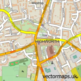
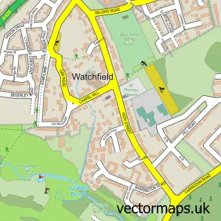
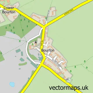
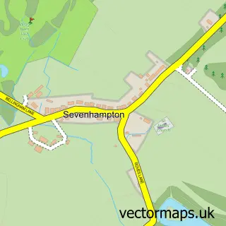
Nearby street map samples around Shrivenham

More street maps in Oxfordshire
750 metre map area coverage
Boundary, postcode and point of interest information for the 750m x 750m rectangle centred on this sample map.
Boundaries containing map centre
Constituency: Witney Co Const
County: Oxfordshire County
District: Vale of White Horse District
Icb: NHS Bath and North East Somerset Swindon and Wiltshire ICB
Parish: Shrivenham CP
Police Force: thames valley
Postcode District: SN6
Postcode Sector: SN6 8
Ward: Watchfield & Shrivenham Ward
Nearby boundaries intersecting sample
No additional intersecting boundaries found.
Postcode coverage
POI category counts
Flowers And Gifts Shop: 3
Hair Salon: 2
Active Life: 1
Advertising Agency: 1
Amateur Sports Team: 1
Amusement Park: 1
Bank Credit Union: 1
Bar: 1
Bowling Alley: 1
Building Supply Store: 1
Sample points of interest
- MF Martial Arts Shrivenham & South London
- D B Designs
- Shrivenham FC
- Charlbury Farm Stables
- Lloyds Bank
- Old Man Jake’s Bar
- Shrivenham Bowls Club
- Edward Bays
- Minerva Property Management Ltd.
- Shrivenham Methodist Church
- KJ Building
- QA Contractors
Create a larger editable map of Shrivenham
This sample shows only a 750 metre area. To create a larger map of Shrivenham, use our map builder to choose your own coverage area, add titles and download editable SVG, PDF and PNG files.
Create a custom map of Shrivenham