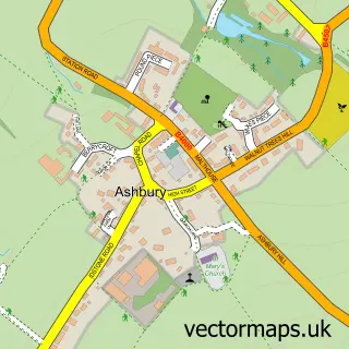
This Bishopstone street map is a detailed vector street map covering a 750m x 750m area. Select a larger area to create and download your own vector street map of Bishopstone.
The 750-metre map sample for Bishopstone covers 195 mapped buildings and approximately 11.6 km of road detail, of which 15 named roads are named. The immediate area includes 1 school and 1 pub. The wider area around Bishopstone features 1 food and drink venue. To create a larger or custom map of Bishopstone, the map builder lets you define your own coverage area and download editable SVG, PDF and PNG files.
Create a larger editable map of Bishopstone
Choose any area you need and generate a high-quality vector map instantly. Perfect for print, planning, design, business and personal use.

This Bishopstone street map in Wiltshire is available as downloadable SVG, PDF and PNG map files, or as a printed map for planning, business, display, education, local information and design work. You can also create a larger custom map area using the map selector.
What this Bishopstone map sample shows
Bishopstone lies within Bishopstone Cp parish, part of Ridgeway ward in the Swindon (B) local authority area. The postcode geography for this area includes the SN postcode area, the SN6 postcode district and the SN6 8 postcode sector. Residents fall under the Nhs Bath And North East Somerset, Swindon And Wiltshire Integrated Care Board for NHS services.
Local features near Bishopstone
Within 2 milesAmenities and services in and around Bishopstone.
Administrative and postcode information for Bishopstone
Bishopstone lies within Bishopstone Cp parish, part of Ridgeway ward in the Swindon (B) local authority area. The postcode geography for this area includes the SN postcode area, the SN6 postcode district and the SN6 8 postcode sector. Residents fall under the Nhs Bath And North East Somerset, Swindon And Wiltshire Integrated Care Board for NHS services.
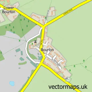
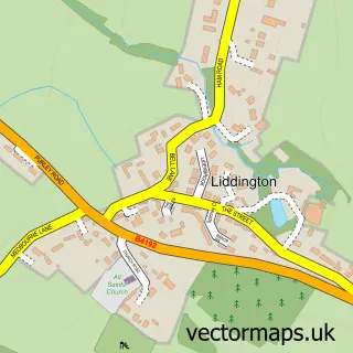
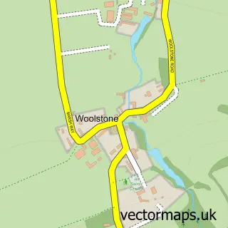
Nearby street map samples around Bishopstone

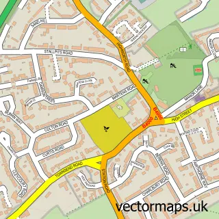
More street maps in Wiltshire
750 metre map area coverage
Boundary, postcode and point of interest information for the 750m x 750m rectangle centred on this sample map.
Boundaries containing map centre
Constituency: East Wiltshire Co Const
District: Swindon (B)
Icb: NHS Bath and North East Somerset Swindon and Wiltshire ICB
Parish: Bishopstone CP
Police Force: wiltshire
Postcode District: SN6
Postcode Sector: SN6 8
Ward: Ridgeway Ward
Nearby boundaries intersecting sample
No additional intersecting boundaries found.
Postcode coverage
POI category counts
Elementary School: 2
Professional Services: 2
Anglican Church: 1
Art Gallery: 1
Arts And Crafts: 1
Bakery: 1
Bed And Breakfast: 1
Business Management Services: 1
Church Cathedral: 1
Farm: 1
Sample points of interest
- St Mary the Virgin
- Bishopstone Pottery
- Ushma Sargeant Art
- Tiers of Joy
- Cheney Thatch
- Post Office-Ashbury
- St Mary's Church
- Alfresco Childcare And Forest Pre-school
- Bishopstone Church of England Primary School
- Eastbrook Farm
- Bishopstone Village Hall
- Innovation IT Support
Create a larger editable map of Bishopstone
This sample shows only a 750 metre area. To create a larger map of Bishopstone, use our map builder to choose your own coverage area, add titles and download editable SVG, PDF and PNG files.
Create a custom map of Bishopstone