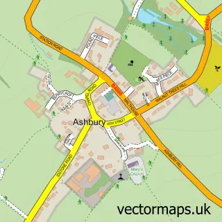
This Wanborough street map is a detailed vector street map covering a 750m x 750m area. Select a larger area to create and download your own vector street map of Wanborough.
The 750-metre map sample for Wanborough covers 378 mapped buildings and approximately 12.4 km of road detail, of which 31 named roads are named. The immediate area includes 1 school, 1 GP surgery within 2 miles, 2 pubs and 2 MOT stations within 2 miles. The wider area around Wanborough features 1 tourism point of interest, 2 food and drink venues and 1 hotel. To create a larger or custom map of Wanborough, the map builder lets you define your own coverage area and download editable SVG, PDF and PNG files.
Create a larger editable map of Wanborough
Choose any area you need and generate a high-quality vector map instantly. Perfect for print, planning, design, business and personal use.

This Wanborough street map in Wiltshire is available as downloadable SVG, PDF and PNG map files, or as a printed map for planning, business, display, education, local information and design work. You can also create a larger custom map area using the map selector.
What this Wanborough map sample shows
Wanborough lies within Wanborough Cp parish, part of Ridgeway ward in the Swindon (B) local authority area. The postcode geography for this area includes the SN postcode area, the SN4 postcode district and the SN4 0 postcode sector. Residents fall under the Nhs Bath And North East Somerset, Swindon And Wiltshire Integrated Care Board for NHS services.
Local features near Wanborough
Within 2 milesAmenities and services in and around Wanborough.
Administrative and postcode information for Wanborough
Wanborough lies within Wanborough Cp parish, part of Ridgeway ward in the Swindon (B) local authority area. The postcode geography for this area includes the SN postcode area, the SN4 postcode district and the SN4 0 postcode sector. Residents fall under the Nhs Bath And North East Somerset, Swindon And Wiltshire Integrated Care Board for NHS services.
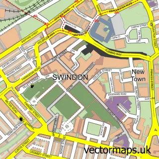
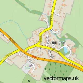
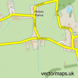
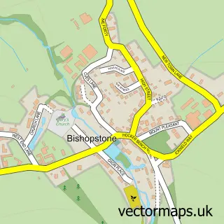
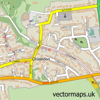
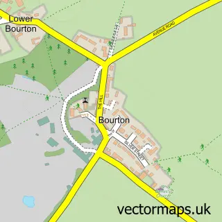
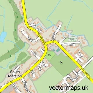
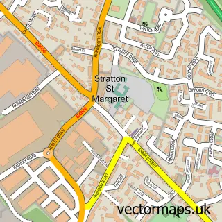
Nearby street map samples around Wanborough

More street maps in Wiltshire
750 metre map area coverage
Boundary, postcode and point of interest information for the 750m x 750m rectangle centred on this sample map.
Boundaries containing map centre
Constituency: East Wiltshire Co Const
District: Swindon (B)
Icb: NHS Bath and North East Somerset Swindon and Wiltshire ICB
Parish: Wanborough CP
Police Force: wiltshire
Postcode District: SN4
Postcode Sector: SN4 0
Ward: Ridgeway Ward
Nearby boundaries intersecting sample
No additional intersecting boundaries found.
Postcode coverage
POI category counts
Bar: 2
Pub: 2
Acupuncture: 1
Advertising Agency: 1
Appliance Store: 1
Attractions And Activities: 1
Building Supply Store: 1
Cabin: 1
Caterer: 1
Community Center: 1
Sample points of interest
- Mark Ackland
- H S M
- Chimserv
- Hooper's Field
- The Harrow
- Whitbread Group
- Greensleeves Lawn Treatment
- The Garden Apartment
- Wolf Catering Ltd
- Wanborough Village Hall
- C.r Property Improvements
- Wiltshire Family Therapy
Create a larger editable map of Wanborough
This sample shows only a 750 metre area. To create a larger map of Wanborough, use our map builder to choose your own coverage area, add titles and download editable SVG, PDF and PNG files.
Create a custom map of Wanborough