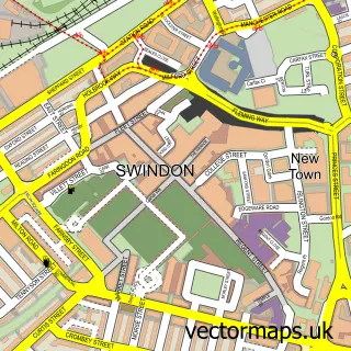
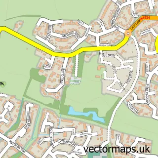
This Stratton St Margaret street map is a detailed vector street map covering a 750m x 750m area. Select a larger area to create and download your own vector street map of Stratton St Margaret.
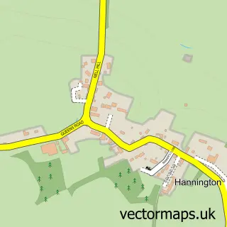
The 750-metre map sample for Stratton St Margaret covers 471 mapped buildings and approximately 18.9 km of road detail, of which 32 named roads are named. The immediate area includes 1 school, 1 GP surgery, with 3 within 2 miles, 2 pubs and 2 MOT stations, with 30 within 2 miles. The wider area around Stratton St Margaret features 1 tourism point of interest and 5 food and drink venues. To create a larger or custom map of Stratton St Margaret, the map builder lets you define your own coverage area and download editable SVG, PDF and PNG files.
Create a larger editable map of Stratton St Margaret
Choose any area you need and generate a high-quality vector map instantly. Perfect for print, planning, design, business and personal use.

This Stratton St Margaret street map in Wiltshire is available as downloadable SVG, PDF and PNG map files, or as a printed map for planning, business, display, education, local information and design work. You can also create a larger custom map area using the map selector.
What this Stratton St Margaret map sample shows
Stratton St Margaret lies within Stratton St. Margaret Cp parish, part of St Margaret And South Marston ward in the Swindon (B) local authority area. The postcode geography for this area includes the SN postcode area, the SN3 postcode district and the SN3 4 postcode sector. Residents fall under the Nhs Bath And North East Somerset, Swindon And Wiltshire Integrated Care Board for NHS services.
Local features near Stratton St Margaret
Within 2 milesAmenities and services in and around Stratton St Margaret.
Administrative and postcode information for Stratton St Margaret
Stratton St Margaret lies within Stratton St. Margaret Cp parish, part of St Margaret And South Marston ward in the Swindon (B) local authority area. The postcode geography for this area includes the SN postcode area, the SN3 postcode district and the SN3 4 postcode sector. Residents fall under the Nhs Bath And North East Somerset, Swindon And Wiltshire Integrated Care Board for NHS services.
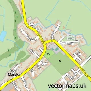
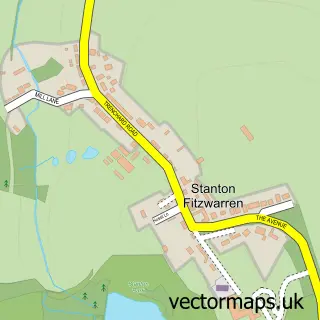
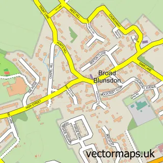
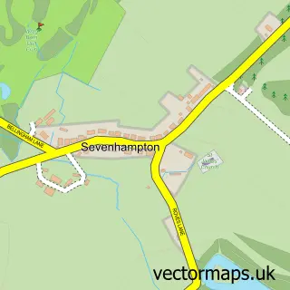
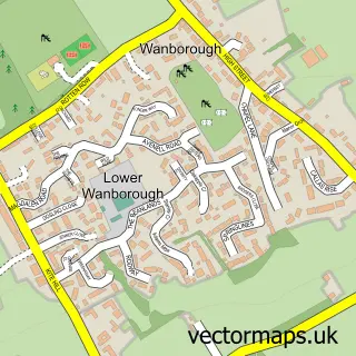
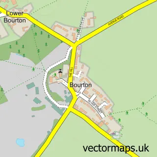
Nearby street map samples around Stratton St Margaret

More street maps in Wiltshire
750 metre map area coverage
Boundary, postcode and point of interest information for the 750m x 750m rectangle centred on this sample map.
Boundaries containing map centre
Constituency: Swindon North Co Const
District: Swindon (B)
Icb: NHS Bath and North East Somerset Swindon and Wiltshire ICB
Parish: Stratton St. Margaret CP
Police Force: wiltshire
Postcode District: SN3
Postcode Sector: SN3 4
Ward: St. Margaret and South Marston Ward
Nearby boundaries intersecting sample
No additional intersecting boundaries found.
Postcode coverage
POI category counts
Furniture Store: 7
Printing Services: 7
Automotive Repair: 5
Beauty Salon: 4
Hardware Store: 4
Bed And Breakfast: 3
Hair Salon: 3
Professional Services: 3
Real Estate Agent: 3
Tire Dealer And Repair: 3
Sample points of interest
- Shrivenham Equestrian Centre
- Dance Direct
- Autoglass Swindon
- Unique Glass Solutions
- GSF Car Parts
- GSF Car Parts
- Autoglass
- Dellers Garage
- Halfords Autocentres
- Unipart Car Care Centre
- etyres Reading
- Greggs
Create a larger editable map of Stratton St Margaret
This sample shows only a 750 metre area. To create a larger map of Stratton St Margaret, use our map builder to choose your own coverage area, add titles and download editable SVG, PDF and PNG files.
Create a custom map of Stratton St Margaret