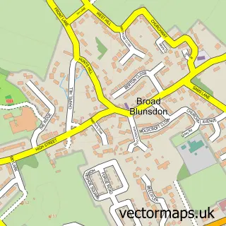
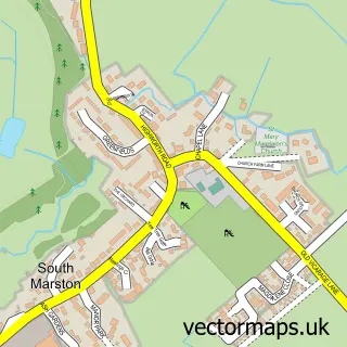
This Blunsdon St Andrew street map is a detailed vector street map covering a 750m x 750m area. Select a larger area to create and download your own vector street map of Blunsdon St Andrew.
The 750-metre map sample for Blunsdon St Andrew covers 466 mapped buildings and approximately 17.9 km of road detail, of which 47 named roads are named. The immediate area includes 1 school, 2 GP surgeries within 2 miles and 3 MOT stations within 2 miles. The wider area around Blunsdon St Andrew features 2 tourism points of interest, 1 food and drink venue and 1 hotel. To create a larger or custom map of Blunsdon St Andrew, the map builder lets you define your own coverage area and download editable SVG, PDF and PNG files.
Create a larger editable map of Blunsdon St Andrew
Choose any area you need and generate a high-quality vector map instantly. Perfect for print, planning, design, business and personal use.

This Blunsdon St Andrew street map in Wiltshire is available as downloadable SVG, PDF and PNG map files, or as a printed map for planning, business, display, education, local information and design work. You can also create a larger custom map area using the map selector.
What this Blunsdon St Andrew map sample shows
Blunsdon St Andrew lies within St. Andrews Cp parish, part of St Andrews ward in the Swindon (B) local authority area. The postcode geography for this area includes the SN postcode area, the SN25 postcode district and the SN25 4 postcode sector. Residents fall under the Nhs Bath And North East Somerset, Swindon And Wiltshire Integrated Care Board for NHS services.
Local features near Blunsdon St Andrew
Within 2 milesAmenities and services in and around Blunsdon St Andrew.
Administrative and postcode information for Blunsdon St Andrew
The local authority covering Blunsdon St Andrew is Swindon (B), within the county of Wiltshire. The settlement lies within St Andrews ward and St. Andrews Cp civil parish. The SN25 postcode district and SN25 4 postcode sector serve the immediate area. NHS provision in the area is delivered through Great Western Hospitals Nhs Foundation Trust.
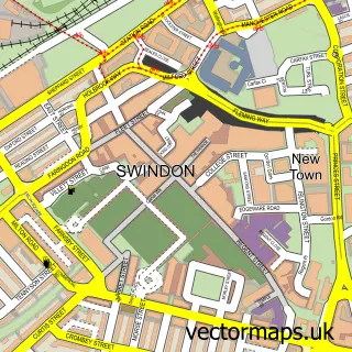
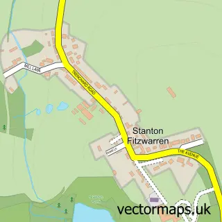
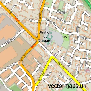
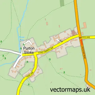
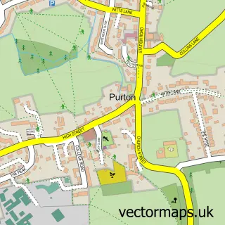
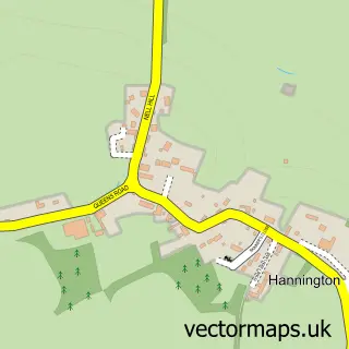
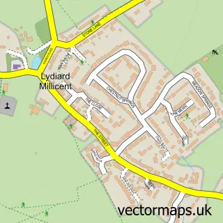
Nearby street map samples around Blunsdon St Andrew

More street maps in Wiltshire
750 metre map area coverage
Boundary, postcode and point of interest information for the 750m x 750m rectangle centred on this sample map.
Boundaries containing map centre
Constituency: Swindon North Co Const
District: Swindon (B)
Icb: NHS Bath and North East Somerset Swindon and Wiltshire ICB
Parish: St. Andrews CP
Police Force: wiltshire
Postcode District: SN25
Postcode Sector: SN25 2
Ward: St. Andrews Ward
Nearby boundaries intersecting sample
Postcode Sector: SN25 4
Postcode coverage
POI category counts
Anglican Church: 2
Bakery: 2
Beauty Salon: 2
Building Supply Store: 2
Driving School: 2
Park: 2
Professional Services: 2
Web Designer: 2
Accommodation: 1
Alternative Medicine: 1
Sample points of interest
- Redhouse, Swindon
- Body & Mind Temple
- St Andrew's
- St Andrews Church
- Bella Cakes by Sharon
- Rabbity Whisk
- Auburn Beauty Studio
- Platinum Hair at Home
- The Luxe Collection
- M J Plumbing & Heating
- Unicorn Oxon Ltd
- Perfect Clean
Create a larger editable map of Blunsdon St Andrew
This sample shows only a 750 metre area. To create a larger map of Blunsdon St Andrew, use our map builder to choose your own coverage area, add titles and download editable SVG, PDF and PNG files.
Create a custom map of Blunsdon St Andrew