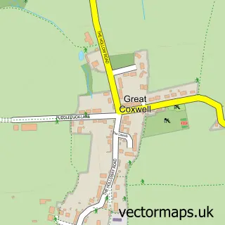
This Longcot street map is a detailed vector street map covering a 750m x 750m area. Select a larger area to create and download your own vector street map of Longcot.
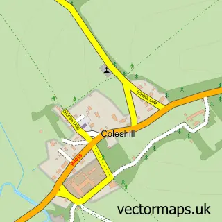
The 750-metre map sample for Longcot covers 184 mapped buildings and approximately 6.9 km of road detail, of which 8 named roads are named. The immediate area includes 1 school, 1 pub and 1 MOT station within 2 miles. The wider area around Longcot features 1 food and drink venue and 1 campsite within 2 miles. To create a larger or custom map of Longcot, the map builder lets you define your own coverage area and download editable SVG, PDF and PNG files.
Create a larger editable map of Longcot
Choose any area you need and generate a high-quality vector map instantly. Perfect for print, planning, design, business and personal use.

This Longcot street map in Oxfordshire is available as downloadable SVG, PDF and PNG map files, or as a printed map for planning, business, display, education, local information and design work. You can also create a larger custom map area using the map selector.
What this Longcot map sample shows
Longcot lies within Longcot Cp parish, part of Watchfield & Shrivenham ward in the Vale Of White Horse District local authority area. The postcode geography for this area includes the SN postcode area, the SN7 postcode district and the SN7 7 postcode sector. Residents fall under the Nhs Bath And North East Somerset, Swindon And Wiltshire Integrated Care Board for NHS services.
Local features near Longcot
Within 2 milesAmenities and services in and around Longcot.
Administrative and postcode information for Longcot
Longcot lies within Longcot Cp parish, part of Watchfield & Shrivenham ward in the Vale Of White Horse District local authority area. The postcode geography for this area includes the SN postcode area, the SN7 postcode district and the SN7 7 postcode sector. Residents fall under the Nhs Bath And North East Somerset, Swindon And Wiltshire Integrated Care Board for NHS services.
Nearby street map samples around Longcot
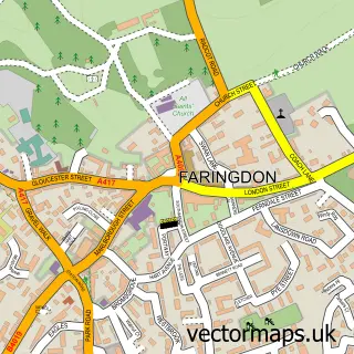

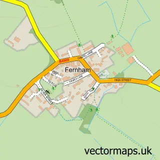
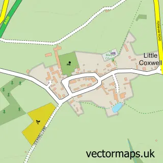
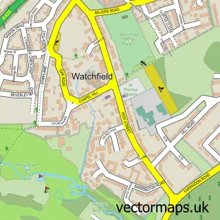
More street maps in Oxfordshire
750 metre map area coverage
Boundary, postcode and point of interest information for the 750m x 750m rectangle centred on this sample map.
Boundaries containing map centre
Constituency: Witney Co Const
County: Oxfordshire County
District: Vale of White Horse District
Icb: NHS Bath and North East Somerset Swindon and Wiltshire ICB
Parish: Longcot CP
Police Force: thames valley
Postcode District: SN7
Postcode Sector: SN7 7
Ward: Watchfield & Shrivenham Ward
Nearby boundaries intersecting sample
No additional intersecting boundaries found.
Postcode coverage
POI category counts
Dj Service: 2
Elementary School: 2
Publicity Service: 2
Alternative Medicine: 1
Anglican Church: 1
Church Cathedral: 1
Marketing Consultant: 1
Movie Television Studio: 1
Naturopathic Holistic: 1
Pub: 1
Sample points of interest
- Penny Ling Hypnotherapy
- Longcot: St Mary the Virgin
- St Mary's Church
- Starsound Express Video Disco
- Starsound Express Video Disco
- Longcot & Fernham C of E Primary School
- Longcot and Fernham Church of England Primary School
- Aspirata Coaching Ltd.
- Photomec London
- Faringdon Hypnotherapy
- The King and Queen
- 20 20
Create a larger editable map of Longcot
This sample shows only a 750 metre area. To create a larger map of Longcot, use our map builder to choose your own coverage area, add titles and download editable SVG, PDF and PNG files.
Create a custom map of Longcot