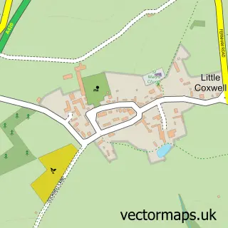
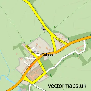
This Faringdon street map is a detailed vector street map covering a 750m x 750m area. Select a larger area to create and download your own vector street map of Faringdon.
The 750-metre map sample for Faringdon covers 337 mapped buildings and approximately 18.7 km of road detail, of which 44 named roads are named. The immediate area includes 1 school, 1 GP surgery within 2 miles, 4 pubs and 3 MOT stations within 2 miles. The wider area around Faringdon features 3 tourism points of interest, 11 food and drink venues and 3 hotels. To create a larger or custom map of Faringdon, the map builder lets you define your own coverage area and download editable SVG, PDF and PNG files.
Create a larger editable map of Faringdon
Choose any area you need and generate a high-quality vector map instantly. Perfect for print, planning, design, business and personal use.

This Faringdon street map in Oxfordshire is available as downloadable SVG, PDF and PNG map files, or as a printed map for planning, business, display, education, local information and design work. You can also create a larger custom map area using the map selector.
What this Faringdon map sample shows
Faringdon lies within Great Faringdon Cp parish, part of Faringdon ward in the Vale Of White Horse District local authority area. The postcode geography for this area includes the SN postcode area, the SN7 postcode district and the SN7 7 postcode sector. Residents fall under the Nhs Buckinghamshire, Oxfordshire And Berkshire West Integrated Care Board for NHS services.
Local features near Faringdon
Within 2 milesAmenities and services in and around Faringdon.
Administrative and postcode information for Faringdon
The local authority covering Faringdon is Vale Of White Horse District, within the county of Oxfordshire. The settlement lies within Faringdon ward and Great Faringdon Cp civil parish. The SN7 postcode district and SN7 7 postcode sector serve the immediate area. NHS provision in the area is delivered through Oxford University Hospitals Nhs Foundation Trust.
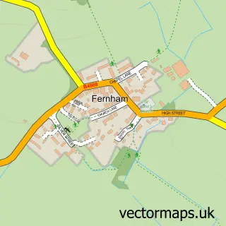
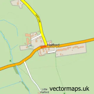
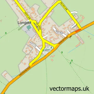
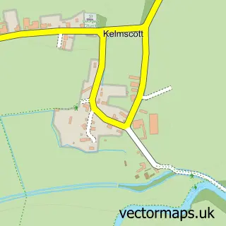
Nearby street map samples around Faringdon

More street maps in Oxfordshire
750 metre map area coverage
Boundary, postcode and point of interest information for the 750m x 750m rectangle centred on this sample map.
Boundaries containing map centre
Constituency: Witney Co Const
County: Oxfordshire County
District: Vale of White Horse District
Icb: NHS Thames Valley ICB
Parish: Great Faringdon CP
Police Force: thames valley
Postcode District: SN7
Postcode Sector: SN7 7
Ward: Faringdon Ward
Nearby boundaries intersecting sample
Postcode Sector: SN7 8
Postcode coverage
POI category counts
Barber: 5
Beauty Salon: 4
Bicycle Shop: 4
Church Cathedral: 4
Convenience Store: 4
Pub: 4
Real Estate Agent: 4
Retail: 4
Beauty And Spa: 3
Cafe: 3
Sample points of interest
- Grand Design House
- Luna Branding
- Oxford Architectural Antiques
- Andrew Townsend Architects
- Swordsman Historic Architectural Design
- Pink Dove Artistry
- Brushwood Antiques
- The Crafters Emporium
- Fresh Shine Ltd
- Motability Scheme at Faringdon Garage Peugeot
- Your Garage Limited
- Lushlooking Cakes
Create a larger editable map of Faringdon
This sample shows only a 750 metre area. To create a larger map of Faringdon, use our map builder to choose your own coverage area, add titles and download editable SVG, PDF and PNG files.
Create a custom map of Faringdon