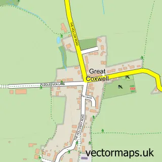
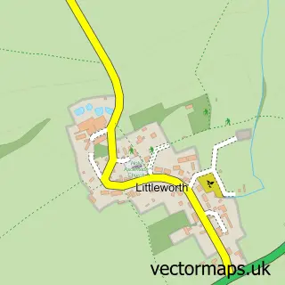
This Little Coxwell street map is a detailed vector street map covering a 750m x 750m area. Select a larger area to create and download your own vector street map of Little Coxwell.
The 750-metre map sample for Little Coxwell covers 86 mapped buildings and approximately 5.9 km of road detail, of which 2 named roads are named. The immediate area includes 1 GP surgery within 2 miles, 2 pubs and 3 MOT stations within 2 miles. The wider area around Little Coxwell features 2 food and drink venues and 1 campsite within 2 miles. To create a larger or custom map of Little Coxwell, the map builder lets you define your own coverage area and download editable SVG, PDF and PNG files.
Create a larger editable map of Little Coxwell
Choose any area you need and generate a high-quality vector map instantly. Perfect for print, planning, design, business and personal use.

This Little Coxwell street map in Oxfordshire is available as downloadable SVG, PDF and PNG map files, or as a printed map for planning, business, display, education, local information and design work. You can also create a larger custom map area using the map selector.
What this Little Coxwell map sample shows
Little Coxwell lies within Little Coxwell Cp parish, part of Watchfield & Shrivenham ward in the Vale Of White Horse District local authority area. The postcode geography for this area includes the SN postcode area, the SN7 postcode district and the SN7 7 postcode sector. Residents fall under the Nhs Buckinghamshire, Oxfordshire And Berkshire West Integrated Care Board for NHS services.
Local features near Little Coxwell
Within 2 milesAmenities and services in and around Little Coxwell.
Administrative and postcode information for Little Coxwell
The local authority covering Little Coxwell is Vale Of White Horse District, within the county of Oxfordshire. The settlement lies within Watchfield & Shrivenham ward and Little Coxwell Cp civil parish. The SN7 postcode district and SN7 7 postcode sector serve the immediate area. NHS provision in the area is delivered through Great Western Hospitals Nhs Foundation Trust.
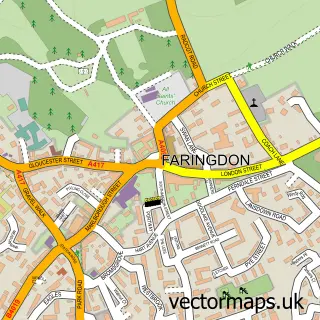
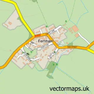
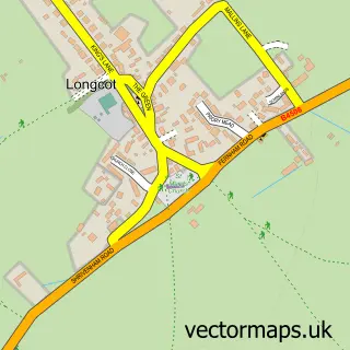
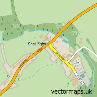
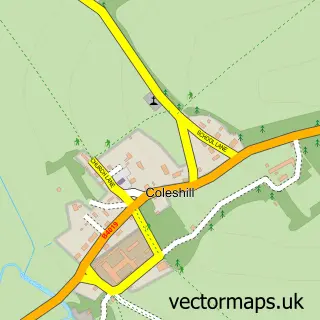
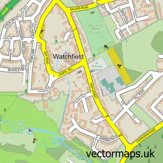
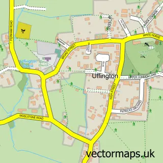
Nearby street map samples around Little Coxwell

More street maps in Oxfordshire
750 metre map area coverage
Boundary, postcode and point of interest information for the 750m x 750m rectangle centred on this sample map.
Boundaries containing map centre
Constituency: Witney Co Const
County: Oxfordshire County
District: Vale of White Horse District
Icb: NHS Thames Valley ICB
Parish: Little Coxwell CP
Police Force: thames valley
Postcode District: SN7
Postcode Sector: SN7 7
Ward: Watchfield & Shrivenham Ward
Nearby boundaries intersecting sample
Parish: Great Coxwell CP
Postcode coverage
POI category counts
Bar: 2
Pub: 2
Sports Club And League: 2
Anglican Church: 1
Business: 1
Financial Advising: 1
Horse Boarding: 1
Livestock Breeder: 1
Sample points of interest
- Little Coxwell: St Mary's
- Clover Stables
- MLC Catering
- Web Chat Company
- Keystone Family Advisers
- Rose Livery Stables
- Little Leafy Bees
- Eagle Tavern
- The Eagle Tavern
- Hurlingham Polo Association
- Hurlingham Polo Association
Create a larger editable map of Little Coxwell
This sample shows only a 750 metre area. To create a larger map of Little Coxwell, use our map builder to choose your own coverage area, add titles and download editable SVG, PDF and PNG files.
Create a custom map of Little Coxwell