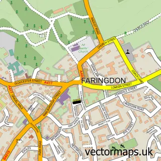
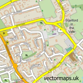
This Uffington street map is a detailed vector street map covering a 750m x 750m area. Select a larger area to create and download your own vector street map of Uffington.
The 750-metre map sample for Uffington covers 223 mapped buildings and approximately 9.7 km of road detail, of which 15 named roads are named. The immediate area includes 1 school, 2 pubs and 1 MOT station within 2 miles. The wider area around Uffington features 2 tourism points of interest, 2 food and drink venues and 1 campsite within 2 miles. To create a larger or custom map of Uffington, the map builder lets you define your own coverage area and download editable SVG, PDF and PNG files.
Create a larger editable map of Uffington
Choose any area you need and generate a high-quality vector map instantly. Perfect for print, planning, design, business and personal use.

This Uffington street map in Oxfordshire is available as downloadable SVG, PDF and PNG map files, or as a printed map for planning, business, display, education, local information and design work. You can also create a larger custom map area using the map selector.
What this Uffington map sample shows
Uffington lies within Uffington Cp parish, part of Stanford ward in the Vale Of White Horse District local authority area. The postcode geography for this area includes the SN postcode area, the SN7 postcode district and the SN7 7 postcode sector. Residents fall under the Nhs Buckinghamshire, Oxfordshire And Berkshire West Integrated Care Board for NHS services.
Local features near Uffington
Within 2 milesAmenities and services in and around Uffington.
Administrative and postcode information for Uffington
The local authority covering Uffington is Vale Of White Horse District, within the county of Oxfordshire. The settlement lies within Stanford ward and Uffington Cp civil parish. The SN7 postcode district and SN7 7 postcode sector serve the immediate area. NHS provision in the area is delivered through Great Western Hospitals Nhs Foundation Trust.
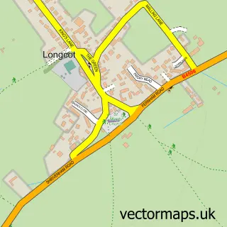
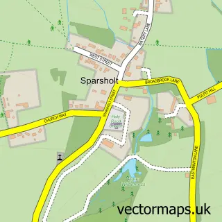
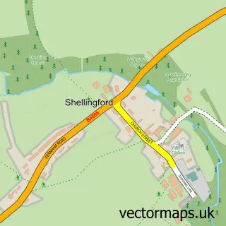
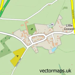
Nearby street map samples around Uffington

More street maps in Oxfordshire
750 metre map area coverage
Boundary, postcode and point of interest information for the 750m x 750m rectangle centred on this sample map.
Boundaries containing map centre
Constituency: Didcot and Wantage Co Const
County: Oxfordshire County
District: Vale of White Horse District
Icb: NHS Thames Valley ICB
Parish: Uffington CP
Police Force: thames valley
Postcode District: SN7
Postcode Sector: SN7 7
Ward: Stanford Ward
Nearby boundaries intersecting sample
No additional intersecting boundaries found.
Postcode coverage
POI category counts
Convenience Store: 2
Pub: 2
Anglican Church: 1
Bar: 1
Bed And Breakfast: 1
Building Supply Store: 1
Church Cathedral: 1
Community Center: 1
Elementary School: 1
Hvac Supplier: 1
Sample points of interest
- Uffington: St Mary
- The Stone Throwers Inn
- Fox And Hounds
- Ridgeway Plumbing
- Uffington Church
- Uffington Village Hall
- Uffington Stores and Post Office
- Uffington Sub Post Office
- Uffington C Of E Primary School
- Peter R Abel
- Euro Fine Foods
- George M Pope F R I C S
Create a larger editable map of Uffington
This sample shows only a 750 metre area. To create a larger map of Uffington, use our map builder to choose your own coverage area, add titles and download editable SVG, PDF and PNG files.
Create a custom map of Uffington