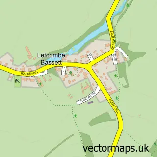
This Kingston Lisle street map is a detailed vector street map covering a 750m x 750m area. Select a larger area to create and download your own vector street map of Kingston Lisle.
The 750-metre map sample for Kingston Lisle covers 74 mapped buildings and approximately 4.8 km of road detail, of which 2 named roads are named. The immediate area includes 1 pub and 1 MOT station within 2 miles. The wider area around Kingston Lisle features 1 food and drink venue. To create a larger or custom map of Kingston Lisle, the map builder lets you define your own coverage area and download editable SVG, PDF and PNG files.
Create a larger editable map of Kingston Lisle
Choose any area you need and generate a high-quality vector map instantly. Perfect for print, planning, design, business and personal use.

This Kingston Lisle street map in Oxfordshire is available as downloadable SVG, PDF and PNG map files, or as a printed map for planning, business, display, education, local information and design work. You can also create a larger custom map area using the map selector.
What this Kingston Lisle map sample shows
Kingston Lisle lies within Kingston Lisle Cp parish, part of Ridgeway ward in the Vale Of White Horse District local authority area. The postcode geography for this area includes the OX postcode area, the OX12 postcode district and the OX12 9 postcode sector. Residents fall under the Nhs Buckinghamshire, Oxfordshire And Berkshire West Integrated Care Board for NHS services.
Local features near Kingston Lisle
Within 2 milesAmenities and services in and around Kingston Lisle.
Administrative and postcode information for Kingston Lisle
The local authority covering Kingston Lisle is Vale Of White Horse District, within the county of Oxfordshire. The settlement lies within Ridgeway ward and Kingston Lisle Cp civil parish. The OX12 postcode district and OX12 9 postcode sector serve the immediate area. NHS provision in the area is delivered through Great Western Hospitals Nhs Foundation Trust.
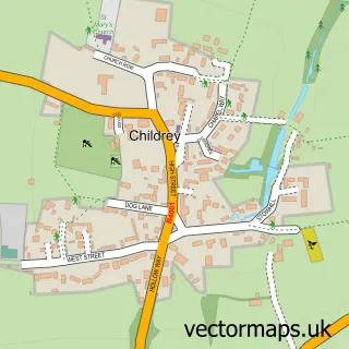
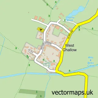
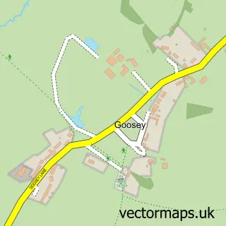
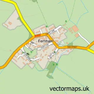
Nearby street map samples around Kingston Lisle
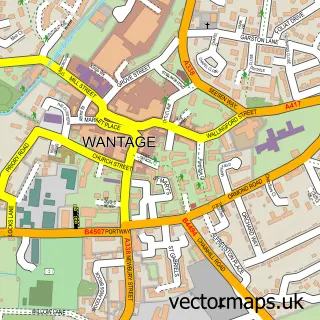

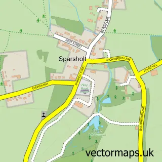
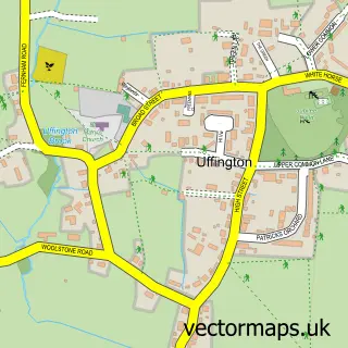
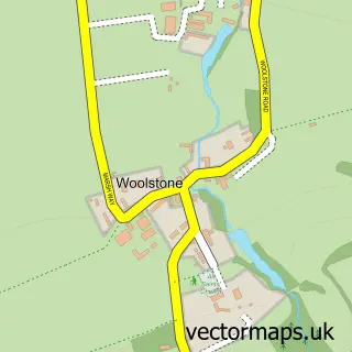
More street maps in Oxfordshire
750 metre map area coverage
Boundary, postcode and point of interest information for the 750m x 750m rectangle centred on this sample map.
Boundaries containing map centre
Constituency: Didcot and Wantage Co Const
County: Oxfordshire County
District: Vale of White Horse District
Icb: NHS Thames Valley ICB
Parish: Kingston Lisle CP
Police Force: thames valley
Postcode District: OX12
Postcode Sector: OX12 9
Ward: Ridgeway Ward
Nearby boundaries intersecting sample
No additional intersecting boundaries found.
Postcode coverage
POI category counts
Travel Services: 2
Anglican Church: 1
Event Technology Service: 1
Furniture Store: 1
Pub: 1
Travel: 1
Sample points of interest
- St John the Baptist Kingston Lisle
- Simon Florey & Son Marquee Hire
- Christian Mobey
- The Blowing Stone Inn
- Nelson Travel
- Nelson Travel
- Safari Drive
Create a larger editable map of Kingston Lisle
This sample shows only a 750 metre area. To create a larger map of Kingston Lisle, use our map builder to choose your own coverage area, add titles and download editable SVG, PDF and PNG files.
Create a custom map of Kingston Lisle