This Cerney Wick street map is a detailed vector street map covering a 750m x 750m area. Select a larger area to create and download your own vector street map of Cerney Wick.
The 750-metre map sample for Cerney Wick covers 97 mapped buildings and approximately 11.3 km of road detail, of which 1 named road are named. The immediate area includes 1 pub and 5 MOT stations within 2 miles. The wider area around Cerney Wick features 1 tourism point of interest and 1 food and drink venue. To create a larger or custom map of Cerney Wick, the map builder lets you define your own coverage area and download editable SVG, PDF and PNG files.
Create a larger editable map of Cerney Wick
Choose any area you need and generate a high-quality vector map instantly. Perfect for print, planning, design, business and personal use.

This Cerney Wick street map in Gloucestershire is available as downloadable SVG, PDF and PNG map files, or as a printed map for planning, business, display, education, local information and design work. You can also create a larger custom map area using the map selector.
What this Cerney Wick map sample shows
Cerney Wick lies within South Cerney Cp parish, part of Siddington & Cerney Rural ward in the Cotswold District local authority area. The postcode geography for this area includes the GL postcode area, the GL7 postcode district and the GL7 5 postcode sector. Residents fall under the Nhs Gloucestershire Integrated Care Board for NHS services.
Local features near Cerney Wick
Within 2 milesAmenities and services in and around Cerney Wick.
Administrative and postcode information for Cerney Wick
The local authority covering Cerney Wick is Cotswold District, within the county of Gloucestershire. The settlement lies within Siddington & Cerney Rural ward and South Cerney Cp civil parish. The GL7 postcode district and GL7 5 postcode sector serve the immediate area. NHS provision in the area is delivered through Gloucestershire Hospitals Nhs Foundation Trust.
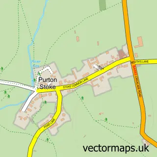
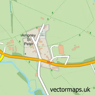
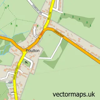
Nearby street map samples around Cerney Wick
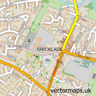

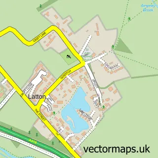
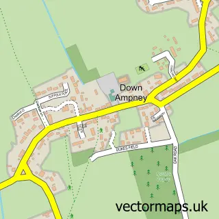
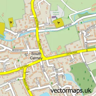
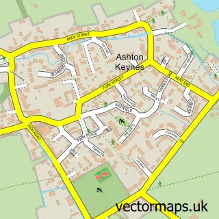
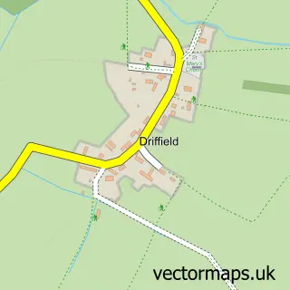
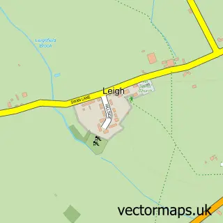
More street maps in Gloucestershire
750 metre map area coverage
Boundary, postcode and point of interest information for the 750m x 750m rectangle centred on this sample map.
Boundaries containing map centre
Constituency: South Cotswolds Co Const
County: Gloucestershire County
District: Cotswold District
Icb: NHS Gloucestershire ICB
Parish: South Cerney CP
Police Force: gloucestershire
Postcode District: GL7
Postcode Sector: GL7 5
Ward: Siddington & Cerney Rural Ward
Nearby boundaries intersecting sample
District: Wiltshire
Icb: NHS Bath and North East Somerset Swindon and Wiltshire ICB
Parish: Latton CP
Police Force: wiltshire
Postcode District: SN6
Postcode Sector: SN6 6
Postcode coverage
POI category counts
Active Life: 1
Anglican Church: 1
Attractions And Activities: 1
Bakery: 1
Bed And Breakfast: 1
Personal Care Service: 1
Pub: 1
Sample points of interest
- South Cerney Riding School
- Holy Trinity Church
- Cerney Wick Village
- Creative Cakes
- The Barn
- Cambridge Weight Plan Consultant
- The Crown
Create a larger editable map of Cerney Wick
This sample shows only a 750 metre area. To create a larger map of Cerney Wick, use our map builder to choose your own coverage area, add titles and download editable SVG, PDF and PNG files.
Create a custom map of Cerney Wick