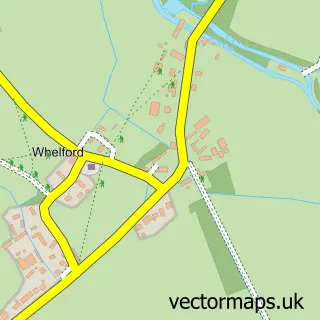
This Lechlade street map is a detailed vector street map covering a 750m x 750m area. Select a larger area to create and download your own vector street map of Lechlade.
The 750-metre map sample for Lechlade covers 296 mapped buildings and approximately 13.8 km of road detail, of which 23 named roads are named. The immediate area includes 1 school, 4 pubs and 1 MOT station, with 2 within 2 miles. The wider area around Lechlade features 2 tourism points of interest, 11 food and drink venues and 1 hotel. To create a larger or custom map of Lechlade, the map builder lets you define your own coverage area and download editable SVG, PDF and PNG files.
Create a larger editable map of Lechlade
Choose any area you need and generate a high-quality vector map instantly. Perfect for print, planning, design, business and personal use.

This Lechlade street map in Gloucestershire is available as downloadable SVG, PDF and PNG map files, or as a printed map for planning, business, display, education, local information and design work. You can also create a larger custom map area using the map selector.
What this Lechlade map sample shows
Lechlade lies within Lechlade Cp parish, part of Lechlade, Kempsford & Fairford South ward in the Cotswold District local authority area. The postcode geography for this area includes the GL postcode area, the GL7 postcode district and the GL7 3 postcode sector. Residents fall under the Nhs Gloucestershire Integrated Care Board for NHS services.
Local features near Lechlade
Within 2 milesAmenities and services in and around Lechlade.
Administrative and postcode information for Lechlade
The local authority covering Lechlade is Cotswold District, within the county of Gloucestershire. The settlement lies within Lechlade, Kempsford & Fairford South ward and Lechlade Cp civil parish. The GL7 postcode district and GL7 3 postcode sector serve the immediate area. NHS provision in the area is delivered through Great Western Hospitals Nhs Foundation Trust.
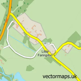
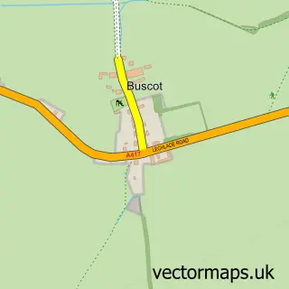
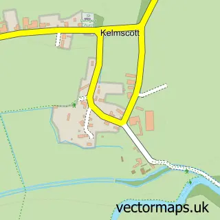
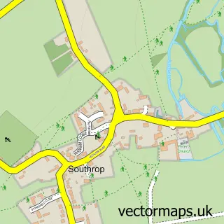
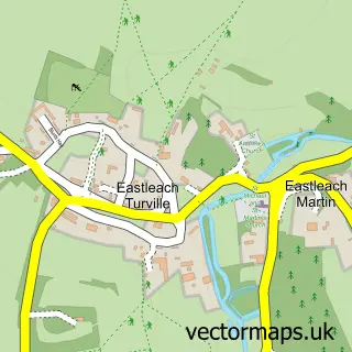
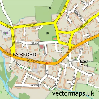
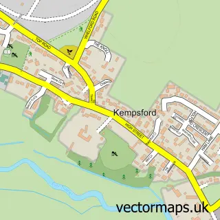
Nearby street map samples around Lechlade

More street maps in Gloucestershire
750 metre map area coverage
Boundary, postcode and point of interest information for the 750m x 750m rectangle centred on this sample map.
Boundaries containing map centre
Constituency: South Cotswolds Co Const
County: Gloucestershire County
District: Cotswold District
Icb: NHS Gloucestershire ICB
Parish: Lechlade CP
Police Force: gloucestershire
Postcode District: GL7
Postcode Sector: GL7 3
Ward: Lechlade, Kempsford & Fairford South Ward
Nearby boundaries intersecting sample
Constituency: Swindon North Co Const
District: Swindon (B)
Icb: NHS Bath and North East Somerset Swindon and Wiltshire ICB
Parish: Inglesham CP
Police Force: wiltshire
Postcode District: SN6
Postcode Sector: SN6 7
Ward: Blunsdon and Highworth Ward
Postcode coverage
POI category counts
Flowers And Gifts Shop: 5
Coffee Shop: 4
Pub: 4
Antique Store: 3
Beauty Salon: 3
Cafe: 3
Dentist: 3
Doctor: 3
Florist: 3
Arts And Crafts: 2
Sample points of interest
- Lechlade and Bushyleaze Trout Fisheries
- Mike Skidmore
- St Lawrence Lechlade
- Anthony Hazledine
- Jubilee Hall Antiques Centre
- Lechlade Antique & Vintage Market
- Art Shed
- Crafter's Retreats
- Allcourt
- Sourdough Revolution
- Khushi Fine Bangladeshi Dining
- Barclays Bank
Create a larger editable map of Lechlade
This sample shows only a 750 metre area. To create a larger map of Lechlade, use our map builder to choose your own coverage area, add titles and download editable SVG, PDF and PNG files.
Create a custom map of Lechlade