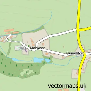
This Barnstaple street map is a detailed vector street map covering a 750m x 750m area. Select a larger area to create and download your own vector street map of Barnstaple.
The 750-metre map sample for Barnstaple covers 170 mapped buildings and approximately 20.7 km of road detail, of which 63 named roads are named. The immediate area includes 2 GP surgeries, with 3 within 2 miles, 25 pubs and 6 MOT stations, with 22 within 2 miles. The wider area around Barnstaple features 11 tourism points of interest, 75 food and drink venues and 5 hotels. To create a larger or custom map of Barnstaple, the map builder lets you define your own coverage area and download editable SVG, PDF and PNG files.
Create a larger editable map of Barnstaple
Choose any area you need and generate a high-quality vector map instantly. Perfect for print, planning, design, business and personal use.

This Barnstaple street map in Devon is available as downloadable SVG, PDF and PNG map files, or as a printed map for planning, business, display, education, local information and design work. You can also create a larger custom map area using the map selector.
What this Barnstaple map sample shows
Barnstaple lies within Barnstaple Cp parish, part of Barnstaple Central ward in the North Devon District local authority area. The postcode geography for this area includes the EX postcode area, the EX31 postcode district and the EX31 1 postcode sector. Residents fall under the Nhs Devon Integrated Care Board for NHS services.
Local features near Barnstaple
Within 2 milesAmenities and services in and around Barnstaple.
Administrative and postcode information for Barnstaple
Barnstaple lies within Barnstaple Cp parish, part of Barnstaple Central ward in the North Devon District local authority area. The postcode geography for this area includes the EX postcode area, the EX31 postcode district and the EX31 1 postcode sector. Residents fall under the Nhs Devon Integrated Care Board for NHS services.
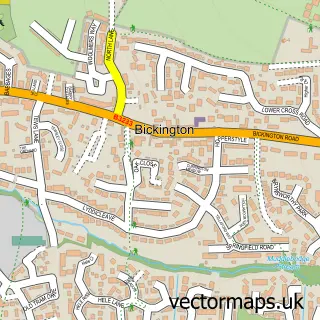
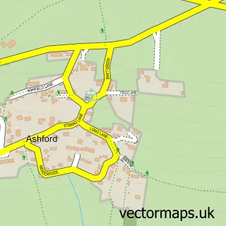
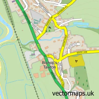
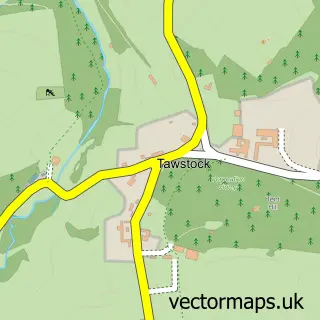
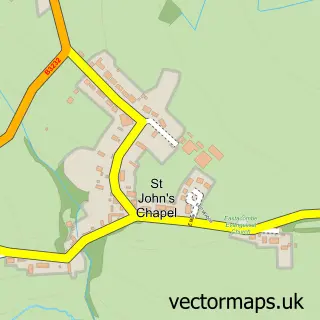
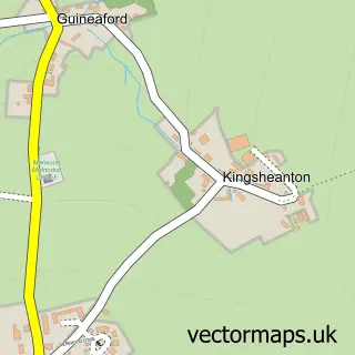
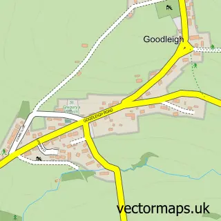
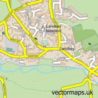
Nearby street map samples around Barnstaple

More street maps in Devon
750 metre map area coverage
Boundary, postcode and point of interest information for the 750m x 750m rectangle centred on this sample map.
Boundaries containing map centre
Constituency: North Devon Co Const
County: Devon County
District: North Devon District
Icb: NHS Devon ICB
Parish: Barnstaple CP
Police Force: devon and cornwall
Postcode District: EX31
Postcode Sector: EX31 1
Ward: Barnstaple Central Ward
Nearby boundaries intersecting sample
Postcode District: EX32
Postcode Sector: EX31 2, EX32 7, EX32 8
Ward: Barnstaple with Pilton Ward, Barnstaple with Westacott Ward, Roundswell Ward
Postcode coverage
POI category counts
Beauty Salon: 32
Hair Salon: 32
Clothing Store: 31
Pub: 25
Cafe: 23
Professional Services: 22
Real Estate Agent: 20
Flowers And Gifts Shop: 19
Restaurant: 19
Jewelry Store: 18
Sample points of interest
- The Cottage
- Woolacombe Bay Holiday Village
- Azets
- Glover Stanbury
- LCA Chartered Accountants
- Stevens & Willey
- TaxAssist Accountants
- The Accounting Company
- Thomas Westcott Business Recovery & Insolvency
- Westcotts Chartered Accountants & Business Advisers
- Chinese Acupuncture & Medicine
- Dr China
Create a larger editable map of Barnstaple
This sample shows only a 750 metre area. To create a larger map of Barnstaple, use our map builder to choose your own coverage area, add titles and download editable SVG, PDF and PNG files.
Create a custom map of Barnstaple