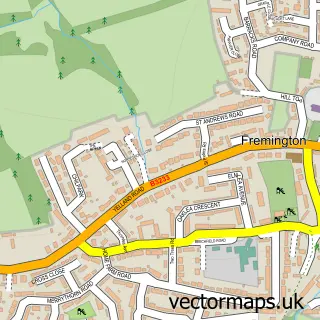
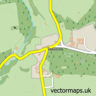
This Bickington street map is a detailed vector street map covering a 750m x 750m area. Select a larger area to create and download your own vector street map of Bickington.
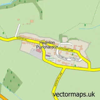
The 750-metre map sample for Bickington covers 582 mapped buildings and approximately 15.4 km of road detail, of which 37 named roads are named. The immediate area includes 3 GP surgeries within 2 miles, 2 pubs and 18 MOT stations within 2 miles. The wider area around Bickington features 2 food and drink venues, 1 hotel and 2 campsites within 2 miles. To create a larger or custom map of Bickington, the map builder lets you define your own coverage area and download editable SVG, PDF and PNG files.
Create a larger editable map of Bickington
Choose any area you need and generate a high-quality vector map instantly. Perfect for print, planning, design, business and personal use.

This Bickington street map in Devon is available as downloadable SVG, PDF and PNG map files, or as a printed map for planning, business, display, education, local information and design work. You can also create a larger custom map area using the map selector.
What this Bickington map sample shows
Bickington lies within Fremington Cp parish, part of Bickington ward in the North Devon District local authority area. The postcode geography for this area includes the EX postcode area, the EX31 postcode district and the EX31 3 postcode sector. Residents fall under the Nhs Devon Integrated Care Board for NHS services.
Local features near Bickington
Within 2 milesAmenities and services in and around Bickington.
Administrative and postcode information for Bickington
The local authority covering Bickington is North Devon District, within the county of Devon. The settlement lies within Bickington ward and Fremington Cp civil parish. The EX31 postcode district and EX31 3 postcode sector serve the immediate area. NHS provision in the area is delivered through Northern Devon Nhs Trust.
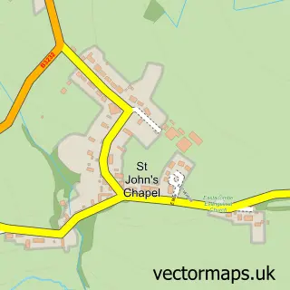
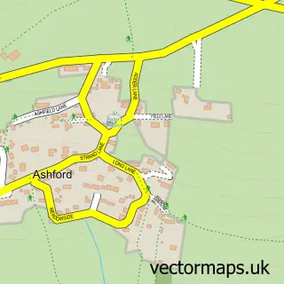
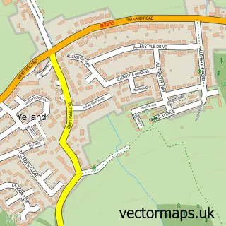
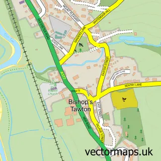
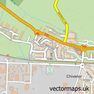
Nearby street map samples around Bickington
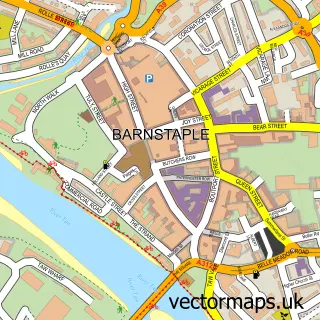

More street maps in Devon
750 metre map area coverage
Boundary, postcode and point of interest information for the 750m x 750m rectangle centred on this sample map.
Boundaries containing map centre
Constituency: North Devon Co Const
County: Devon County
District: North Devon District
Icb: NHS Devon ICB
Parish: Fremington CP
Police Force: devon and cornwall
Postcode District: EX31
Postcode Sector: EX31 2
Ward: Bickington Ward
Nearby boundaries intersecting sample
Postcode Sector: EX31 3
Postcode coverage
POI category counts
Business Management Services: 2
Convenience Store: 2
Pub: 2
Acupuncture: 1
Beauty And Spa: 1
Beauty Salon: 1
Cabin: 1
Chimney Sweep: 1
Contractor: 1
Driving School: 1
Sample points of interest
- The Acupuncture Studio
- The Brow Suite
- CES hair
- Amanda Jane Ceremonies
- Post Office-Bickington
- Tuckers Holiday Cottages
- A2B Chimney Sweep
- P & R Installations
- SPAR Bickington
- Tesco Express
- Dan Howlett Driver Training
- Cath Roberts County Driving School
Create a larger editable map of Bickington
This sample shows only a 750 metre area. To create a larger map of Bickington, use our map builder to choose your own coverage area, add titles and download editable SVG, PDF and PNG files.
Create a custom map of Bickington