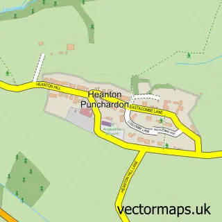
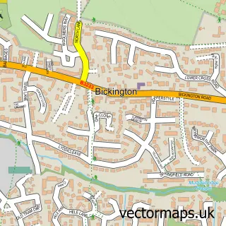
This Chivenor street map is a detailed vector street map covering a 750m x 750m area. Select a larger area to create and download your own vector street map of Chivenor.
The 750-metre map sample for Chivenor covers 173 mapped buildings and approximately 10.6 km of road detail, of which 13 named roads are named. The immediate area includes 2 GP surgeries within 2 miles and 2 MOT stations, with 8 within 2 miles. The wider area around Chivenor features 1 tourism point of interest and 2 campsites within 2 miles. To create a larger or custom map of Chivenor, the map builder lets you define your own coverage area and download editable SVG, PDF and PNG files.
Create a larger editable map of Chivenor
Choose any area you need and generate a high-quality vector map instantly. Perfect for print, planning, design, business and personal use.

This Chivenor street map in Devon is available as downloadable SVG, PDF and PNG map files, or as a printed map for planning, business, display, education, local information and design work. You can also create a larger custom map area using the map selector.
What this Chivenor map sample shows
Chivenor lies within Heanton Punchardon Cp parish, part of Heanton Punchardon ward in the North Devon District local authority area. The postcode geography for this area includes the EX postcode area, the EX31 postcode district and the EX31 4 postcode sector. Residents fall under the Nhs Devon Integrated Care Board for NHS services.
Local features near Chivenor
Within 2 milesAmenities and services in and around Chivenor.
Administrative and postcode information for Chivenor
Chivenor lies within Heanton Punchardon Cp parish, part of Heanton Punchardon ward in the North Devon District local authority area. The postcode geography for this area includes the EX postcode area, the EX31 postcode district and the EX31 4 postcode sector. Residents fall under the Nhs Devon Integrated Care Board for NHS services.
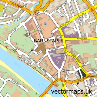
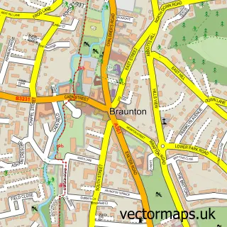
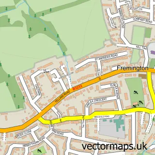
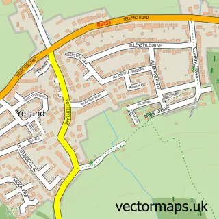
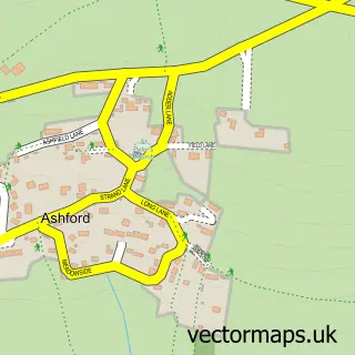
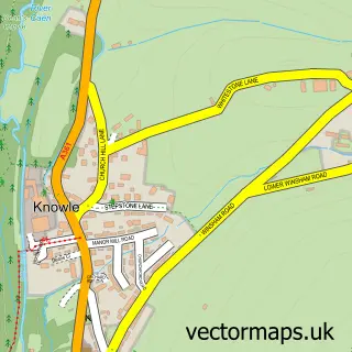
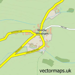
Nearby street map samples around Chivenor

More street maps in Devon
750 metre map area coverage
Boundary, postcode and point of interest information for the 750m x 750m rectangle centred on this sample map.
Boundaries containing map centre
Constituency: North Devon Co Const
County: Devon County
District: North Devon District
Icb: NHS Devon ICB
Parish: Heanton Punchardon CP
Police Force: devon and cornwall
Postcode District: EX31
Postcode Sector: EX31 4
Ward: Heanton Punchardon Ward
Nearby boundaries intersecting sample
No additional intersecting boundaries found.
Postcode coverage
POI category counts
Armed Forces Branch: 3
Automotive Repair: 2
Professional Services: 2
Automotive: 1
Automotive Dealer: 1
Bed And Breakfast: 1
Business Manufacturing And Supply: 1
Campground: 1
Car Dealer: 1
Car Wash: 1
Sample points of interest
- Logistic Support Squadron - CLR RM
- RMB Chivenor
- Royal Marines Base Chivenor
- Pennington Cars of Chivenor
- North Devon Leisure Motorhomes Ltd
- AVM Motor Mechanic
- AVM Motor Mechanic
- The Farthings
- The Seal Company
- Chivenor Caravan Park
- Wheel Easy
- Peters Pristine Motor Valets
Create a larger editable map of Chivenor
This sample shows only a 750 metre area. To create a larger map of Chivenor, use our map builder to choose your own coverage area, add titles and download editable SVG, PDF and PNG files.
Create a custom map of Chivenor