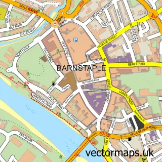
This Fremington street map is a detailed vector street map covering a 750m x 750m area. Select a larger area to create and download your own vector street map of Fremington.
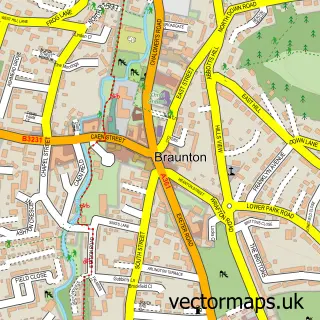
The 750-metre map sample for Fremington covers 424 mapped buildings and approximately 14.5 km of road detail, of which 31 named roads are named. The immediate area includes 1 school, 1 GP surgery within 2 miles and 5 MOT stations within 2 miles. The wider area around Fremington features 1 tourism point of interest and 1 campsite within 2 miles. To create a larger or custom map of Fremington, the map builder lets you define your own coverage area and download editable SVG, PDF and PNG files.
Create a larger editable map of Fremington
Choose any area you need and generate a high-quality vector map instantly. Perfect for print, planning, design, business and personal use.

This Fremington street map in Devon is available as downloadable SVG, PDF and PNG map files, or as a printed map for planning, business, display, education, local information and design work. You can also create a larger custom map area using the map selector.
What this Fremington map sample shows
Fremington lies within Fremington Cp parish, part of Fremington ward in the North Devon District local authority area. The postcode geography for this area includes the EX postcode area, the EX31 postcode district and the EX31 2 postcode sector. Residents fall under the Nhs Devon Integrated Care Board for NHS services.
Local features near Fremington
Within 2 milesAmenities and services in and around Fremington.
Administrative and postcode information for Fremington
Fremington lies within Fremington Cp parish, part of Fremington ward in the North Devon District local authority area. The postcode geography for this area includes the EX postcode area, the EX31 postcode district and the EX31 2 postcode sector. Residents fall under the Nhs Devon Integrated Care Board for NHS services.
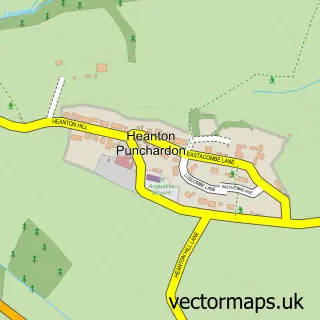
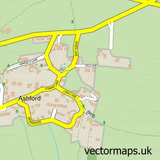
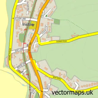
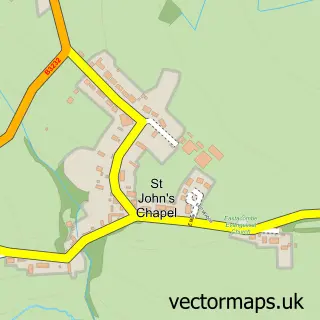
Nearby street map samples around Fremington

More street maps in Devon
750 metre map area coverage
Boundary, postcode and point of interest information for the 750m x 750m rectangle centred on this sample map.
Boundaries containing map centre
Constituency: North Devon Co Const
County: Devon County
District: North Devon District
Icb: NHS Devon ICB
Parish: Fremington CP
Police Force: devon and cornwall
Postcode District: EX31
Postcode Sector: EX31 3
Ward: Fremington Ward
Nearby boundaries intersecting sample
Postcode Sector: EX31 2
Postcode coverage
POI category counts
Hair Salon: 3
Home Service: 3
Korean Grocery Store: 3
Convenience Store: 2
Rental Kiosks: 2
Accountant: 1
Active Life: 1
Anglican Church: 1
Atms: 1
Auto Loan Provider: 1
Sample points of interest
- Accountancy Angels Ltd
- Beechfield Football Ground
- St Peter
- PayPoint
- Intelligent Financial Services
- Fox & Hounds,Fremington
- Instow Beach
- Snapdragon Books
- A S Trade Car Sales
- One Life Church
- Fremington Parish Hall
- Londis
Create a larger editable map of Fremington
This sample shows only a 750 metre area. To create a larger map of Fremington, use our map builder to choose your own coverage area, add titles and download editable SVG, PDF and PNG files.
Create a custom map of Fremington