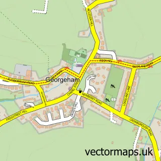
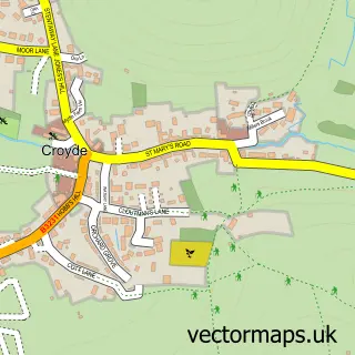
This Knowle street map is a detailed vector street map covering a 750m x 750m area. Select a larger area to create and download your own vector street map of Knowle.
The 750-metre map sample for Knowle covers 159 mapped buildings and approximately 9.0 km of road detail, of which 12 named roads are named. The immediate area includes 1 GP surgery within 2 miles, 1 pub and 1 MOT station, with 5 within 2 miles. The wider area around Knowle features 1 tourism point of interest, 1 food and drink venue and 3 campsites within 2 miles. To create a larger or custom map of Knowle, the map builder lets you define your own coverage area and download editable SVG, PDF and PNG files.
Create a larger editable map of Knowle
Choose any area you need and generate a high-quality vector map instantly. Perfect for print, planning, design, business and personal use.

This Knowle street map in Devon is available as downloadable SVG, PDF and PNG map files, or as a printed map for planning, business, display, education, local information and design work. You can also create a larger custom map area using the map selector.
What this Knowle map sample shows
Knowle lies within Braunton Cp parish, part of Braunton East ward in the North Devon District local authority area. The postcode geography for this area includes the EX postcode area, the EX33 postcode district and the EX33 2 postcode sector. Residents fall under the Nhs Devon Integrated Care Board for NHS services.
Local features near Knowle
Within 2 milesAmenities and services in and around Knowle.
Administrative and postcode information for Knowle
Knowle lies within Braunton Cp parish, part of Braunton East ward in the North Devon District local authority area. The postcode geography for this area includes the EX postcode area, the EX33 postcode district and the EX33 2 postcode sector. Residents fall under the Nhs Devon Integrated Care Board for NHS services.
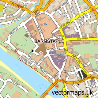
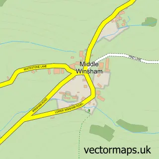
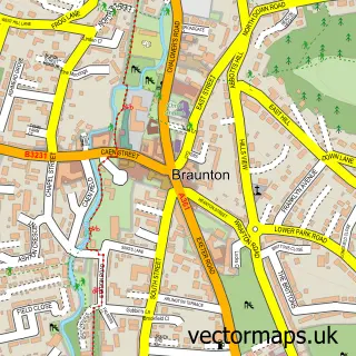
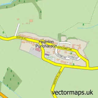
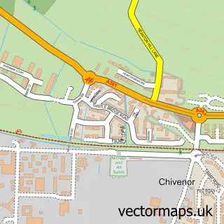
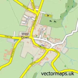
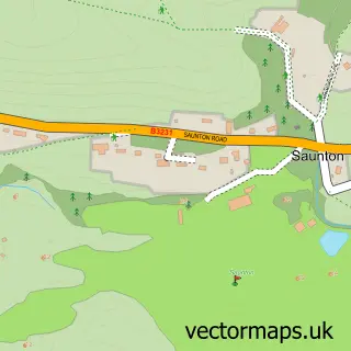
Nearby street map samples around Knowle

More street maps in Devon
750 metre map area coverage
Boundary, postcode and point of interest information for the 750m x 750m rectangle centred on this sample map.
Boundaries containing map centre
Constituency: North Devon Co Const
County: Devon County
District: North Devon District
Icb: NHS Devon ICB
Parish: Braunton CP
Police Force: devon and cornwall
Postcode District: EX33
Postcode Sector: EX33 2
Ward: Braunton East Ward
Nearby boundaries intersecting sample
No additional intersecting boundaries found.
Postcode coverage
POI category counts
Surf Shop: 2
Appliance Manufacturer: 1
Automotive: 1
Automotive Repair: 1
Convenience Store: 1
Cottage: 1
Driving School: 1
Energy Equipment And Solution: 1
Gas Station: 1
It Service And Computer Repair: 1
Sample points of interest
- OrrBott Designs
- CBM Powder Coating
- Norris Auto Services
- SPAR Braunton
- Ranally Cottage, Bishops Tawton
- Finest Driver School
- inspired by climate evolution
- Gulf
- Sims Designs
- Guilty Bangles
- Knowle, Devon
- Karen Guy Piano
Create a larger editable map of Knowle
This sample shows only a 750 metre area. To create a larger map of Knowle, use our map builder to choose your own coverage area, add titles and download editable SVG, PDF and PNG files.
Create a custom map of Knowle