This Croyde street map is a detailed vector street map covering a 750m x 750m area. Select a larger area to create and download your own vector street map of Croyde.
The 750-metre map sample for Croyde covers 214 mapped buildings and approximately 6.9 km of road detail, of which 16 named roads are named. The immediate area includes 4 pubs and 1 MOT station, with 2 within 2 miles. The wider area around Croyde features 3 tourism points of interest, 7 food and drink venues and 3 hotels. To create a larger or custom map of Croyde, the map builder lets you define your own coverage area and download editable SVG, PDF and PNG files.
Create a larger editable map of Croyde
Choose any area you need and generate a high-quality vector map instantly. Perfect for print, planning, design, business and personal use.

This Croyde street map in Devon is available as downloadable SVG, PDF and PNG map files, or as a printed map for planning, business, display, education, local information and design work. You can also create a larger custom map area using the map selector.
What this Croyde map sample shows
Croyde lies within Georgeham Cp parish, part of Braunton West & Georgeham ward in the North Devon District local authority area. The postcode geography for this area includes the EX postcode area, the EX33 postcode district and the EX33 1 postcode sector. Residents fall under the Nhs Devon Integrated Care Board for NHS services.
Local features near Croyde
Within 2 milesAmenities and services in and around Croyde.
Administrative and postcode information for Croyde
The local authority covering Croyde is North Devon District, within the county of Devon. The settlement lies within Braunton West & Georgeham ward and Georgeham Cp civil parish. The EX33 postcode district and EX33 1 postcode sector serve the immediate area. NHS provision in the area is delivered through Northern Devon Nhs Trust.
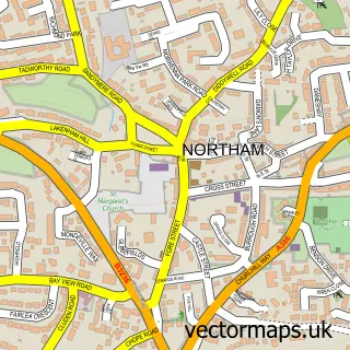
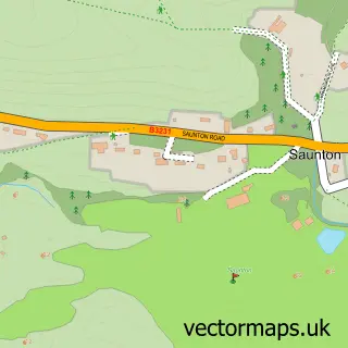
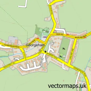
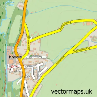
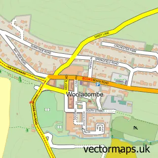
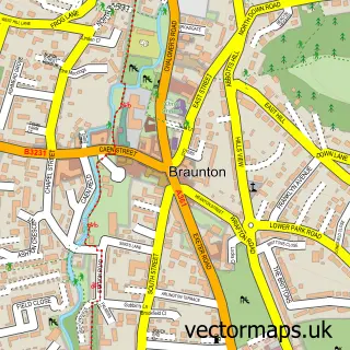
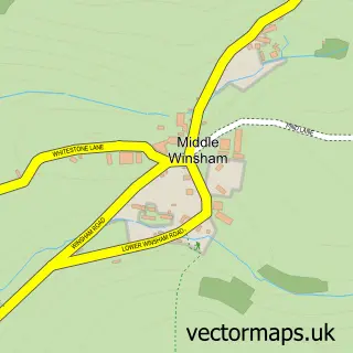
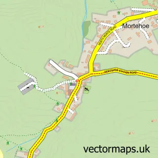
Nearby street map samples around Croyde

More street maps in Devon
750 metre map area coverage
Boundary, postcode and point of interest information for the 750m x 750m rectangle centred on this sample map.
Boundaries containing map centre
Constituency: North Devon Co Const
County: Devon County
District: North Devon District
Icb: NHS Devon ICB
Parish: Georgeham CP
Police Force: devon and cornwall
Postcode District: EX33
Postcode Sector: EX33 1
Ward: Braunton West & Georgeham Ward
Nearby boundaries intersecting sample
No additional intersecting boundaries found.
Postcode coverage
POI category counts
Pub: 4
Bed And Breakfast: 3
Campground: 3
Holiday Rental Home: 3
Hotel: 3
Bar: 2
Car Dealer: 2
Gym: 2
Restaurant: 2
Self Catering Accommodation: 2
Sample points of interest
- St Mary Magdalene
- Croyde Craft Market
- GGE Art
- Pro Dent Removal
- Motability Scheme at Croyde Motors SEAT
- The Hideout Croyde
- The Thatch
- Croyde Bay, North Devon
- Chapel Farm
- Choice Cottages
- Devonia Cottage Boutique Bed & Breakfast Croyde
- New Coast Kitchen
Create a larger editable map of Croyde
This sample shows only a 750 metre area. To create a larger map of Croyde, use our map builder to choose your own coverage area, add titles and download editable SVG, PDF and PNG files.
Create a custom map of Croyde