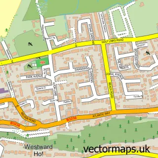
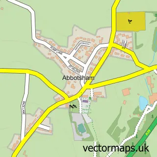
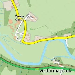
This Northam street map is a detailed vector street map covering a 750m x 750m area. Select a larger area to create and download your own vector street map of Northam.
The 750-metre map sample for Northam covers 512 mapped buildings and approximately 23.3 km of road detail, of which 47 named roads are named. The immediate area includes 1 school, 1 GP surgery, with 3 within 2 miles, 2 pubs and 7 MOT stations within 2 miles. The wider area around Northam features 4 tourism points of interest, 5 food and drink venues and 2 hotels. To create a larger or custom map of Northam, the map builder lets you define your own coverage area and download editable SVG, PDF and PNG files.
Create a larger editable map of Northam
Choose any area you need and generate a high-quality vector map instantly. Perfect for print, planning, design, business and personal use.

This Northam street map in Devon is available as downloadable SVG, PDF and PNG map files, or as a printed map for planning, business, display, education, local information and design work. You can also create a larger custom map area using the map selector.
What this Northam map sample shows
Northam lies within Northam Cp parish, part of Northam ward in the Torridge District local authority area. The postcode geography for this area includes the EX postcode area, the EX39 postcode district and the EX39 3 postcode sector. Residents fall under the Nhs Devon Integrated Care Board for NHS services.
Local features near Northam
Within 2 milesAmenities and services in and around Northam.
Administrative and postcode information for Northam
The local authority covering Northam is Torridge District, within the county of Devon. The settlement lies within Northam ward and Northam Cp civil parish. The EX39 postcode district and EX39 3 postcode sector serve the immediate area. NHS provision in the area is delivered through Northern Devon Nhs Trust.
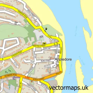
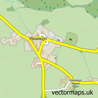
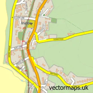
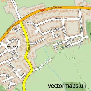
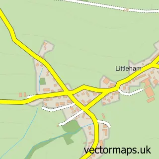
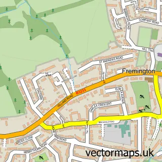
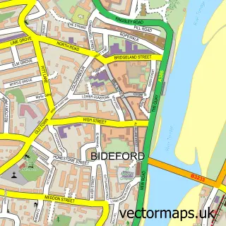
Nearby street map samples around Northam

More street maps in Devon
750 metre map area coverage
Boundary, postcode and point of interest information for the 750m x 750m rectangle centred on this sample map.
Boundaries containing map centre
Constituency: Torridge and Tavistock Co Const
County: Devon County
District: Torridge District
Icb: NHS Devon ICB
Parish: Northam CP
Police Force: devon and cornwall
Postcode District: EX39
Postcode Sector: EX39 1
Ward: Northam Ward
Nearby boundaries intersecting sample
Postcode Sector: EX39 3
Ward: Appledore Ward
Postcode coverage
POI category counts
Assisted Living Facility: 3
Dentist: 3
Elementary School: 3
Funeral Services And Cemeteries: 3
Arts And Crafts: 2
Atms: 2
Building Supply Store: 2
Church Cathedral: 2
Coffee Shop: 2
Hair Salon: 2
Sample points of interest
- Elke Lucas Ceramics
- The Square Studio
- The Square Studio
- Bill and Peach Shaw
- Lakenham Residential Care Home
- Riverbank Care
- The Warren Nursing Home
- Central Convenience - The Square, Northam
- PayPoint
- Bay View Bakehouse
- Lamb Chops Barbershop
- The Little Dress Shop
Create a larger editable map of Northam
This sample shows only a 750 metre area. To create a larger map of Northam, use our map builder to choose your own coverage area, add titles and download editable SVG, PDF and PNG files.
Create a custom map of Northam