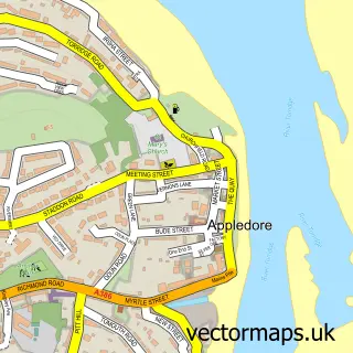
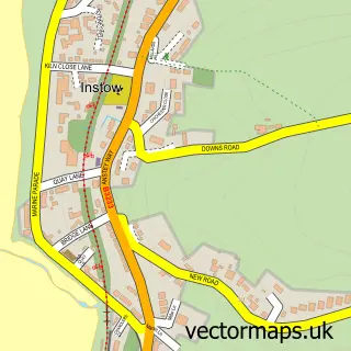
This Abbotsham street map is a detailed vector street map covering a 750m x 750m area. Select a larger area to create and download your own vector street map of Abbotsham.
The 750-metre map sample for Abbotsham covers 136 mapped buildings and approximately 12.6 km of road detail, of which 5 named roads are named. The immediate area includes 1 school, 1 GP surgery within 2 miles, 1 pub and 5 MOT stations within 2 miles. The wider area around Abbotsham features 3 tourism points of interest, 3 food and drink venues and 4 campsites within 2 miles. To create a larger or custom map of Abbotsham, the map builder lets you define your own coverage area and download editable SVG, PDF and PNG files.
Create a larger editable map of Abbotsham
Choose any area you need and generate a high-quality vector map instantly. Perfect for print, planning, design, business and personal use.

This Abbotsham street map in Devon is available as downloadable SVG, PDF and PNG map files, or as a printed map for planning, business, display, education, local information and design work. You can also create a larger custom map area using the map selector.
What this Abbotsham map sample shows
Abbotsham lies within Abbotsham Cp parish, part of Monkleigh & Putford ward in the Torridge District local authority area. The postcode geography for this area includes the EX postcode area, the EX39 postcode district and the EX39 5 postcode sector. Residents fall under the Nhs Devon Integrated Care Board for NHS services.
Local features near Abbotsham
Within 2 milesAmenities and services in and around Abbotsham.
Administrative and postcode information for Abbotsham
Abbotsham lies within Abbotsham Cp parish, part of Monkleigh & Putford ward in the Torridge District local authority area. The postcode geography for this area includes the EX postcode area, the EX39 postcode district and the EX39 5 postcode sector. Residents fall under the Nhs Devon Integrated Care Board for NHS services.
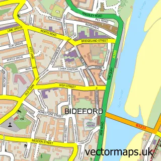
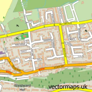
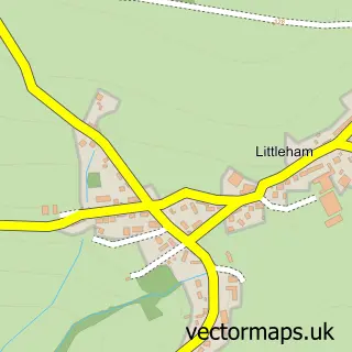
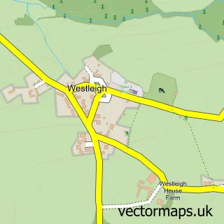
Nearby street map samples around Abbotsham

More street maps in Devon
750 metre map area coverage
Boundary, postcode and point of interest information for the 750m x 750m rectangle centred on this sample map.
Boundaries containing map centre
Constituency: Torridge and Tavistock Co Const
County: Devon County
District: Torridge District
Icb: NHS Devon ICB
Parish: Abbotsham CP
Police Force: devon and cornwall
Postcode District: EX39
Postcode Sector: EX39 5
Ward: Monkleigh & Putford Ward
Nearby boundaries intersecting sample
No additional intersecting boundaries found.
Postcode coverage
POI category counts
Amusement Park: 2
Airport: 1
Anglican Church: 1
Brewery: 1
Campground: 1
Church Cathedral: 1
Coffee Shop: 1
Community Center: 1
Elementary School: 1
Martial Arts Club: 1
Sample points of interest
- Lake Heliport
- The BIG Sheep
- The Big Sheep
- St Helen
- Country Life Brewery
- Adventure Camping
- Abbotsham Baptist Chapel
- The Barn Cafe
- Abbotsham Village Hall
- St Helens Church of England Primary School
- Bideford Shoto Ryu Karate
- The Ewe2 Arena - Live Music Venue
Create a larger editable map of Abbotsham
This sample shows only a 750 metre area. To create a larger map of Abbotsham, use our map builder to choose your own coverage area, add titles and download editable SVG, PDF and PNG files.
Create a custom map of Abbotsham