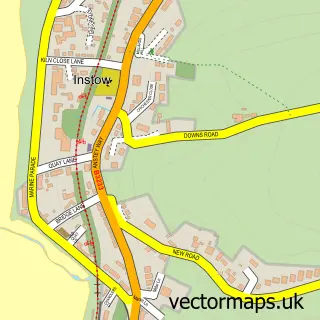
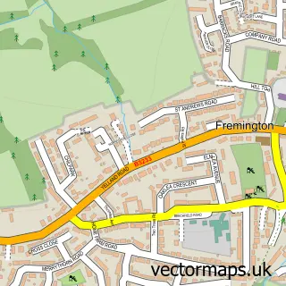
This Westward Ho! street map is a detailed vector street map covering a 750m x 750m area. Select a larger area to create and download your own vector street map of Westward Ho!.
The 750-metre map sample for Westward Ho! covers 466 mapped buildings and approximately 17.2 km of road detail, of which 29 named roads are named. The immediate area includes 2 GP surgeries within 2 miles and 5 MOT stations within 2 miles. The wider area around Westward Ho! features 3 tourism points of interest, 4 food and drink venues and 3 hotels. To create a larger or custom map of Westward Ho!, the map builder lets you define your own coverage area and download editable SVG, PDF and PNG files.
Create a larger editable map of Westward Ho!
Choose any area you need and generate a high-quality vector map instantly. Perfect for print, planning, design, business and personal use.

This Westward Ho! street map in Devon is available as downloadable SVG, PDF and PNG map files, or as a printed map for planning, business, display, education, local information and design work. You can also create a larger custom map area using the map selector.
What this Westward Ho! map sample shows
Westward Ho! lies within Northam Cp parish, part of Westward Ho! ward in the Torridge District local authority area. The postcode geography for this area includes the EX postcode area, the EX39 postcode district and the EX39 1 postcode sector. Residents fall under the Nhs Devon Integrated Care Board for NHS services.
Local features near Westward Ho!
Within 2 milesAmenities and services in and around Westward Ho!.
Administrative and postcode information for Westward Ho!
Westward Ho! lies within Northam Cp parish, part of Westward Ho! ward in the Torridge District local authority area. The postcode geography for this area includes the EX postcode area, the EX39 postcode district and the EX39 1 postcode sector. Residents fall under the Nhs Devon Integrated Care Board for NHS services.
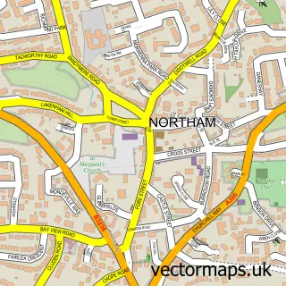
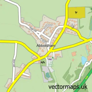
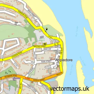
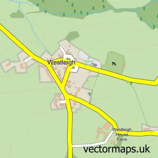
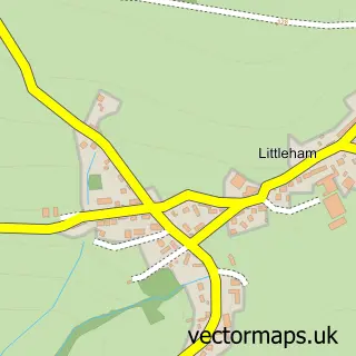
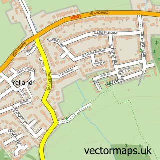
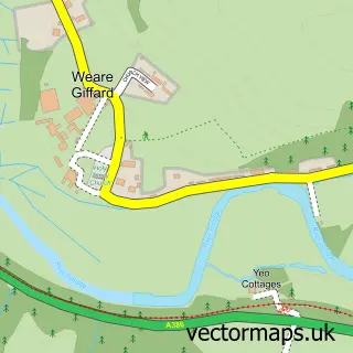
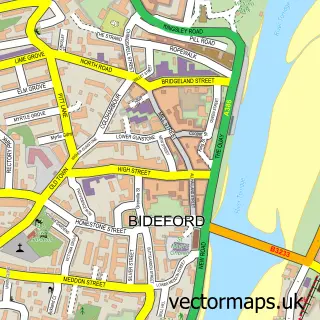
Nearby street map samples around Westward Ho!

More street maps in Devon
750 metre map area coverage
Boundary, postcode and point of interest information for the 750m x 750m rectangle centred on this sample map.
Boundaries containing map centre
Constituency: Torridge and Tavistock Co Const
County: Devon County
District: Torridge District
Icb: NHS Devon ICB
Parish: Northam CP
Police Force: devon and cornwall
Postcode District: EX39
Postcode Sector: EX39 1
Ward: Westward Ho! Ward
Nearby boundaries intersecting sample
Ward: Northam Ward
Postcode coverage
POI category counts
Bed And Breakfast: 3
Cafe: 3
Hotel: 3
Miniature Golf Course: 3
Park: 3
Automotive Repair: 2
Bathroom Remodeling: 2
Building Supply Store: 2
Convenience Store: 2
Electrician: 2
Sample points of interest
- Peter Blayney
- Koto Cabins
- Artsiecoast
- Donness Nursing Home
- Spar (Wessex Retail Ltd) Westward Ho! , Westward Ho!
- Southern Alarm Services
- Beetlebank
- Sii mobile mechanic
- Westward Ho! Baptist Church
- Dream Bathrooms
- Dream Installations
- Dragonfly Nails
Create a larger editable map of Westward Ho!
This sample shows only a 750 metre area. To create a larger map of Westward Ho!, use our map builder to choose your own coverage area, add titles and download editable SVG, PDF and PNG files.
Create a custom map of Westward Ho!