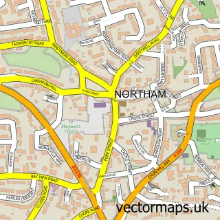
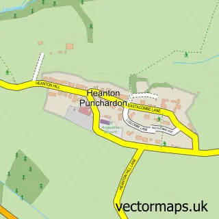
This Appledore street map is a detailed vector street map covering a 750m x 750m area. Select a larger area to create and download your own vector street map of Appledore.
The 750-metre map sample for Appledore covers 241 mapped buildings and approximately 12.4 km of road detail, of which 30 named roads are named. The immediate area includes 1 school, 1 GP surgery within 2 miles, 5 pubs and 3 MOT stations within 2 miles. The wider area around Appledore features 4 tourism points of interest, 10 food and drink venues and 4 hotels. To create a larger or custom map of Appledore, the map builder lets you define your own coverage area and download editable SVG, PDF and PNG files.
Create a larger editable map of Appledore
Choose any area you need and generate a high-quality vector map instantly. Perfect for print, planning, design, business and personal use.

This Appledore street map in Devon is available as downloadable SVG, PDF and PNG map files, or as a printed map for planning, business, display, education, local information and design work. You can also create a larger custom map area using the map selector.
What this Appledore map sample shows
Appledore lies within Northam Cp parish, part of Appledore ward in the Torridge District local authority area. The postcode geography for this area includes the EX postcode area, the EX39 postcode district and the EX39 1 postcode sector. Residents fall under the Nhs Devon Integrated Care Board for NHS services.
Local features near Appledore
Within 2 milesAmenities and services in and around Appledore.
Administrative and postcode information for Appledore
The local authority covering Appledore is Torridge District, within the county of Devon. The settlement lies within Appledore ward and Northam Cp civil parish. The EX39 postcode district and EX39 1 postcode sector serve the immediate area. NHS provision in the area is delivered through Northern Devon Nhs Trust.
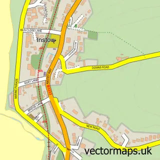
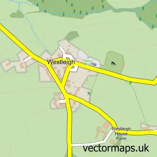
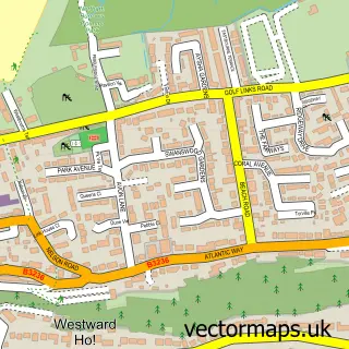
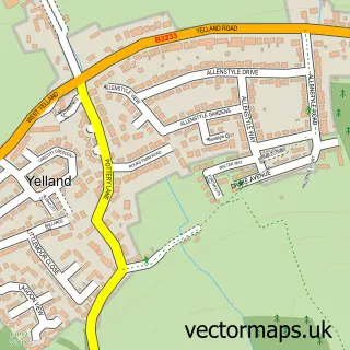
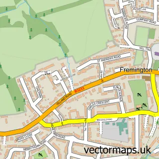
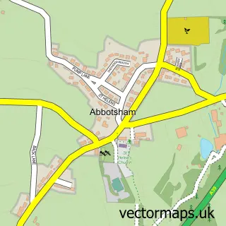
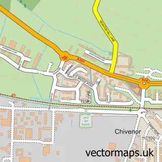
Nearby street map samples around Appledore

More street maps in Devon
750 metre map area coverage
Boundary, postcode and point of interest information for the 750m x 750m rectangle centred on this sample map.
Boundaries containing map centre
Constituency: Torridge and Tavistock Co Const
County: Devon County
District: Torridge District
Icb: NHS Devon ICB
Parish: Northam CP
Police Force: devon and cornwall
Postcode District: EX39
Postcode Sector: EX39 1
Ward: Appledore Ward
Nearby boundaries intersecting sample
Constituency: North Devon Co Const
District: North Devon District
Parish: Instow CP
Ward: Instow Ward
Postcode coverage
POI category counts
Art Gallery: 5
Cottage: 5
Flowers And Gifts Shop: 4
Hotel: 4
Pub: 4
Bar: 3
Bed And Breakfast: 3
Cafe: 3
Church Cathedral: 3
Holiday Rental Home: 3
Sample points of interest
- Firefly Ltd.
- North Devon Does
- North Devon Does
- St Mary's, Appledore, North Devon
- Clive Jones Architect
- OCR Architecture
- Appledore Gallery
- Docton Court Gallery
- Docton Court Gallery
- Raspberry Rings, Glass Studio
- The Appledore Crafts Co
- Appledore Crafts Co
Create a larger editable map of Appledore
This sample shows only a 750 metre area. To create a larger map of Appledore, use our map builder to choose your own coverage area, add titles and download editable SVG, PDF and PNG files.
Create a custom map of Appledore