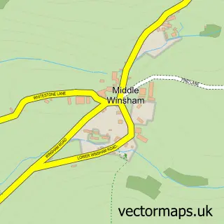
This Woolacombe street map is a detailed vector street map covering a 750m x 750m area. Select a larger area to create and download your own vector street map of Woolacombe.
The 750-metre map sample for Woolacombe covers 223 mapped buildings and approximately 12.2 km of road detail, of which 18 named roads are named. The immediate area includes 1 school and 6 pubs. The wider area around Woolacombe features 4 tourism points of interest, 15 food and drink venues and 8 hotels. To create a larger or custom map of Woolacombe, the map builder lets you define your own coverage area and download editable SVG, PDF and PNG files.
Create a larger editable map of Woolacombe
Choose any area you need and generate a high-quality vector map instantly. Perfect for print, planning, design, business and personal use.

This Woolacombe street map in Devon is available as downloadable SVG, PDF and PNG map files, or as a printed map for planning, business, display, education, local information and design work. You can also create a larger custom map area using the map selector.
What this Woolacombe map sample shows
Woolacombe lies within Mortehoe Cp parish, part of Mortehoe ward in the North Devon District local authority area. The postcode geography for this area includes the EX postcode area, the EX34 postcode district and the EX34 7 postcode sector. Residents fall under the Nhs Devon Integrated Care Board for NHS services.
Local features near Woolacombe
Within 2 milesAmenities and services in and around Woolacombe.
Administrative and postcode information for Woolacombe
Woolacombe lies within Mortehoe Cp parish, part of Mortehoe ward in the North Devon District local authority area. The postcode geography for this area includes the EX postcode area, the EX34 postcode district and the EX34 7 postcode sector. Residents fall under the Nhs Devon Integrated Care Board for NHS services.
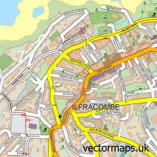
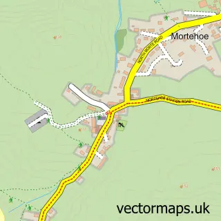
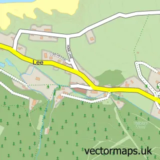
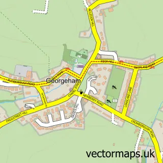
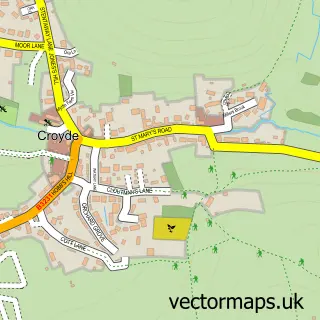
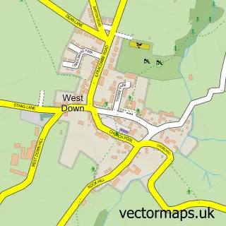
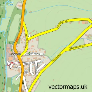
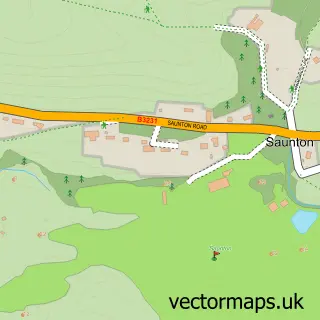
Nearby street map samples around Woolacombe

More street maps in Devon
750 metre map area coverage
Boundary, postcode and point of interest information for the 750m x 750m rectangle centred on this sample map.
Boundaries containing map centre
Constituency: North Devon Co Const
County: Devon County
District: North Devon District
Icb: NHS Devon ICB
Parish: Mortehoe CP
Police Force: devon and cornwall
Postcode District: EX34
Postcode Sector: EX34 7
Ward: Mortehoe Ward
Nearby boundaries intersecting sample
No additional intersecting boundaries found.
Postcode coverage
POI category counts
Holiday Rental Home: 12
Hotel: 8
Ev Charging Station: 7
Pub: 6
Restaurant: 6
Convenience Store: 5
Surf Shop: 5
Clothing Store: 4
Amusement Park: 3
Beach: 3
Sample points of interest
- Funder Island
- Stardust Leisure
- Sunspot Amusements
- St Sabinus
- New Gallery
- The New Gallery
- Red Barn Woolacombe
- En Thai Singh
- Woolacombe Food Store Ltd
- Fudgies Bakehouse, Woolacombe
- Bar Electric
- Morcombe Beach
Create a larger editable map of Woolacombe
This sample shows only a 750 metre area. To create a larger map of Woolacombe, use our map builder to choose your own coverage area, add titles and download editable SVG, PDF and PNG files.
Create a custom map of Woolacombe