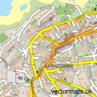
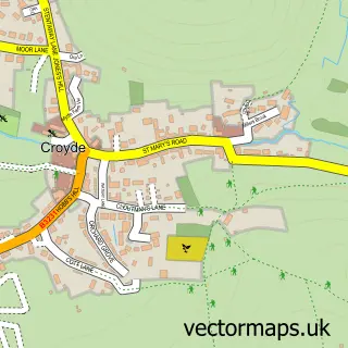
This Lee street map is a detailed vector street map covering a 750m x 750m area. Select a larger area to create and download your own vector street map of Lee.
The 750-metre map sample for Lee covers 65 mapped buildings and approximately 6.3 km of road detail, of which 2 named roads are named. The immediate area includes 1 GP surgery within 2 miles and 1 pub. The wider area around Lee features 1 tourism point of interest, 1 food and drink venue and 12 campsites within 2 miles. To create a larger or custom map of Lee, the map builder lets you define your own coverage area and download editable SVG, PDF and PNG files.
Create a larger editable map of Lee
Choose any area you need and generate a high-quality vector map instantly. Perfect for print, planning, design, business and personal use.

This Lee street map in Devon is available as downloadable SVG, PDF and PNG map files, or as a printed map for planning, business, display, education, local information and design work. You can also create a larger custom map area using the map selector.
What this Lee map sample shows
Lee lies within Ilfracombe Cp parish, part of Ilfracombe West ward in the North Devon District local authority area. The postcode geography for this area includes the EX postcode area, the EX34 postcode district and the EX34 8 postcode sector. Residents fall under the Nhs Devon Integrated Care Board for NHS services.
Local features near Lee
Within 2 milesAmenities and services in and around Lee.
Administrative and postcode information for Lee
The local authority covering Lee is North Devon District, within the county of Devon. The settlement lies within Ilfracombe West ward and Ilfracombe Cp civil parish. The EX34 postcode district and EX34 8 postcode sector serve the immediate area. NHS provision in the area is delivered through Northern Devon Nhs Trust.
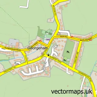
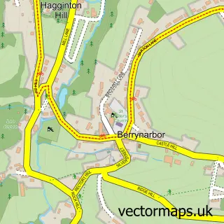
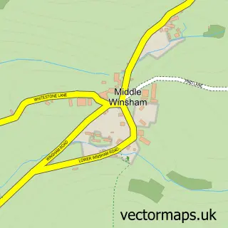
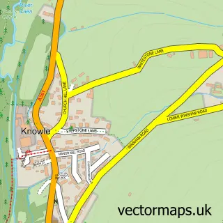
Nearby street map samples around Lee

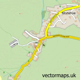
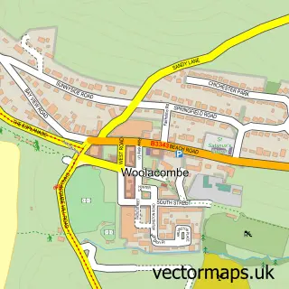
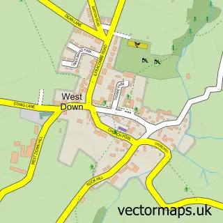
More street maps in Devon
750 metre map area coverage
Boundary, postcode and point of interest information for the 750m x 750m rectangle centred on this sample map.
Boundaries containing map centre
Constituency: North Devon Co Const
County: Devon County
District: North Devon District
Icb: NHS Devon ICB
Parish: Ilfracombe CP
Police Force: devon and cornwall
Postcode District: EX34
Postcode Sector: EX34 8
Ward: Ilfracombe West Ward
Nearby boundaries intersecting sample
Parish: Mortehoe CP
Postcode Sector: EX34 7
Ward: Mortehoe Ward
Postcode coverage
POI category counts
Accountant: 1
Active Life: 1
Anglican Church: 1
Arts And Entertainment: 1
Campground: 1
Community Center: 1
Cottage: 1
Makeup Artist: 1
Pub: 1
Rental Services: 1
Sample points of interest
- Curnow & Co Ltd
- Lee Bay, Devon
- St. Matthew and St. Wardrede
- J Healing
- Lee Meadow Campsite
- Lee Memorial Hall
- The Old Vicarage
- Lime Beauty Makeup Artist
- The Grampus
- Old Maids Cottage
- Travel Counsellors
Create a larger editable map of Lee
This sample shows only a 750 metre area. To create a larger map of Lee, use our map builder to choose your own coverage area, add titles and download editable SVG, PDF and PNG files.
Create a custom map of Lee