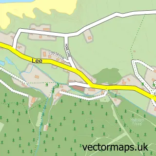
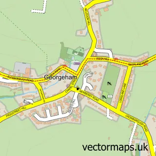
This Ilfracombe street map is a detailed vector street map covering a 750m x 750m area. Select a larger area to create and download your own vector street map of Ilfracombe.
The 750-metre map sample for Ilfracombe covers 341 mapped buildings and approximately 22.7 km of road detail, of which 53 named roads are named. The immediate area includes 1 school, 1 GP surgery within 2 miles, 5 pubs and 1 MOT station, with 2 within 2 miles. The wider area around Ilfracombe features 9 tourism points of interest, 29 food and drink venues and 19 hotels. To create a larger or custom map of Ilfracombe, the map builder lets you define your own coverage area and download editable SVG, PDF and PNG files.
Create a larger editable map of Ilfracombe
Choose any area you need and generate a high-quality vector map instantly. Perfect for print, planning, design, business and personal use.

This Ilfracombe street map in Devon is available as downloadable SVG, PDF and PNG map files, or as a printed map for planning, business, display, education, local information and design work. You can also create a larger custom map area using the map selector.
What this Ilfracombe map sample shows
Ilfracombe lies within Ilfracombe Cp parish, part of Ilfracombe East ward in the North Devon District local authority area. The postcode geography for this area includes the EX postcode area, the EX34 postcode district and the EX34 9 postcode sector. Residents fall under the Nhs Devon Integrated Care Board for NHS services.
Local features near Ilfracombe
Within 2 milesAmenities and services in and around Ilfracombe.
Administrative and postcode information for Ilfracombe
The local authority covering Ilfracombe is North Devon District, within the county of Devon. The settlement lies within Ilfracombe East ward and Ilfracombe Cp civil parish. The EX34 postcode district and EX34 9 postcode sector serve the immediate area. NHS provision in the area is delivered through Northern Devon Nhs Trust.
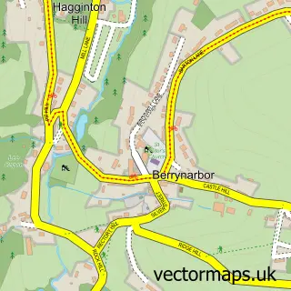
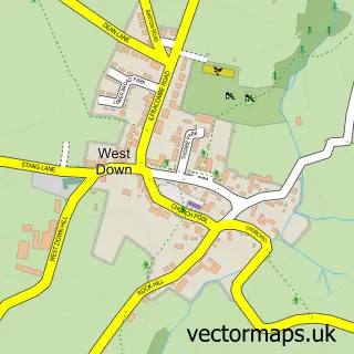
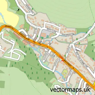
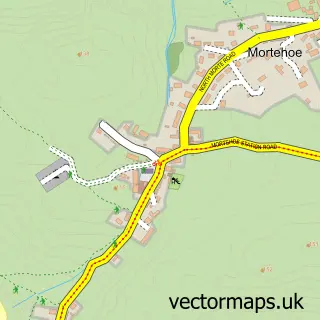
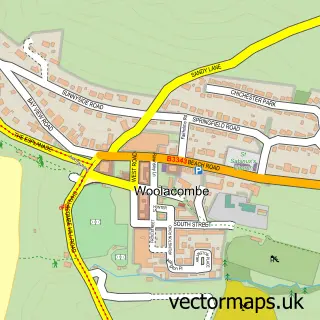
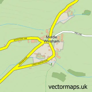
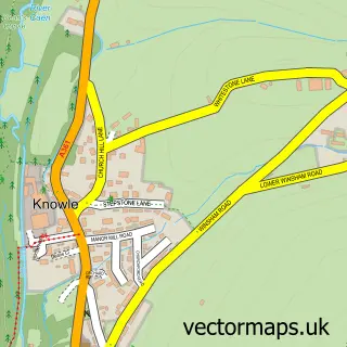
Nearby street map samples around Ilfracombe

More street maps in Devon
750 metre map area coverage
Boundary, postcode and point of interest information for the 750m x 750m rectangle centred on this sample map.
Boundaries containing map centre
Constituency: North Devon Co Const
County: Devon County
District: North Devon District
Icb: NHS Devon ICB
Parish: Ilfracombe CP
Police Force: devon and cornwall
Postcode District: EX34
Postcode Sector: EX34 8
Ward: Ilfracombe East Ward
Nearby boundaries intersecting sample
Postcode Sector: EX34 9
Ward: Ilfracombe West Ward
Postcode coverage
POI category counts
Hotel: 19
Cafe: 16
Convenience Store: 10
Beauty Salon: 8
Flowers And Gifts Shop: 8
Bed And Breakfast: 7
Professional Services: 7
Holiday Rental Home: 6
Art Gallery: 5
Arts And Crafts: 5
Sample points of interest
- Ilfracombe,N.Devon
- APB Accountants
- Westcotts Chartered Accountants & Business Advisers
- Kin Wellness Devon
- Blink Marketing and Public Relations
- Kitchen Canopy Cleaners
- Dr Jack Cooper
- Johnny C's Bar & Bistro
- Showboat Amusements
- Holy Trinity Church - 'The Parish'
- Scope Charity Shop
- Vintage Revival
Create a larger editable map of Ilfracombe
This sample shows only a 750 metre area. To create a larger map of Ilfracombe, use our map builder to choose your own coverage area, add titles and download editable SVG, PDF and PNG files.
Create a custom map of Ilfracombe