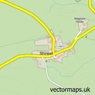
This Berrynarbor street map is a detailed vector street map covering a 750m x 750m area. Select a larger area to create and download your own vector street map of Berrynarbor.
The 750-metre map sample for Berrynarbor covers 168 mapped buildings and approximately 9.9 km of road detail, of which 9 named roads are named. The immediate area includes 1 school, 1 pub and 1 MOT station within 2 miles. The wider area around Berrynarbor features 2 tourism points of interest, 1 food and drink venue and 6 campsites within 2 miles. To create a larger or custom map of Berrynarbor, the map builder lets you define your own coverage area and download editable SVG, PDF and PNG files.
Create a larger editable map of Berrynarbor
Choose any area you need and generate a high-quality vector map instantly. Perfect for print, planning, design, business and personal use.

This Berrynarbor street map in Devon is available as downloadable SVG, PDF and PNG map files, or as a printed map for planning, business, display, education, local information and design work. You can also create a larger custom map area using the map selector.
What this Berrynarbor map sample shows
Berrynarbor lies within Berrynarbor Cp parish, part of Marwood ward in the North Devon District local authority area. The postcode geography for this area includes the EX postcode area, the EX34 postcode district and the EX34 9 postcode sector. Residents fall under the Nhs Devon Integrated Care Board for NHS services.
Local features near Berrynarbor
Within 2 milesAmenities and services in and around Berrynarbor.
Administrative and postcode information for Berrynarbor
The local authority covering Berrynarbor is North Devon District, within the county of Devon. The settlement lies within Marwood ward and Berrynarbor Cp civil parish. The EX34 postcode district and EX34 9 postcode sector serve the immediate area. NHS provision in the area is delivered through Northern Devon Nhs Trust.
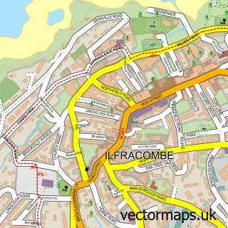
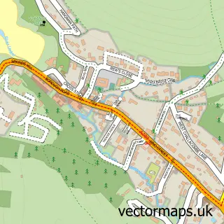
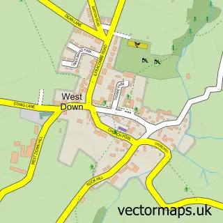
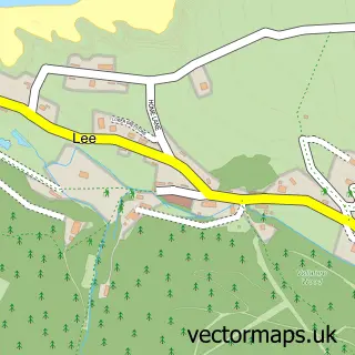
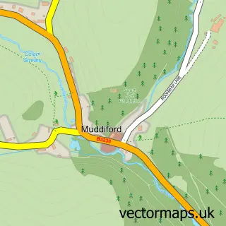
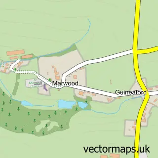
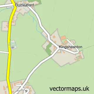
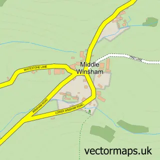
Nearby street map samples around Berrynarbor

More street maps in Devon
750 metre map area coverage
Boundary, postcode and point of interest information for the 750m x 750m rectangle centred on this sample map.
Boundaries containing map centre
Constituency: North Devon Co Const
County: Devon County
District: North Devon District
Icb: NHS Devon ICB
Parish: Berrynarbor CP
Police Force: devon and cornwall
Postcode District: EX34
Postcode Sector: EX34 9
Ward: Marwood Ward
Nearby boundaries intersecting sample
No additional intersecting boundaries found.
Postcode coverage
POI category counts
Bed And Breakfast: 3
Campground: 2
Post Office: 2
Accommodation: 1
Anglican Church: 1
Bar: 1
Church Cathedral: 1
Currency Exchange: 1
Elementary School: 1
Korean Grocery Store: 1
Sample points of interest
- School House, Berrynarbor
- St Peter's
- The Bent Peg
- Berry Mill House
- Grattons Cedar Lodges
- Langleigh Guest House
- Mill Park Campsite
- Mill Park Touring Caravan & Camp Site
- St Peter's Church
- Post Office Travel Money
- Berrynarbor V C Primary School
- Berrynarbor Post Office
Create a larger editable map of Berrynarbor
This sample shows only a 750 metre area. To create a larger map of Berrynarbor, use our map builder to choose your own coverage area, add titles and download editable SVG, PDF and PNG files.
Create a custom map of Berrynarbor