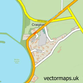
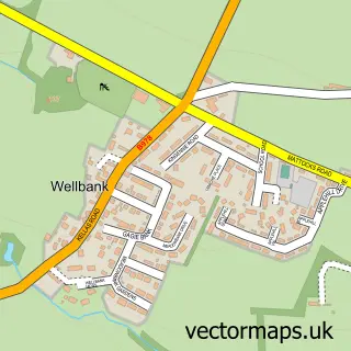
This Barry street map is a detailed vector street map covering a 750m x 750m area. Select a larger area to create and download your own vector street map of Barry.
The 750-metre map sample for Barry covers 60 mapped buildings and approximately 8.3 km of road detail, of which 5 named roads are named. The immediate area includes 1 GP surgery within 2 miles and 3 MOT stations within 2 miles. The wider area around Barry features 1 campsite within 2 miles. To create a larger or custom map of Barry, the map builder lets you define your own coverage area and download editable SVG, PDF and PNG files.
Create a larger editable map of Barry
Choose any area you need and generate a high-quality vector map instantly. Perfect for print, planning, design, business and personal use.

This Barry street map in Angus is available as downloadable SVG, PDF and PNG map files, or as a printed map for planning, business, display, education, local information and design work. You can also create a larger custom map area using the map selector.
What this Barry map sample shows
Barry lies within Angus parish, part of Carnoustie And District ward in the Angus local authority area. The postcode geography for this area includes the DD postcode area, the DD7 postcode district and the DD7 7 postcode sector. Residents fall under the Tayside for NHS services.
Local features near Barry
Within 2 milesAmenities and services in and around Barry.
Administrative and postcode information for Barry
The local authority covering Barry is Angus, within the county of Angus. The settlement lies within Carnoustie And District ward and Angus civil parish. The DD7 postcode district and DD7 7 postcode sector serve the immediate area. NHS provision in the area is delivered through Tayside.
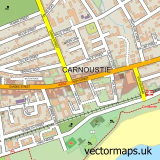
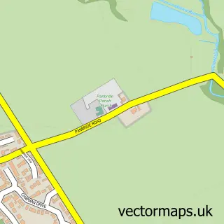
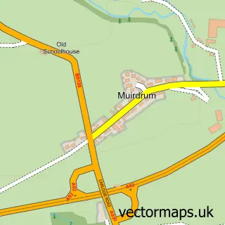
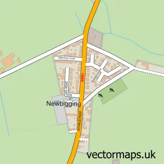
Nearby street map samples around Barry

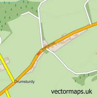
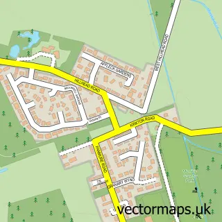
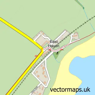
More street maps in Angus
750 metre map area coverage
Boundary, postcode and point of interest information for the 750m x 750m rectangle centred on this sample map.
Boundaries containing map centre
Constituency: Arbroath and Broughty Ferry Co Const
District: Angus
Icb: Tayside
Postcode District: DD7
Postcode Sector: DD7 7
Ward: Carnoustie and District Ward
Nearby boundaries intersecting sample
No additional intersecting boundaries found.
Postcode coverage
POI category counts
Auto Body Shop: 1
Automotive Repair: 1
Bathroom Remodeling: 1
Beauty And Spa: 1
Furniture Store: 1
Japanese Restaurant: 1
Post Office: 1
Sample points of interest
- RS Auto Body Repairs
- RJS Autocare
- Coast Bathrooms & Kitchens
- Allura Facial Aesthetics
- Leaker Direct Dist
- Roll n' Beyond
- Barry Sub Post Office
Create a larger editable map of Barry
This sample shows only a 750 metre area. To create a larger map of Barry, use our map builder to choose your own coverage area, add titles and download editable SVG, PDF and PNG files.
Create a custom map of Barry