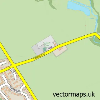
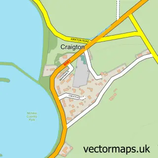
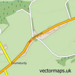
This Carnoustie street map is a detailed vector street map covering a 750m x 750m area. Select a larger area to create and download your own vector street map of Carnoustie.
The 750-metre map sample for Carnoustie covers 156 mapped buildings and approximately 21.3 km of road detail, of which 38 named roads are named. The immediate area includes 1 railway station, 1 GP surgery within 2 miles and 3 MOT stations within 2 miles. The wider area around Carnoustie features 1 tourism point of interest, 10 food and drink venues and 4 hotels. To create a larger or custom map of Carnoustie, the map builder lets you define your own coverage area and download editable SVG, PDF and PNG files.
Create a larger editable map of Carnoustie
Choose any area you need and generate a high-quality vector map instantly. Perfect for print, planning, design, business and personal use.

This Carnoustie street map in Angus is available as downloadable SVG, PDF and PNG map files, or as a printed map for planning, business, display, education, local information and design work. You can also create a larger custom map area using the map selector.
What this Carnoustie map sample shows
Carnoustie lies within Angus parish, part of Carnoustie And District ward in the Angus local authority area. The postcode geography for this area includes the DD postcode area, the DD7 postcode district and the DD7 7 postcode sector. Residents fall under the Tayside for NHS services.
Local features near Carnoustie
Within 2 milesAmenities and services in and around Carnoustie.
Administrative and postcode information for Carnoustie
The local authority covering Carnoustie is Angus, within the county of Angus. The settlement lies within Carnoustie And District ward and Angus civil parish. The DD7 postcode district and DD7 7 postcode sector serve the immediate area. NHS provision in the area is delivered through Tayside.
Nearby street map samples around Carnoustie

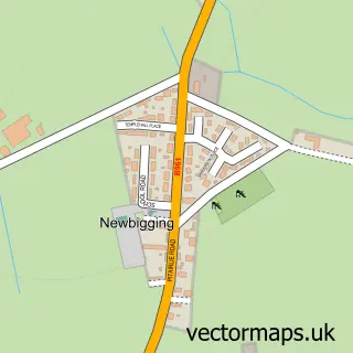
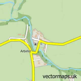
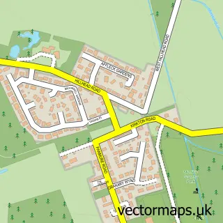
More street maps in Angus
750 metre map area coverage
Boundary, postcode and point of interest information for the 750m x 750m rectangle centred on this sample map.
Boundaries containing map centre
Constituency: Arbroath and Broughty Ferry Co Const
District: Angus
Icb: Tayside
Postcode District: DD7
Postcode Sector: DD7 6
Ward: Carnoustie and District Ward
Nearby boundaries intersecting sample
Postcode Sector: DD7 7
Postcode coverage
POI category counts
Flowers And Gifts Shop: 5
Restaurant: 5
Banks: 4
Beauty Salon: 4
Coffee Shop: 4
Convenience Store: 4
Hair Salon: 4
Hotel: 4
Beauty And Spa: 3
Boutique: 3
Sample points of interest
- Walker Dunnett & Co
- 24 Design
- Harbour Gallery
- Carnoustie LC
- Willowbank House
- The Cooperative Food Carnoustie Superstore
- JM Bakery
- Bank of Scotland
- Bank of Scotland
- Community Banker Carnoustie Banking Hub
- HSBC - Carnoustie - Banking Hub - HSBC staff not available
- Yorkshire Building Society
Create a larger editable map of Carnoustie
This sample shows only a 750 metre area. To create a larger map of Carnoustie, use our map builder to choose your own coverage area, add titles and download editable SVG, PDF and PNG files.
Create a custom map of Carnoustie